Geographic Names Information System (GNIS) - USGS National Map Downloadable Data Collection
Dates
Publication Date
2023
Start Date
1890
End Date
2023
Citation
U.S. Geological Survey, 2023, Geographic Names Information System (GNIS) - USGS National Map Downloadable Data Collection: U.S. Geological Survey.
Summary
The Geographic Names Information System (GNIS) is the Federal standard for geographic nomenclature. The U.S. Geological Survey developed the GNIS for the U.S. Board on Geographic Names, a Federal inter-agency body chartered by public law to maintain uniform feature name usage throughout the Government and to promulgate standard names to the public. The GNIS is the official repository of domestic geographic names data; the official vehicle for geographic names use by all departments of the Federal Government; and the source for applying geographic names to Federal electronic and printed products of all types. See https://www.usgs.gov/board-on-geographic-names for additional information.
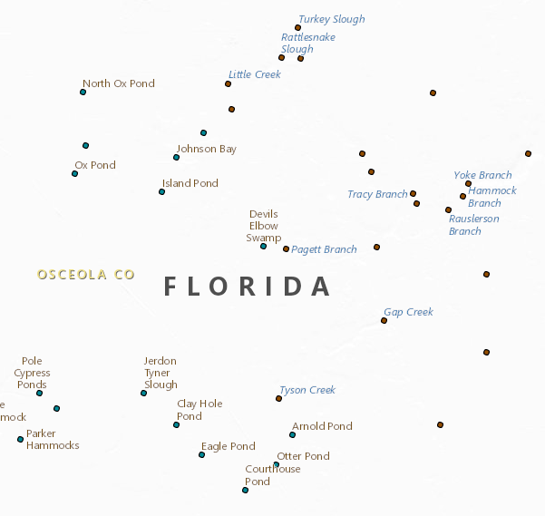
The Geographic Names Information System contains information about physical geographic features of all types in the United States, associated areas, and Antarctica, current and historical, but not including roads and highways. The database holds the Federally recognized name of each feature and defines the feature location by state, county, USGS topographic map, as applicable, and geographic coordinates. Other attributes include names or spellings other than the official name, feature designations, feature classification, historical, and descriptive information. The database assigns a unique, permanent feature identifier, the Feature ID, as the ANSI-standard Federal key for accessing, integrating, or reconciling feature data from multiple data sets. The GNIS provides data to all levels of government and to the public, as well as to numerous applications through a web application, web map and feature services, and file download services.