Filters: Tags: Valley Forge (X)
10 results (41ms)|
Filters
Date Range
Contacts
Tag Types Tag Schemes |
The geology of an area of 660 square miles mostly in the northeastern corner of Tennessee and small adjacent areas in Virginia and North Carolina is the subject of this report. The region lies principally in the Unaka province, with extensions northwestward into the Appalachian Valley and southwestward into the Blue Ridge province. The report combines results of surveys made between 1941 and 1953 by the U. S. Geological Survey, the Tennessee Division of Geology, and the Tennessee Valley Authority, and is published in cooperation with the Tennessee Division of Geology. Northeasternmost Tennessee is a region of widespread mineralization and was formerly important for mineral production. Iron, manganese, and bauxite...
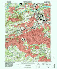
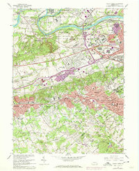
USGS Historical Quadrangle in GeoPDF.
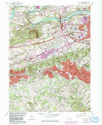
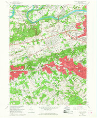
USGS Historical Quadrangle in GeoPDF.
The vegetation and landcover of Valley Forge National Historical Park (VAFO) were mapped to the association level of the National Vegetation Classification System developed by The Nature Conservancy and network of Natural Heritage Programs. The mapping process was based on the USGS-NPS Vegetation Mapping Program with some modifications due to the size of the mapped polygons. A total of 308 plots were used to assess the thematic accuracy of the database.The estimated overall thematic accuracy of the database is 81.20 percent. At a 90 percent confidence interval, the estimated minimum overall thematic accuracy is 77.40 percent and the estimated maximum is 85.00 percent. Based on hypothesis testing, the final association...
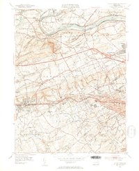
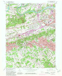
USGS Historical Quadrangle in GeoPDF.
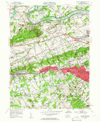
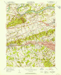
USGS Historical Quadrangle in GeoPDF.
USGS Historical Quadrangle in GeoPDF.
USGS Historical Quadrangle in GeoPDF.
USGS Historical Quadrangle in GeoPDF.
USGS Historical Quadrangle in GeoPDF.
|

|
