Filters: Tags: VINCENT (X)
13 results (50ms)|
Filters
Date Range
Contacts
Tag Types Tag Schemes |
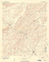
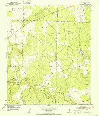
USGS Historical Quadrangle in GeoPDF.
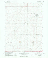
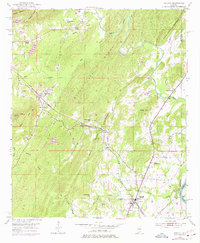
USGS Historical Quadrangle in GeoPDF.
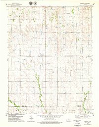
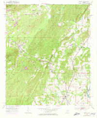
USGS Historical Quadrangle in GeoPDF.
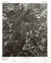
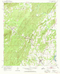
USGS Historical Quadrangle in GeoPDF.
These datasets contain XYZ locations and other attributes of points from topographic bank surveys at six sites downstream from three dams on the Coosa River in Alabama, from October 2014 through July 2017. At the four sites downstream from H. Neely Henry and Walter Bouldin Dams, topographic data were collected using a motion-compensated LiDAR (MC-LiDAR) system mounted on a marine survey vessel equipped with an inertial navigation system (INS). Data were collected as the vessel traversed the river along a survey line near the site. Data collection software integrated and stored the range and angular measurements from the LiDAR, and the horizontal and vertical position and attitude data of the vessel from the INS...
USGS Historical Quadrangle in GeoPDF.
These datasets contain XYZ locations and other attributes of points from topographic bank surveys of sites LM102 and LM108 downstream from Logan Martin Dam near Vincent, Alabama, from October 16, 2014, through July 18, 2017. Topographic data were collected using a tripod-based terrestrial LiDAR (T-LiDAR) system at several tripod setups distributed throughout the reach. Data collection software integrated and stored the range and angular measurements from the T-LiDAR. Computer software was utilized to process the raw data files, align the various scans in reference to one another, and extract the topography data in a usable format. Point cloud comparison software was then used to compute the distance and volume gain...
USGS Historical Quadrangle in GeoPDF.
USGS Historical Quadrangle in GeoPDF.
USGS Historical Quadrangle in GeoPDF.
USGS Historical Quadrangle in GeoPDF.
USGS Historical Quadrangle in GeoPDF.
USGS Historical Quadrangle in GeoPDF.
|

|
