Filters: Tags: TRACY (X)
21 results (17ms)|
Filters
Date Range
Types Contacts
Categories Tag Types Tag Schemes |

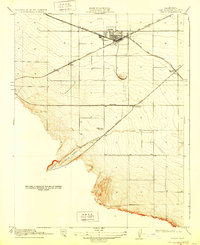
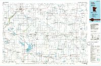
USGS Historical Quadrangle in GeoPDF.
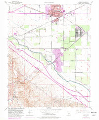
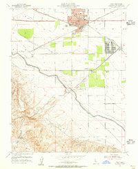
USGS Historical Quadrangle in GeoPDF.
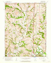
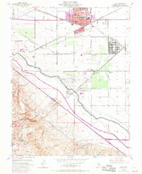
USGS Historical Quadrangle in GeoPDF.
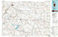
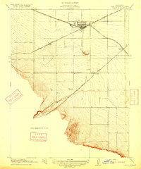
USGS Historical Quadrangle in GeoPDF.
USGS Historical Quadrangle in GeoPDF.
USGS Historical Quadrangle in GeoPDF.
USGS Historical Quadrangle in GeoPDF.
USGS Historical Quadrangle in GeoPDF.
USGS Historical Quadrangle in GeoPDF.
USGS Historical Quadrangle in GeoPDF.
USGS Historical Quadrangle in GeoPDF.
A high-resolution (10-meter per pixel) digital elevation model (DEM) was created for the Sacramento-San Joaquin Delta using both bathymetry and topography data relative to current modern datum of North American Vertical Datum of 1988 (NAVD88). This DEM is the result of collaborative efforts of the U.S. Geological Survey (USGS) and the California Department of Water Resources (DWR). The base of the DEM is from a 10-m DEM released in 2004 and updated in 2005 (Foxgrover and others, 2005) that used Environmental Systems Research Institute (ESRI), ArcGIS Topo to Raster module to interpolate grids from single beam bathymetric surveys collected by DWR, the Army Corp of Engineers (COE), the National Oceanic and Atmospheric...
Categories: Data;
Types: Citation,
Map Service,
OGC WFS Layer,
OGC WMS Layer,
OGC WMS Service;
Tags: American River,
Bathymetry and Elevation,
Echo Sounders,
Fremont Weir,
GPS (Global Positioning System),
USGS Historical Quadrangle in GeoPDF.
USGS Historical Quadrangle in GeoPDF.
This data release presents point data associated with the geologic and geophysical maps of the Stockton 30 x 60 minute quadrangle, California. Data include principal fact information for new gravity measurements collected by the U.S. Geological Survey from 2015 to 2018 and for existing gravity data. Gravity and magnetic gradients were also calculated in the Stockton 30 x 60 minute quadrangle, California. The gravity data have been processed to isostatic residual gravity anomalies that reflect crustal density variations. Maximum horizontal gradients were calculated from gravity and magnetic potential grids of the Stockton quadrangle to map out structures that juxtapose rocks of differing density and magnetization,...
USGS Historical Quadrangle in GeoPDF.
USGS Historical Quadrangle in GeoPDF.
USGS Historical Quadrangle in GeoPDF.
USGS Historical Quadrangle in GeoPDF.
USGS Historical Quadrangle in GeoPDF.
|

|
