Filters: Tags: Rifle (X)
8 results (53ms)|
Filters
Date Range
Contacts Categories Tag Types Tag Schemes |
Geological models for petroleum generation suggest thermal conversion of oil-prone sedimentary organic matter in the presence of water promotes increased liquid saturate yield, whereas absence of water causes formation of an aromatic, cross-linked solid bitumen residue. To test the influence of exchangeable hydrogen from water, organic-rich (22 wt.% total organic carbon, TOC) mudrock samples from the Eocene lacustrine Green River Mahogany zone oil shale were pyrolyzed under hydrous and anhydrous conditions at temperatures between 300 and 370°C for 72 hrs. Petrographic approaches including optical microscopy, reflectance, Raman spectroscopy, and scanning electron and transmission electron microscopy, supplemented...
Categories: Data;
Tags: Anhydrous pyrolysis,
Colorado,
Energy Resources,
Garfield County,
Geochemistry,
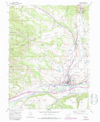
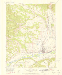
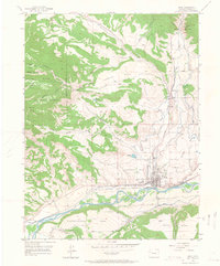
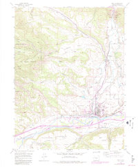
USGS Historical Quadrangle in GeoPDF.
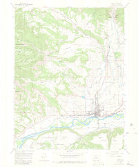
USGS Historical Quadrangle in GeoPDF.
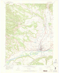
USGS Historical Quadrangle in GeoPDF.
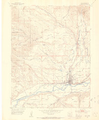
USGS Historical Quadrangle in GeoPDF.
USGS Historical Quadrangle in GeoPDF.
USGS Historical Quadrangle in GeoPDF.
USGS Historical Quadrangle in GeoPDF.
|

|
