Filters: Tags: Atlanta (X)
47 results (52ms)|
Filters
Date Range
Contacts
Categories Tag Types
|
A well-constructed dirt road with a small truck on it.
The dumps and foundations of an old mill at the McCraken mine.
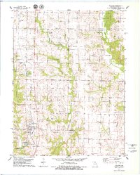
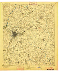
USGS Historical Quadrangle in GeoPDF.
USGS Historical Quadrangle in GeoPDF.
USGS Historical Quadrangle in GeoPDF.
The dataset contains Esherichia coli and quantitative polymerase chain reaction data for microbial source tracking markers in the Chattahoochee River and streams within the Chattahoochee River National Recreation area from samples collected in the winter and summer of the federal fiscal years 2016 and 2017. Six water samples were collected from three sites on the Chattahoochee River each season. Eleven stream sites and one additional site on the Chattahoochee River were sampled once each season, with the exception of two sites, which were not sampled in winter FY16.
Categories: Data;
Tags: Atlanta,
Chattahoochee,
Environmental Health,
USGS Science Data Catalog (SDC),
Water Resources,
A man and a truck in the foreground, with a stone house in the center.
The reamins of a kiln at the McCraken mine.
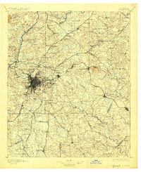
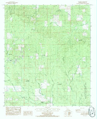
USGS Historical Quadrangle in GeoPDF.
USGS Historical Quadrangle in GeoPDF.

USGS Historical Quadrangle in GeoPDF.

USGS Historical Quadrangle in GeoPDF.
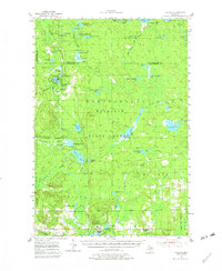
USGS Historical Quadrangle in GeoPDF.
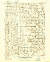
USGS Historical Quadrangle in GeoPDF.
This location is part of the Arizona Mineral Industry Location System (AzMILS), an inventory of mineral occurences, prospects and mine locations in Arizona. Mohave429A is located in T13N R15W Sec 25 NE in the Castaneda Hills - 15 Min quad. This collection consists of various reports, maps, records and related materials acquired by the Arizona Department of Mines and Mineral Resources regarding mining properties in Arizona. Information was obtained by various means, including the property owners, exploration companies, consultants, verbal interviews, field visits, newspapers and publications. Some sections may be redacted for copyright. Please see the access statement.
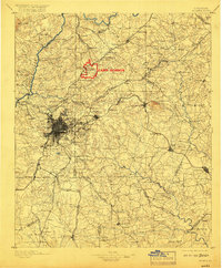
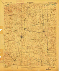
USGS Historical Quadrangle in GeoPDF.

USGS Historical Quadrangle in GeoPDF.
USGS Historical Quadrangle in GeoPDF.
USGS Historical Quadrangle in GeoPDF.
USGS Historical Quadrangle in GeoPDF.
|

|
