Filters
Contacts
(Less)
-
U.S. Geological Survey, National Geospatial Technical Operations Center
-
U.S. Geological Survey
-
DigitalGlobe, Inc.
-
Team Leader
-
Peter Briere
-
Army Corps of Engineers, Jacksonville District
-
USGS - National Geospatial Technical Operations Center (NGTOC)
-
U.S. Department of Agriculture, Natural Resources Conservation Service, National Geospatial Management Center
-
Pictometry International Corp.
-
U.S. Geological Survey - ScienceBase
-
Northern Prairie Wildlife Research Center
-
David M. Mushet
-
U.S. Geological Survey - ScienceBase
-
Louis A. Yost
-
Elizabeth A Nystrom
-
Water Resources
-
Andrew W. Stevens
-
Durelle Smith, Staff Scientist
-
Lyman K. Thorsteinson
-
Aero-Metric, Inc.
-
Jacqueline Olson
-
Mark W. Carter
-
U.S. Geological Survey, Southwest Region
-
Ecosystems
-
Geographic Names Project, U.S. Geological Survey
-
Roger L. Payne
-
Karen R. Ryberg
-
Kristine L Verdin
-
Kristine L. Verdin
-
ScienceBase
-
U.S. Geological Survey - Science Base
-
Patrick R Jackson
-
Larry Robinson
-
Michael J. Holmberg
-
Western Alaska Landscape Conservation Cooperative
-
USGS - Crustal Geophysics and Geochemistry Science Center
-
John R Matchett
-
GHSC Data Steward
-
Jonathan A. Warrick
-
Wildland Fire Science, Earth Resources Observation and Science Center, U.S. Geological Survey
-
Brian D. Rodriguez
-
Guy Gelfenbaum
-
Heather M. Weiner
-
Ian M. Miller
-
U.S. Geological Survey – ScienceBase
-
Southwest Biological Science Center
-
Natural Hazards
-
Philip Brown
-
Energy and Minerals
-
Melissa L. Riskin
-
Matthew L Brooks
-
GS ScienceBase
-
Frank L. Engel
-
Jason S. Finkelstein
-
Dominick Antolino
-
Kara M. Watson
-
Lindsay V Reynolds
-
Geology, Geophysics, and Geochemistry Science Center
-
David Smith
-
Bradford Butman
-
William W Danforth
-
Office of Planning and Programming
-
William C Schwab
-
Richard P Signell
-
Central Midwest Water Science Center
-
James Falcone
-
P. Ryan Jackson
-
U.S. Geological Survey, Fort Collins Science Center (FORT)
-
Anderson, Eric D.
-
Box, Stephen E.
-
Kaitlyn Strickfaden
-
Baker, Michael S.
-
Blakely, Richard J.
-
Ciembronowicz, Kate T.
-
Enrika Hlavacek
-
Paul M Bradley
-
San Juan, Carma A.
-
ScienceBase Team
-
Jonathan V Haynes
-
Richard J Huizinga
-
Brian Klager
-
Cross, VeeAnn A.
-
DeWitt, Ed H.
-
Edward A. Bulliner
-
Lund, Karen
-
NewGAM Lab
-
Ryan F. Adams
-
U.S. Army Corps of Engineers' Upper Mississippi River Restoration (UMRR) Program Long Term Resource Monitoring (LTRM) element
-
U.S. Geological Survey Upper Midwest Environmental Sciences Center
-
Scott T Prinos
-
Customer Services Representative
-
Desert Landscape Conservation Cooperative
-
Holm-Denoma, Christopher S.
-
Soto-Viruet, Yadira
-
Textoris, Steven D.
-
Wacaster, Susan
-
Halley, Robert B.
-
Hammar-Klose, Erika S.
-
Jeanne M. Jones
-
John E. Hughes Clarke
-
Nicole M Herman-Mercer
-
Heather L Parks
-
FRESC Science Data Coordinator
-
Hart, Rheannon M.
-
Hine, Al C.
-
Jarrett, Bret D.
-
Locker, Stan D.
-
Michael R Rosen
-
Naar, Dave F.
-
National Atlas of the United States
-
Raymond F. Kokaly
-
Saltus, Richard W.
-
Twichell, David C.
-
Brian D Rodriguez
-
Kresse, Timothy M.
-
Philip J Brown II
-
Forest and Rangeland Ecosystem Science Center
-
National Research Program
-
Marissa Wulff
-
Michaela R Johnson
-
Science Base
-
Westerman, Drew A.
-
Jennifer A Curtis
-
Gerald A Kunkle
-
South Atlantic Water Science Center
-
Adam J. Stonewall
-
Adam J. Stonewall or Information Officer
-
Burke Minsley
-
California Landscape Conservation Cooperative
-
Chad Opatz
-
Douglas L. Moyer
-
LCC Network Data Steward
-
Naomi Nakagaki
-
Swayze, Gregg A.
-
U.S. Geological Survey, Geologic Hazards Science Center
-
GS ScienceBase
-
Assal, Timothy J.
-
Benjamin A. Beal
-
Jennifer C. Murphy
-
North Atlantic Landscape Conservation Cooperative
-
ScienceBase Data Release Team
-
David Wald
-
Dominick J. Antolino
-
Nicole M Herman-Mercer
-
R. Blaine McCleskey
-
R. Blaine McCleskey, Dan Mahony, Shaul Hurwitz, Henry Heasler, Mark A. Huebner, Jacob B. Lowenstern
-
Richard Blaine McCleskey
-
U.S. Geological Survey, Columbia Environmental Research Center
-
U.S. Geological Survey, Indiana-Kentucky Water Science Center
-
New England Water Science Center
-
More...
|
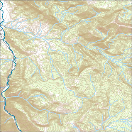
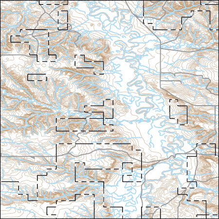
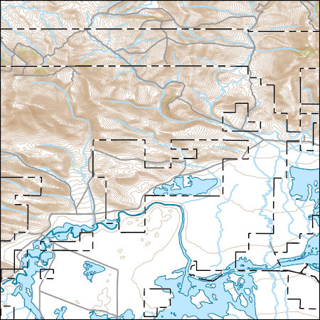
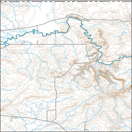
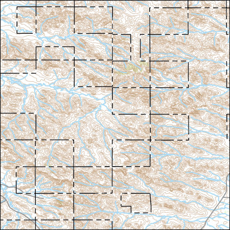
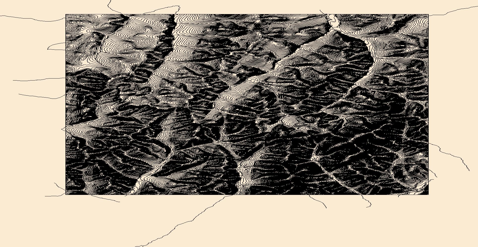
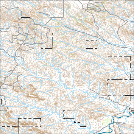
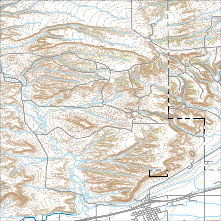
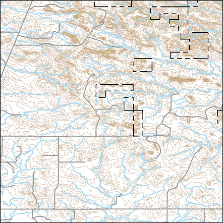
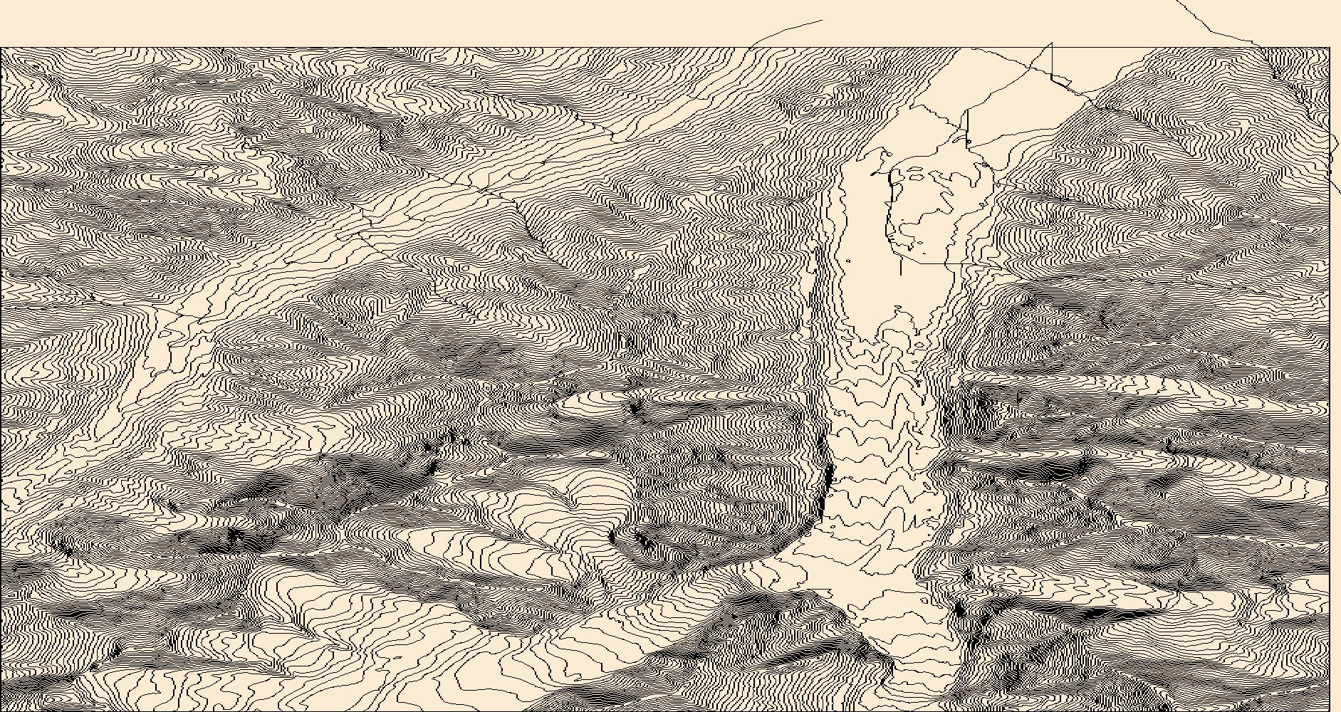
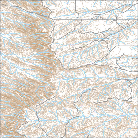
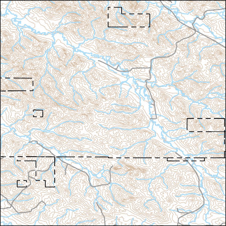
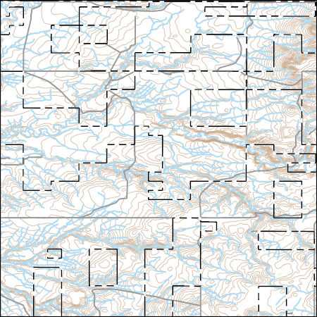
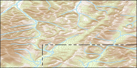
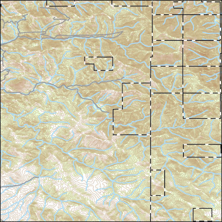
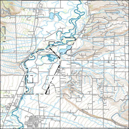
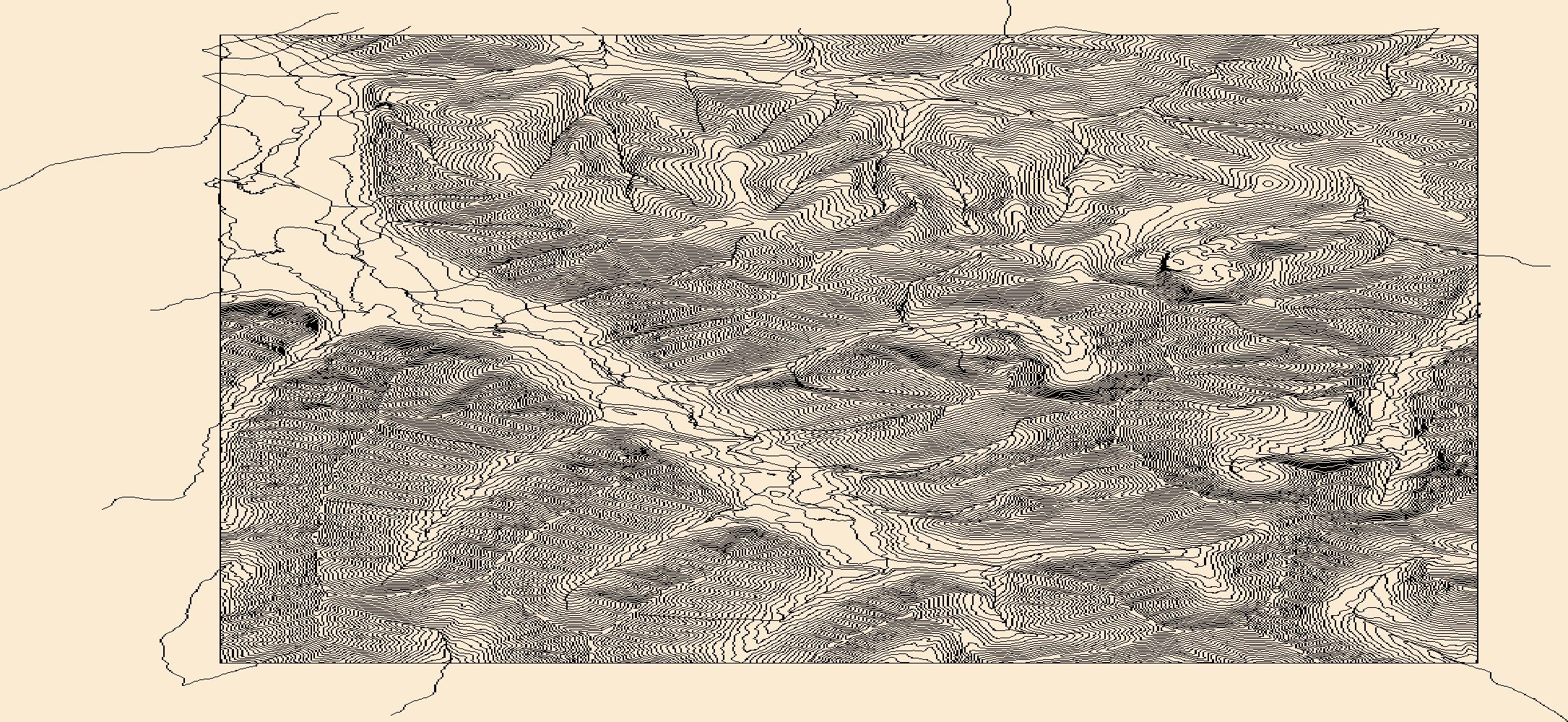
Layers of geospatial data include contours, boundaries, land cover, hydrography, roads, transportation, geographic names, structures, and other selected map features.
Types: Citation;
Tags: 7.5 x 7.5 minute,
7.5 x 7.5 minute,
Combined Vector,
Combined Vector,
Combined Vector, All tags...
Downloadable Data,
FileGDB 10.1,
FileGDB 10.1,
Gallatin County,
MT,
Montana,
Public Land Survey System,
US,
United States,
boundary,
contours,
geographic names,
hydrography,
structures,
transportation,
woodland, Fewer tags
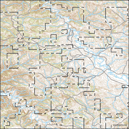
Layers of geospatial data include contours, boundaries, land cover, hydrography, roads, transportation, geographic names, structures, and other selected map features.
Types: Citation;
Tags: 7.5 x 7.5 minute,
7.5 x 7.5 minute,
Combined Vector,
Combined Vector,
Combined Vector, All tags...
Downloadable Data,
MT,
Montana,
Phillips County,
Public Land Survey System,
Shapefile,
Shapefile,
US,
United States,
boundary,
contours,
geographic names,
hydrography,
structures,
transportation,
woodland, Fewer tags
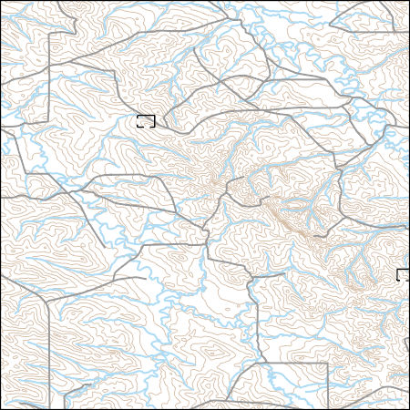
Layers of geospatial data include contours, boundaries, land cover, hydrography, roads, transportation, geographic names, structures, and other selected map features.
Types: Citation;
Tags: 7.5 x 7.5 minute,
7.5 x 7.5 minute,
Beaverhead County,
Combined Vector,
Combined Vector, All tags...
Combined Vector,
Downloadable Data,
FileGDB 10.1,
FileGDB 10.1,
MT,
Montana,
Public Land Survey System,
US,
United States,
boundary,
contours,
geographic names,
hydrography,
structures,
transportation,
woodland, Fewer tags
Layers of geospatial data include contours, boundaries, land cover, hydrography, roads, transportation, geographic names, structures, and other selected map features.
Types: Citation;
Tags: 7.5 x 7.5 minute,
7.5 x 7.5 minute,
Combined Vector,
Combined Vector,
Combined Vector, All tags...
Downloadable Data,
Glacier County,
MT,
Montana,
Public Land Survey System,
Shapefile,
Shapefile,
US,
United States,
boundary,
contours,
geographic names,
hydrography,
structures,
transportation,
woodland, Fewer tags
Layers of geospatial data include contours, boundaries, land cover, hydrography, roads, transportation, geographic names, structures, and other selected map features.
Types: Citation;
Tags: 7.5 x 7.5 minute,
7.5 x 7.5 minute,
Combined Vector,
Combined Vector,
Combined Vector, All tags...
Custer County,
Downloadable Data,
FileGDB 10.1,
FileGDB 10.1,
MT,
Montana,
Public Land Survey System,
US,
United States,
boundary,
contours,
geographic names,
hydrography,
structures,
transportation,
woodland, Fewer tags
Layers of geospatial data include contours, boundaries, land cover, hydrography, roads, transportation, geographic names, structures, and other selected map features.
Types: Citation;
Tags: 7.5 x 7.5 minute,
7.5 x 7.5 minute,
Combined Vector,
Combined Vector,
Combined Vector, All tags...
Downloadable Data,
Garfield County,
MT,
Montana,
Public Land Survey System,
Shapefile,
Shapefile,
US,
United States,
boundary,
contours,
geographic names,
hydrography,
structures,
transportation,
woodland, Fewer tags
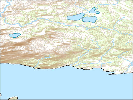
Layers of geospatial data include contours, boundaries, land cover, hydrography, roads, transportation, geographic names, structures, and other selected map features.
Types: Citation;
Tags: 7.5 x 7.5 minute,
7.5 x 7.5 minute,
AK,
Alaska,
Combined Vector, All tags...
Combined Vector,
Combined Vector,
Downloadable Data,
FileGDB 10.1,
FileGDB 10.1,
Lake and Peninsula County,
Public Land Survey System,
US,
United States,
boundary,
contours,
geographic names,
hydrography,
structures,
transportation,
woodland, Fewer tags
Layers of geospatial data include contours, boundaries, land cover, hydrography, roads, transportation, geographic names, structures, and other selected map features.
Types: Citation;
Tags: 7.5 x 7.5 minute,
7.5 x 7.5 minute,
AK,
Alaska,
Combined Vector, All tags...
Combined Vector,
Combined Vector,
Downloadable Data,
FileGDB 10.1,
FileGDB 10.1,
Public Land Survey System,
US,
United States,
Yukon-KoyukukCounty,
boundary,
contours,
geographic names,
hydrography,
structures,
transportation,
woodland, Fewer tags
Layers of geospatial data include contours, boundaries, land cover, hydrography, roads, transportation, geographic names, structures, and other selected map features.
Types: Citation;
Tags: 7.5 x 7.5 minute,
7.5 x 7.5 minute,
Combined Vector,
Combined Vector,
Combined Vector, All tags...
Custer County,
Downloadable Data,
MT,
Montana,
Public Land Survey System,
Shapefile,
Shapefile,
US,
United States,
boundary,
contours,
geographic names,
hydrography,
structures,
transportation,
woodland, Fewer tags
Layers of geospatial data include contours, boundaries, land cover, hydrography, roads, transportation, geographic names, structures, and other selected map features.
Types: Citation;
Tags: 7.5 x 7.5 minute,
7.5 x 7.5 minute,
Combined Vector,
Combined Vector,
Combined Vector, All tags...
Downloadable Data,
FileGDB 10.1,
FileGDB 10.1,
MT,
Montana,
Public Land Survey System,
Stillwater County,
US,
United States,
Yellowstone County,
boundary,
contours,
geographic names,
hydrography,
structures,
transportation,
woodland, Fewer tags
Layers of geospatial data include contours, boundaries, land cover, hydrography, roads, transportation, geographic names, structures, and other selected map features.
Types: Citation;
Tags: 7.5 x 7.5 minute,
7.5 x 7.5 minute,
Combined Vector,
Combined Vector,
Combined Vector, All tags...
Downloadable Data,
Fallon County,
MT,
Montana,
Public Land Survey System,
Shapefile,
Shapefile,
US,
United States,
boundary,
contours,
geographic names,
hydrography,
structures,
transportation,
woodland, Fewer tags
Layers of geospatial data include contours, boundaries, land cover, hydrography, roads, transportation, geographic names, structures, and other selected map features.
Types: Citation;
Tags: 7.5 x 7.5 minute,
7.5 x 7.5 minute,
AK,
Alaska,
Combined Vector, All tags...
Combined Vector,
Combined Vector,
Downloadable Data,
Public Land Survey System,
Shapefile,
Shapefile,
Southeast FairbanksCounty,
US,
United States,
boundary,
contours,
geographic names,
hydrography,
structures,
transportation,
woodland, Fewer tags
Layers of geospatial data include contours, boundaries, land cover, hydrography, roads, transportation, geographic names, structures, and other selected map features.
Types: Citation;
Tags: 7.5 x 7.5 minute,
7.5 x 7.5 minute,
Big Horn County,
Combined Vector,
Combined Vector, All tags...
Combined Vector,
Downloadable Data,
FileGDB 10.1,
FileGDB 10.1,
MT,
Montana,
Public Land Survey System,
US,
United States,
boundary,
contours,
geographic names,
hydrography,
structures,
transportation,
woodland, Fewer tags
Layers of geospatial data include contours, boundaries, land cover, hydrography, roads, transportation, geographic names, structures, and other selected map features.
Types: Citation;
Tags: 7.5 x 7.5 minute,
7.5 x 7.5 minute,
Combined Vector,
Combined Vector,
Combined Vector, All tags...
Custer County,
Downloadable Data,
FileGDB 10.1,
FileGDB 10.1,
MT,
Montana,
Powder River County,
Public Land Survey System,
US,
United States,
boundary,
contours,
geographic names,
hydrography,
structures,
transportation,
woodland, Fewer tags
Layers of geospatial data include contours, boundaries, land cover, hydrography, roads, transportation, geographic names, structures, and other selected map features.
Types: Citation;
Tags: 7.5 x 7.5 minute,
7.5 x 7.5 minute,
Blaine County,
Combined Vector,
Combined Vector, All tags...
Combined Vector,
Downloadable Data,
FileGDB 10.1,
FileGDB 10.1,
MT,
Montana,
Public Land Survey System,
US,
United States,
boundary,
contours,
geographic names,
hydrography,
structures,
transportation,
woodland, Fewer tags
Layers of geospatial data include contours, boundaries, land cover, hydrography, roads, transportation, geographic names, structures, and other selected map features.
Types: Citation;
Tags: 7.5 x 7.5 minute,
7.5 x 7.5 minute,
AK,
Alaska,
Combined Vector, All tags...
Combined Vector,
Combined Vector,
Downloadable Data,
FileGDB 10.1,
FileGDB 10.1,
Public Land Survey System,
US,
United States,
Yukon-Koyukuk County,
boundary,
contours,
geographic names,
hydrography,
structures,
transportation,
woodland, Fewer tags
Layers of geospatial data include contours, boundaries, land cover, hydrography, roads, transportation, geographic names, structures, and other selected map features.
Types: Citation;
Tags: 7.5 x 7.5 minute,
7.5 x 7.5 minute,
Cascade County,
Combined Vector,
Combined Vector, All tags...
Combined Vector,
Downloadable Data,
FileGDB 10.1,
FileGDB 10.1,
Lewis and Clark County,
MT,
Montana,
Public Land Survey System,
US,
United States,
boundary,
contours,
geographic names,
hydrography,
structures,
transportation,
woodland, Fewer tags
Layers of geospatial data include contours, boundaries, land cover, hydrography, roads, transportation, geographic names, structures, and other selected map features.
Types: Citation;
Tags: 7.5 x 7.5 minute,
7.5 x 7.5 minute,
Combined Vector,
Combined Vector,
Combined Vector, All tags...
Downloadable Data,
MT,
Montana,
Public Land Survey System,
Ravalli County,
Shapefile,
Shapefile,
US,
United States,
boundary,
contours,
geographic names,
hydrography,
structures,
transportation,
woodland, Fewer tags
Layers of geospatial data include contours, boundaries, land cover, hydrography, roads, transportation, geographic names, structures, and other selected map features.
Types: Citation;
Tags: 7.5 x 7.5 minute,
7.5 x 7.5 minute,
AK,
Alaska,
Combined Vector, All tags...
Combined Vector,
Combined Vector,
Downloadable Data,
Public Land Survey System,
Shapefile,
Shapefile,
US,
United States,
Yukon-KoyukukCounty,
boundary,
contours,
geographic names,
hydrography,
structures,
transportation,
woodland, Fewer tags
|
|

