Filters: Tags: portal (X)
26 results (29ms)|
Filters
Date Range
Extensions Types Contacts
Categories Tag Types Tag Schemes |
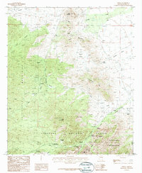
USGS Historical Quadrangle in GeoPDF.
This data set contains imagery from the National Agriculture Imagery Program (NAIP). The NAIP program is administered by USDA FSA and has been established to support two main FSA strategic goals centered on agricultural production. These are, increase stewardship of America's natural resources while enhancing the environment, and to ensure commodities are procured and distributed effectively and efficiently to increase food security. The NAIP program supports these goals by acquiring and providing ortho imagery that has been collected during the agricultural growing season in the U.S. The NAIP ortho imagery is tailored to meet FSA requirements and is a fundamental tool used to support FSA farm and conservation programs....
The rank-abundance distribution (RAD) represents the manner in which species divide resources. Community-specific division rules that determine resource allocation among species, and thereby the shape of the RAD, have been hypothesized to account for observed stability of local species richness over time. While the shape of the RAD has been well studied, the temporal dynamics of this distribution have received much less attention. Here we assess changes in the shape of the RAD through time in a desert rodent community in Arizona (USA). Because energy use may be more appropriate for studying resource division than abundance, we also evaluate an energetic equivalent of the RAD. Significant, directional trends in the...
Categories: Publication;
Types: Citation,
Journal Citation;
Tags: Arizona,
Ecology,
Portal,
USA,
community properties,
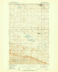
USGS Historical Quadrangle in GeoPDF.
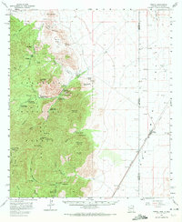
USGS Historical Quadrangle in GeoPDF.
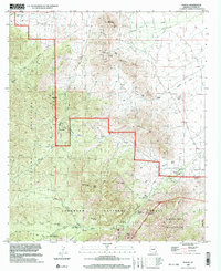
USGS Historical Quadrangle in GeoPDF.
|

|
