Filters: Tags: St. George (X)
24 results (8ms)|
Filters
Date Range
Contacts
Tag Types Tag Schemes |

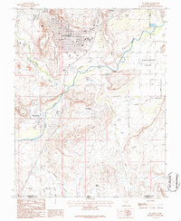
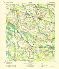
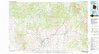
USGS Historical Quadrangle in GeoPDF.
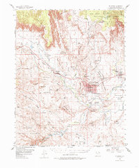
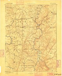
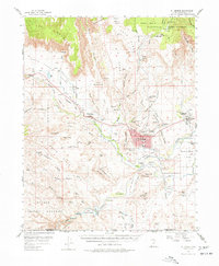
USGS Historical Quadrangle in GeoPDF.
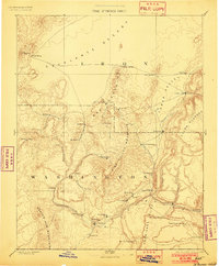
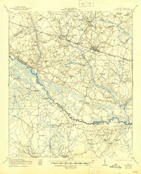
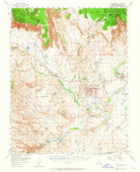
USGS Historical Quadrangle in GeoPDF.
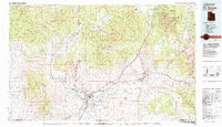
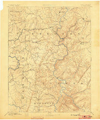
USGS Historical Quadrangle in GeoPDF.
USGS Historical Quadrangle in GeoPDF.
USGS Historical Quadrangle in GeoPDF.

USGS Historical Quadrangle in GeoPDF.
USGS Historical Quadrangle in GeoPDF.
USGS Historical Quadrangle in GeoPDF.
USGS Historical Quadrangle in GeoPDF.
USGS Historical Quadrangle in GeoPDF.

USGS Historical Quadrangle in GeoPDF.
USGS Historical Quadrangle in GeoPDF.
USGS Historical Quadrangle in GeoPDF.
To better understand the possible risks posed to shallow groundwater resources by geologic carbon sequestration (GCS), a multi-scale numerical modeling approach was invoked using the TOUGHREACT code from Lawrence Berkeley National Laboratory. The code solves coupled equations representing conservation of mass and energy on a finite difference grid to simulate multiphase, multicomponent, non-isothermal heat and mass transport in porous media. Two different two-dimensional cross-section modeling domains were constructed to improve understanding of groundwater flow and contaminant transport processes at a field site in soutwestern Utah. The site represents a natural analogue for leakage from a GCS site because water...

USGS Historical Quadrangle in GeoPDF.
USGS Historical Quadrangle in GeoPDF.
USGS Historical Quadrangle in GeoPDF.
USGS Historical Quadrangle in GeoPDF.
USGS Historical Quadrangle in GeoPDF.
|

|
