Filters: Tags: Santa Cruz County (X)
639 results (145ms)|
Filters
Date Range
Extensions Types Contacts
Categories Tag Types
|
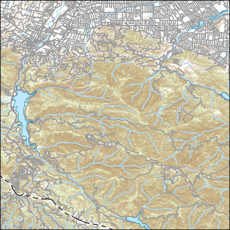
Layers of geospatial data include contours, boundaries, land cover, hydrography, roads, transportation, geographic names, structures, and other selected map features.
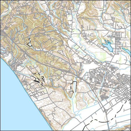
Layers of geospatial data include contours, boundaries, land cover, hydrography, roads, transportation, geographic names, structures, and other selected map features.
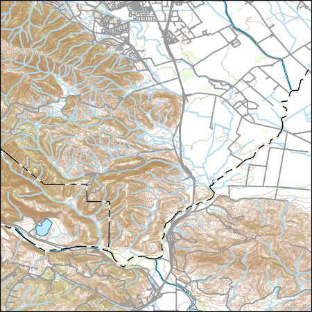
Layers of geospatial data include contours, boundaries, land cover, hydrography, roads, transportation, geographic names, structures, and other selected map features.
This data contains model-derived total water levels (in meters) for the sea-level rise (SLR) and storm condition indicated. The Coastal Storm Modeling System (CoSMoS) makes detailed predictions (meter-scale) over large geographic scales (100s of kilometers) of storm-induced coastal flooding and erosion for both current and future sea-level rise (SLR) scenarios. Projections for CoSMoS v3.1 in Central California include flood-hazard information for the coast from Pt. Conception to the Golden Gate bridge. Outputs include SLR scenarios of 0.0, 0.25, 0.5, 0.75, 1.0, 1.5, 2.0, 2.5, 3.0, and 5.0 meters; storm scenarios include background conditions (astronomic spring tide and average atmospheric conditions) and simulated...
Categories: Data;
Types: Map Service,
OGC WFS Layer,
OGC WMS Layer,
OGC WMS Service;
Tags: Beaches,
CMHRP,
Central California,
Central California Coast,
Climate change,
This data contains maximum model-derived ocean currents (in meters per second) for the sea-level rise (SLR) and storm condition indicated. The Coastal Storm Modeling System (CoSMoS) makes detailed predictions (meter-scale) over large geographic scales (100s of kilometers) of storm-induced coastal flooding and erosion for both current and future sea-level rise (SLR) scenarios. Projections for CoSMoS v3.1 in Central California include flood-hazard information for the coast from Pt. Conception to the Golden Gate bridge. Outputs include SLR scenarios of 0.0, 0.25, 0.5, 0.75, 1.0, 1.5, 2.0, 2.5, 3.0, and 5.0 meters; storm scenarios include background conditions (astronomic spring tide and average atmospheric conditions)...
Categories: Data;
Types: Map Service,
OGC WFS Layer,
OGC WMS Layer,
OGC WMS Service;
Tags: Beaches,
CMHRP,
Central California,
Central California Coast,
Climate change,
This data contains maximum model-derived significant wave height (in meters) for the sea-level rise (SLR) and storm condition indicated. The Coastal Storm Modeling System (CoSMoS) makes detailed predictions (meter-scale) over large geographic scales (100s of kilometers) of storm-induced coastal flooding and erosion for both current and future sea-level rise (SLR) scenarios. Projections for CoSMoS v3.1 in Central California include flood-hazard information for the coast from Pt. Conception to the Golden Gate bridge. Outputs include SLR scenarios of 0.0, 0.25, 0.5, 0.75, 1.0, 1.5, 2.0, 2.5, 3.0, and 5.0 meters; storm scenarios include background conditions (astronomic spring tide and average atmospheric conditions)...
Categories: Data;
Types: Map Service,
OGC WFS Layer,
OGC WMS Layer,
OGC WMS Service;
Tags: Beaches,
CMHRP,
Central California,
Central California Coast,
Climate change,
Heinrichs Geoexploration Co. Maps: World's Fair Mine Claim Map; 1 in. to 500 feet; 22 x 27 in.
ADMMR map collection: Bonanza Mine 235 Level; 1 in. to 40 feet; 28 x 15 in.
ADMMR map collection: Long Contact and Alto Tunnels; 1 in. to 100 feet; 34 x 11 in.
ADMMR map collection: Red Mountain Mine Vertical Longitudinal Section; 1 in. to 200 feet; 10 x 12 in.
ADMMR map collection: Margarita Project, Claim Map; 1 in. to 1000 feet; 20 x 26 in.
ADMMR map collection: Margarita Group, Claim Map; 1 in. to 1000 feet; 18 x 17 in.
ADMMR map collection: Assay Map of World's Fair Mine, 4th Level; 1 in. to 20 feet; 16 x 35 in.
ADMMR map collection: Claim Map of the World's Fair Project; 1 in. to 200 feet; 25 x 28 in.
ADMMR map collection: Multi-Composite of the World's Fair Project; 1 in. to 200 feet; 36 x 28 in.
ADMMR map collection: Margarita Group, Claim Map; 1 in. to 1000 feet; 22 x 17 in.
ADMMR map collection: Geologic Map of Austerlitz Mine Workings; 1 in. to 50 feet; 14 x 12 in.
ADMMR map collection: Hardshell Mine Underground Workings; 1 in. to 20 feet; 36 x 18 in.
ADMMR map collection: Bonanza Progressive Map 222 Drift; 1 in. to 40 feet; 11 x 18 in.
ADMMR map collection: Bonanza Section Thru Diamond Drill Hole 15 with Information Penciled In; 1 in. to 40 feet; 11 x 8 in.
|

|
