Filters: Tags: Rehoboth (X)
14 results (9ms)|
Filters
Date Range
Extensions Types Contacts
Categories Tag Types Tag Schemes |
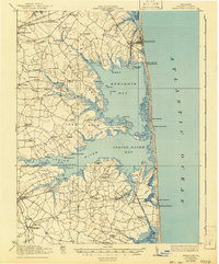
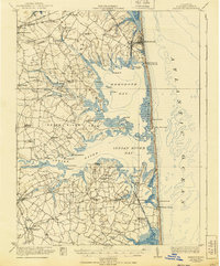
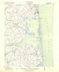
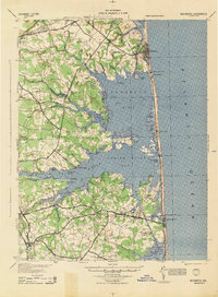
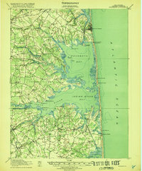
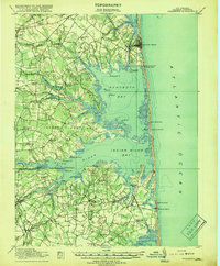
USGS Historical Quadrangle in GeoPDF.
These data are a qualitatively derived interpretive polygon shapefile defining surficial sediment type and distribution, and geomorphology, for nearly 1,400 square kilometers of sea floor on the inner-continental shelf from Fenwick Island, Maryland to Fisherman’s Island, Virginia, USA. These data are classified according to Barnhardt and others (1998) bottom-type classification system, which was modified to highlight changes in secondary sediment-types such as mud and gravel across this primarily sandy shelf. Most of the geophysical and sample data used to create this interpretive layer were collected as part of the Linking Coastal Processes and Vulnerability: Assateague Island Regional Study project (GS2-2C), supported...
Categories: Data;
Types: Downloadable,
Map Service,
OGC WFS Layer,
OGC WMS Layer,
Shapefile;
Tags: Assateague Island,
Assateague Island National Seashore,
Assawoman Island,
Atlantic Ocean,
Backscatter,
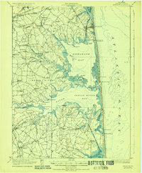
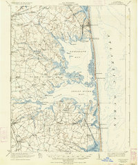
USGS Historical Quadrangle in GeoPDF.
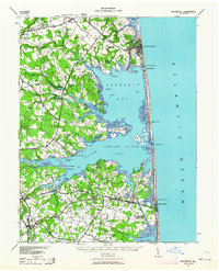
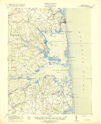
USGS Historical Quadrangle in GeoPDF.
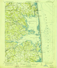
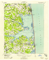
USGS Historical Quadrangle in GeoPDF.
USGS Historical Quadrangle in GeoPDF.
USGS Historical Quadrangle in GeoPDF.
USGS Historical Quadrangle in GeoPDF.
USGS Historical Quadrangle in GeoPDF.
The 1:100,000-scale geologic map database of the South Boston 30' × 60' quadrangle, Virginia and North Carolina, provides geologic information for the Piedmont along the I-85 and U.S. Route 58 corridors and in the Roanoke River watershed, which includes the John H. Kerr Reservoir and Lake Gaston. The Raleigh terrane (located on the eastern side of the map) contains Neoproterozoic to early Paleozoic(?) polydeformed, amphibolite-facies gneisses and schists. The Carolina slate belt of the Carolina terrane (located in the central part of the map) contains Neoproterozoic metavolcanic and metasedimentary rocks at greenschist facies. Although locally complicated, the slate-belt structure mapped across the South Boston...
USGS Historical Quadrangle in GeoPDF.
USGS Historical Quadrangle in GeoPDF.
USGS Historical Quadrangle in GeoPDF.
USGS Historical Quadrangle in GeoPDF.
|

|
