Filters: Tags: Pasco County (X)
46 results (6ms)|
Filters
Contacts
(Less)
|
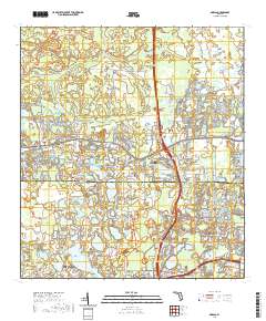
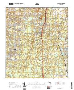
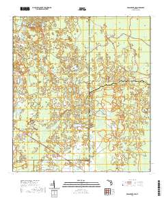
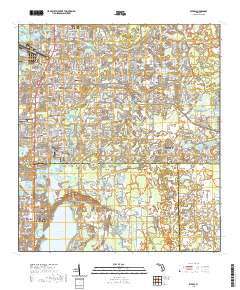
Layered geospatial PDF 7.5 Minute Quadrangle Map. Layers of geospatial data include orthoimagery, roads, grids, geographic names, elevation contours, hydrography, and other selected map features. This map is derived from GIS (geospatial information system) data. It represents a repackaging of GIS data in traditional map form, not creation of new information. The geospatial data in this map are from selected National Map data holdings and other government sources.
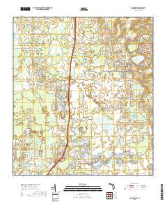
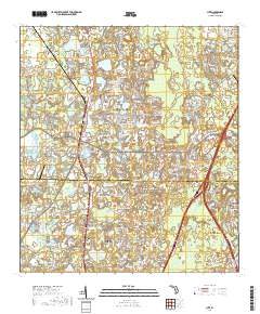
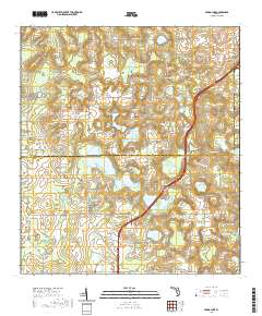
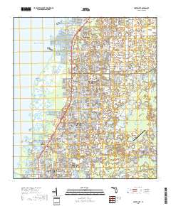
Layered geospatial PDF 7.5 Minute Quadrangle Map. Layers of geospatial data include orthoimagery, roads, grids, geographic names, elevation contours, hydrography, and other selected map features. This map is derived from GIS (geospatial information system) data. It represents a repackaging of GIS data in traditional map form, not creation of new information. The geospatial data in this map are from selected National Map data holdings and other government sources.
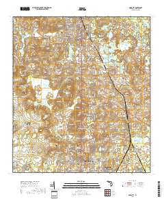
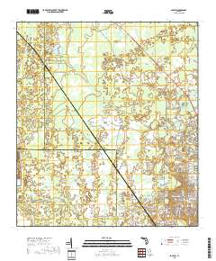
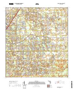
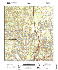
Layered geospatial PDF 7.5 Minute Quadrangle Map. Layers of geospatial data include orthoimagery, roads, grids, geographic names, elevation contours, hydrography, and other selected map features. This map is derived from GIS (geospatial information system) data. It represents a repackaging of GIS data in traditional map form, not creation of new information. The geospatial data in this map are from selected National Map data holdings and other government sources.
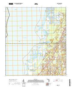
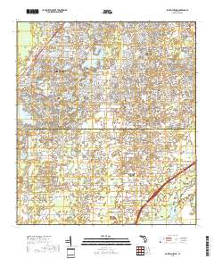
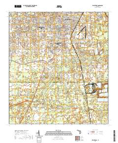
Layered geospatial PDF 7.5 Minute Quadrangle Map. Layers of geospatial data include orthoimagery, roads, grids, geographic names, elevation contours, hydrography, and other selected map features. This map is derived from GIS (geospatial information system) data. It represents a repackaging of GIS data in traditional map form, not creation of new information. The geospatial data in this map are from selected National Map data holdings and other government sources.
The GIS shapefile and summary tables provide irrigated agricultural land-use for Citrus, Hernando, Pasco, and Sumter Counties, Florida through a cooperative project between the U.S Geological Survey (USGS) and the Florida Department of Agriculture and Consumer Services (FDACS), Office of Agricultural Water Policy. Information provided in the shapefile includes the location of irrigated land field verified for 2019, crop type, irrigation system type, and primary water source used in Citrus, Hernando, Pasco, and Sumter Counties, Florida. A map image of the shapefile is provided in the attachment.
A table summarizing the irrigated acreage by crop type and irrigation system was compiled for January to December 2019 for Pasco County, Florida. The irrigated acreage totals were derived from analyses of aerial imagery and data were field verified in 2019. In addition, the table provides acreage totals by crop type published by the U.S. Department of Commerce for 1982 and the U.S. Department of Agriculture for years between 1987 and 2017.
Categories: Data;
Tags: Crop type,
Florida,
Florida Department of Agriculture and Consumer Service,
Groundwater,
Irrigation type,
The data set consists of monthly sums of 30-minute evapotranspiration measurements made at the USGS Starkey pasture climate station beginning May 1, 2003 and ending April 30, 2016. Annual evapotranspiration rates corrected to a near-surface energy-budget for the 12 calendar years of record at this site (2004-2015) varied from 718 millimeters (2007) to 903 millimeters (2010). The eddy-covariance method was used, with high-frequency sensors installed above the pasture to measure sensible and latent heat fluxes. Ancillary meteorological data are also included in the data set: rainfall and ground-water levels. Data were collected at 30-minute resolution, with evapotranspiration corrected to the near-surface energy-budget...
Categories: Data;
Types: Citation;
Tags: Florida,
Pasco County,
evapotranspiration,
latent heat flux,
net radiation,
Layered geospatial PDF 7.5 Minute Quadrangle Map. Layers of geospatial data include orthoimagery, roads, grids, geographic names, elevation contours, hydrography, and other selected map features. This map is derived from GIS (geospatial information system) data. It represents a repackaging of GIS data in traditional map form, not creation of new information. The geospatial data in this map are from selected National Map data holdings and other government sources.
Layered geospatial PDF 7.5 Minute Quadrangle Map. Layers of geospatial data include orthoimagery, roads, grids, geographic names, elevation contours, hydrography, and other selected map features. This map is derived from GIS (geospatial information system) data. It represents a repackaging of GIS data in traditional map form, not creation of new information. The geospatial data in this map are from selected National Map data holdings and other government sources.
Layered geospatial PDF 7.5 Minute Quadrangle Map. Layers of geospatial data include orthoimagery, roads, grids, geographic names, elevation contours, hydrography, and other selected map features. This map is derived from GIS (geospatial information system) data. It represents a repackaging of GIS data in traditional map form, not creation of new information. The geospatial data in this map are from selected National Map data holdings and other government sources.

Layered geospatial PDF 7.5 Minute Quadrangle Map. Layers of geospatial data include orthoimagery, roads, grids, geographic names, elevation contours, hydrography, and other selected map features. This map is derived from GIS (geospatial information system) data. It represents a repackaging of GIS data in traditional map form, not creation of new information. The geospatial data in this map are from selected National Map data holdings and other government sources.
Layered geospatial PDF 7.5 Minute Quadrangle Map. Layers of geospatial data include orthoimagery, roads, grids, geographic names, elevation contours, hydrography, and other selected map features. This map is derived from GIS (geospatial information system) data. It represents a repackaging of GIS data in traditional map form, not creation of new information. The geospatial data in this map are from selected National Map data holdings and other government sources.
The data set consists of 30-minute evapotranspiration measurements made at the USGS Starkey pasture climate station beginning January 1, 2010 and ending April 30, 2016. Annual evapotranspiration rates corrected to a near-surface energy-budget for the 12 calendar years of record at this site (2004-2015) varied from 718 millimeters (2007) to 903 millimeters (2010). The eddy-covariance method was used, with high-frequency sensors installed above the pasture to measure sensible and latent heat fluxes. Ancillary meteorological data are also included in the data set: net radiation, soil temperature and moisture, air temperature, relative humidity, wind speed and direction, rainfall, and ground-water levels. Data were...
Categories: Data;
Types: Citation;
Tags: Florida,
Pasco County,
evapotranspiration,
latent heat flux,
net radiation,
Layered geospatial PDF 7.5 Minute Quadrangle Map. Layers of geospatial data include orthoimagery, roads, grids, geographic names, elevation contours, hydrography, and other selected map features. This map is derived from GIS (geospatial information system) data. It represents a repackaging of GIS data in traditional map form, not creation of new information. The geospatial data in this map are from selected National Map data holdings and other government sources.
Layered geospatial PDF 7.5 Minute Quadrangle Map. Layers of geospatial data include orthoimagery, roads, grids, geographic names, elevation contours, hydrography, and other selected map features. This map is derived from GIS (geospatial information system) data. It represents a repackaging of GIS data in traditional map form, not creation of new information. The geospatial data in this map are from selected National Map data holdings and other government sources.
Layered geospatial PDF 7.5 Minute Quadrangle Map. Layers of geospatial data include orthoimagery, roads, grids, geographic names, elevation contours, hydrography, and other selected map features. This map is derived from GIS (geospatial information system) data. It represents a repackaging of GIS data in traditional map form, not creation of new information. The geospatial data in this map are from selected National Map data holdings and other government sources.
Layered geospatial PDF 7.5 Minute Quadrangle Map. Layers of geospatial data include orthoimagery, roads, grids, geographic names, elevation contours, hydrography, and other selected map features. This map is derived from GIS (geospatial information system) data. It represents a repackaging of GIS data in traditional map form, not creation of new information. The geospatial data in this map are from selected National Map data holdings and other government sources.
Layered geospatial PDF 7.5 Minute Quadrangle Map. Layers of geospatial data include orthoimagery, roads, grids, geographic names, elevation contours, hydrography, and other selected map features. This map is derived from GIS (geospatial information system) data. It represents a repackaging of GIS data in traditional map form, not creation of new information. The geospatial data in this map are from selected National Map data holdings and other government sources.
Layered geospatial PDF 7.5 Minute Quadrangle Map. Layers of geospatial data include orthoimagery, roads, grids, geographic names, elevation contours, hydrography, and other selected map features. This map is derived from GIS (geospatial information system) data. It represents a repackaging of GIS data in traditional map form, not creation of new information. The geospatial data in this map are from selected National Map data holdings and other government sources.
Layered geospatial PDF 7.5 Minute Quadrangle Map. Layers of geospatial data include orthoimagery, roads, grids, geographic names, elevation contours, hydrography, and other selected map features. This map is derived from GIS (geospatial information system) data. It represents a repackaging of GIS data in traditional map form, not creation of new information. The geospatial data in this map are from selected National Map data holdings and other government sources.
|

|
