Filters: Tags: New River (X) > partyWithName: U.S. Geological Survey (X)
10 results (33ms)|
Filters
Date Range
Types Contacts Tag Types Tag Schemes |
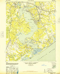
USGS Historical Quadrangle in GeoPDF.
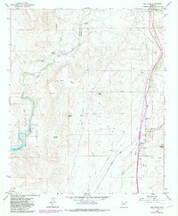
USGS Historical Quadrangle in GeoPDF.
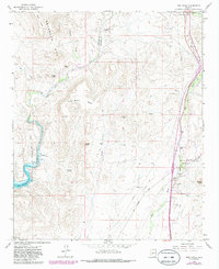
USGS Historical Quadrangle in GeoPDF.
USGS Historical Quadrangle in GeoPDF.
The mapped area boundary, flood inundation extents, and depth rasters were created to provide an estimated extent of flood inundation along the New River within the community of Hinton, West Virginia. These geospatial data include the following items: 1. newriver_bnd; shapefile containing the polygon showing the mapped area boundary for the New River flood maps, 2. newriver_hwm; shapefile containing high-water mark points, 3. polygon_newriver_hwm; shapefile containing mapped extent of flood inundation, derived from the water-surface elevation surveyed at high-water marks, 4. depth_hwm; raster file for the flood depths derived from the water-surface elevation surveyed at high-water marks, 5. polygon_newriver_dem;...
USGS Historical Quadrangle in GeoPDF.
USGS Historical Quadrangle in GeoPDF.
USGS Historical Quadrangle in GeoPDF.

USGS Historical Quadrangle in GeoPDF.

USGS Historical Quadrangle in GeoPDF.
|

|
