Filters: Tags: Marseilles (X)
35 results (68ms)|
Filters
Contacts
(Less)
|
The Fluvial Egg Drift Simulator (FluEgg) estimates bighead, silver, and grass carp egg and larval drift in rivers using species-specific egg developmental data combined with user-supplied hydraulic inputs (Garcia and others, 2013; Domanski, 2020). This data release contains results from 240 FluEgg 4.1.0 simulations of bighead carp eggs in the Illinois River under steady flow conditions. The data release also contains the hydraulic inputs used in the FluEgg simulations and a KML file of the centerline that represents the model domain. FluEgg simulations were run for all combinations of four spawning locations, six water temperatures, and ten steady flow conditions. Each simulation included 5,000 bighead carp eggs,...
Using high-resolution sonar technologies with geographic information systems (GIS) and object based image analysis, benthic characteristics of the Illinois River have been interpreted to support Asian carp research, monitoring, and control. The study plan consisted of data collection and analysis of the Brandon, Dresden, Starved Rock, Marseilles, Peoria, La Grange, and Alton reaches of the Illinois River. Reaches with larger aquatic areas (Peoria, La Grange and Alton), had areas prioritized for data collection and analysis.
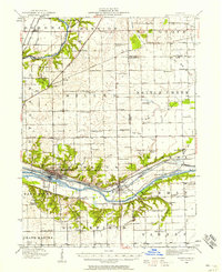
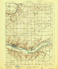
USGS Historical Quadrangle in GeoPDF.
This data set contains imagery from the National Agriculture Imagery Program (NAIP). The NAIP program is administered by USDA FSA and has been established to support two main FSA strategic goals centered on agricultural production. These are, increase stewardship of America's natural resources while enhancing the environment, and to ensure commodities are procured and distributed effectively and efficiently to increase food security. The NAIP program supports these goals by acquiring and providing ortho imagery that has been collected during the agricultural growing season in the U.S. The NAIP ortho imagery is tailored to meet FSA requirements and is a fundamental tool used to support FSA farm and conservation programs....
This data set contains imagery from the National Agriculture Imagery Program (NAIP). The NAIP program is administered by USDA FSA and has been established to support two main FSA strategic goals centered on agricultural production. These are, increase stewardship of America's natural resources while enhancing the environment, and to ensure commodities are procured and distributed effectively and efficiently to increase food security. The NAIP program supports these goals by acquiring and providing ortho imagery that has been collected during the agricultural growing season in the U.S. The NAIP ortho imagery is tailored to meet FSA requirements and is a fundamental tool used to support FSA farm and conservation programs....
This data set contains imagery from the National Agriculture Imagery Program (NAIP). The NAIP program is administered by USDA FSA and has been established to support two main FSA strategic goals centered on agricultural production. These are, increase stewardship of America's natural resources while enhancing the environment, and to ensure commodities are procured and distributed effectively and efficiently to increase food security. The NAIP program supports these goals by acquiring and providing ortho imagery that has been collected during the agricultural growing season in the U.S. The NAIP ortho imagery is tailored to meet FSA requirements and is a fundamental tool used to support FSA farm and conservation programs....
Separate data for floodplain elevation and bathymetry were collected on the Upper Mississippi River System (UMRS) by the US Army Corps of Engineers (USACE), Upper Mississippi River Restoration (UMRR) Program. While many information needs can be met by using these data separately, in many cases seamless elevation data across the river and its floodplain are needed. This seamless elevation surface was generated by merging lidar (i.e., floodplain elevation) and bathymetry data. Merging the data required special processing in the areas of transition between the two sources of data.
Categories: Data;
Types: Citation,
Downloadable,
GeoTIFF,
Map Service,
Raster;
Tags: Illinois,
Illinois River,
Marseilles,
Upper Mississippi River System,
bathymetry,
Using high-resolution sonar technologies with geographic information systems (GIS) and object based image analysis, benthic characteristics of the Illinois River have been interpreted to support Asian carp research, monitoring, and control. The study plan consisted of data collection and analysis of the Brandon, Dresden, Starved Rock, Marseilles, Peoria, La Grange, and Alton reaches of the Illinois River. Reaches with larger aquatic areas (Peoria, La Grange, and Alton), had areas prioritized for data collection and analysis.
Using high-resolution sonar technologies with geographic information systems (GIS) and object based image analysis, benthic characteristics of the Illinois River have been interpreted to support Asian carp research, monitoring, and control. The study plan consisted of data collection and analysis of the Brandon, Dresden, Starved Rock, Marseilles, Peoria, La Grange, and Alton reaches of the Illinois River. Reaches with larger aquatic areas (Peoria, La Grange, and Alton), had areas prioritized for data collection and analysis.
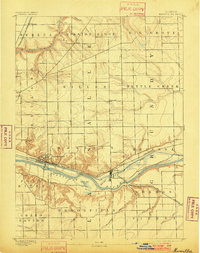
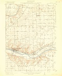
USGS Historical Quadrangle in GeoPDF.
Using high-resolution sonar technologies with geographic information systems (GIS) and object based image analysis, benthic characteristics of the Illinois River have been interpreted to support Asian carp research, monitoring, and control. The study plan consisted of data collection and analysis of the Brandon, Dresden, Starved Rock, Marseilles, Peoria, La Grange, and Alton reaches of the Illinois River. Reaches with larger aquatic areas (Peoria, La Grange, and Alton), had areas prioritized for data collection and analysis.
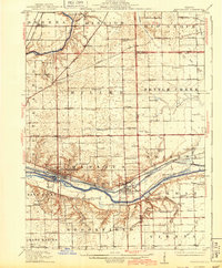
USGS Historical Quadrangle in GeoPDF.
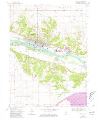
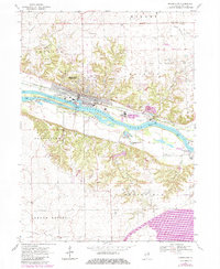
USGS Historical Quadrangle in GeoPDF.
This data set contains imagery from the National Agriculture Imagery Program (NAIP). The NAIP program is administered by USDA FSA and has been established to support two main FSA strategic goals centered on agricultural production. These are, increase stewardship of America's natural resources while enhancing the environment, and to ensure commodities are procured and distributed effectively and efficiently to increase food security. The NAIP program supports these goals by acquiring and providing ortho imagery that has been collected during the agricultural growing season in the U.S. The NAIP ortho imagery is tailored to meet FSA requirements and is a fundamental tool used to support FSA farm and conservation programs....
This data set contains imagery from the National Agriculture Imagery Program (NAIP). The NAIP program is administered by USDA FSA and has been established to support two main FSA strategic goals centered on agricultural production. These are, increase stewardship of America's natural resources while enhancing the environment, and to ensure commodities are procured and distributed effectively and efficiently to increase food security. The NAIP program supports these goals by acquiring and providing ortho imagery that has been collected during the agricultural growing season in the U.S. The NAIP ortho imagery is tailored to meet FSA requirements and is a fundamental tool used to support FSA farm and conservation programs....
USGS Historical Quadrangle in GeoPDF.
USGS Historical Quadrangle in GeoPDF.
This data set contains imagery from the National Agriculture Imagery Program (NAIP). The NAIP program is administered by USDA FSA and has been established to support two main FSA strategic goals centered on agricultural production. These are, increase stewardship of America's natural resources while enhancing the environment, and to ensure commodities are procured and distributed effectively and efficiently to increase food security. The NAIP program supports these goals by acquiring and providing ortho imagery that has been collected during the agricultural growing season in the U.S. The NAIP ortho imagery is tailored to meet FSA requirements and is a fundamental tool used to support FSA farm and conservation programs....
USGS Historical Quadrangle in GeoPDF.
Using high-resolution sonar technologies with geographic information systems (GIS) and object based image analysis, benthic characteristics of the Illinois River have been interpreted to support Asian carp research, monitoring, and control. The study plan consisted of data collection and analysis of the Brandon, Dresden, Starved Rock, Marseilles, Peoria, La Grange, and Alton reaches of the Illinois River. Reaches with larger aquatic areas (Peoria, La Grange, and Alton), had areas prioritized for data collection and analysis.
|

|
