Filters
Date Range
Extensions
Types
Contacts
Categories
Tag Types
Tag Schemes
|
Geospatial data is comprised of government boundaries.
Tags: Boundaries,
County or Equivalent,
DE,
Delaware,
Downloadable Data, All tags...
GeoPackage,
Incorporated Place,
Jurisdictional,
Kent,
Minor Civil Division,
National Boundary Dataset (NBD),
National Boundary Dataset (NBD),
Native American Area,
New Castle,
Open Geospatial Consortium GeoPackage 1.2,
PLSS First Division,
PLSS Special Survey,
PLSS Township,
Public Land Survey System,
Reserve,
State,
State,
State or Territory,
Sussex,
U.S. National Grid,
US,
Unincorporated Place,
United States,
boundaries,
boundary,
cadastral surveys,
geographic names,
land ownership,
land use maps,
legal land descriptions,
political and administrative boundaries,
zoning maps, Fewer tags
Geospatial data is comprised of government boundaries.
Tags: Boundaries,
Carson City,
Churchill,
Clark,
County or Equivalent, All tags...
Douglas,
Downloadable Data,
Elko,
Esmeralda,
Eureka,
GeoPackage,
Humboldt,
Incorporated Place,
Jurisdictional,
Lander,
Lincoln,
Lyon,
Mineral,
Minor Civil Division,
NV,
National Boundary Dataset (NBD),
National Boundary Dataset (NBD),
Native American Area,
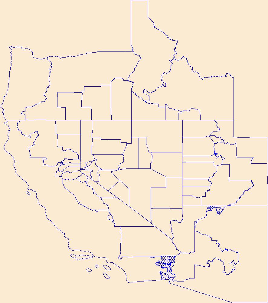
Nevada,
Nye,
Open Geospatial Consortium GeoPackage 1.2,
PLSS First Division,
PLSS Special Survey,
PLSS Township,
Pershing,
Public Land Survey System,
Reserve,
State,
State,
State or Territory,
Storey,
U.S. National Grid,
US,
Unincorporated Place,
United States,
Washoe,
White Pine,
boundaries,
boundary,
cadastral surveys,
geographic names,
land ownership,
land use maps,
legal land descriptions,
political and administrative boundaries,
zoning maps, Fewer tags
Geospatial data is comprised of government boundaries.
Types: Citation;
Tags: Atlantic,
Bergen,
Boundaries,
Burlington,
Camden, All tags...
Cape May,
County or Equivalent,
Cumberland,
Downloadable Data,
Esri File GeoDatabase 10,
Essex,
FileGDB,
Gloucester,
Hudson,
Hunterdon,
Incorporated Place,
Jurisdictional,
Mercer,
Middlesex,
Minor Civil Division,
Monmouth,
Morris,
NJ,
National Boundary Dataset (NBD),
National Boundary Dataset (NBD),
Native American Area,
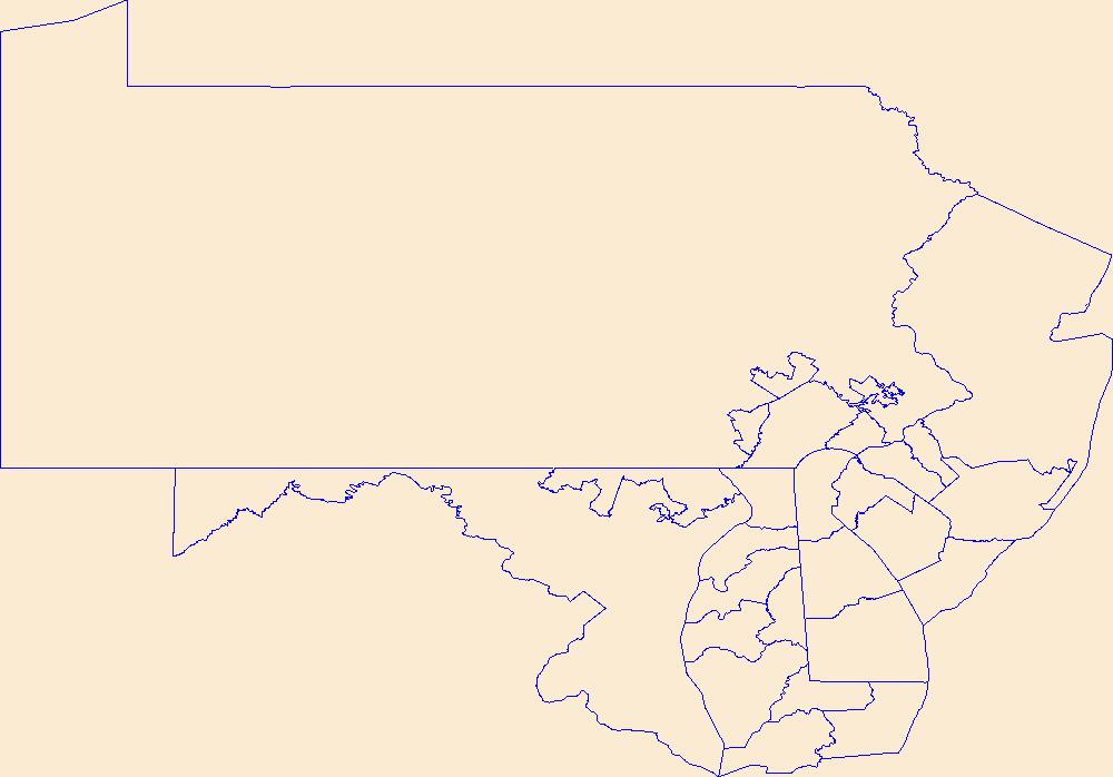
New Jersey,
Ocean,
PLSS First Division,
PLSS Special Survey,
PLSS Township,
Passaic,
Public Land Survey System,
Reserve,
Salem,
Somerset,
State,
State,
State or Territory,
Sussex,
U.S. National Grid,
US,
Unincorporated Place,
Union,
United States,
Warren,
boundaries,
boundary,
cadastral surveys,
geographic names,
land ownership,
land use maps,
legal land descriptions,
political and administrative boundaries,
zoning maps, Fewer tags
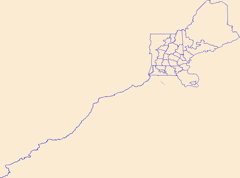
Geospatial data is comprised of government boundaries.
Tags: Accomack,
Albemarle,
Alexandria,
Alleghany,
Amelia, All tags...
Amherst,
Appomattox,
Arlington,
Augusta,
Bath,
Bedford,
Bland,
Botetourt,
Boundaries,
Bristol,
Brunswick,
Buchanan,
Buckingham,
Buena Vista,
Campbell,
Caroline,
Carroll,
Charles City,
Charlotte,
Charlottesville,
Chesapeake,
Chesterfield,
Clarke,
Colonial Heights,
County or Equivalent,
Covington,
Craig,
Culpeper,
Cumberland,
Danville,
Dickenson,
Dinwiddie,
Downloadable Data,
Emporia,
Essex,
Fairfax,
Falls Church,
Fauquier,
Floyd,
Fluvanna,
Franklin,
Frederick,
Fredericksburg,
Galax,
GeoPackage,
Giles,
Gloucester,
Goochland,
Grayson,
Greene,
Greensville,
Halifax,
Hampton,
Hanover,
Harrisonburg,
Henrico,
Henry,
Highland,
Hopewell,
Incorporated Place,
Isle of Wight,
James City,
Jurisdictional,
King George,
King William,
King and Queen,
Lancaster,
Lee,
Lexington,
Loudoun,
Louisa,
Lunenburg,
Lynchburg,
Madison,
Manassas,
Manassas Park,
Martinsville,
Mathews,
Mecklenburg,
Middlesex,
Minor Civil Division,
Montgomery,
National Boundary Dataset (NBD),
National Boundary Dataset (NBD),
Native American Area,
Nelson,
New Kent,
Newport News,
Norfolk,
Northampton,
Northumberland,
Norton,
Nottoway,
Open Geospatial Consortium GeoPackage 1.2,
Orange,
PLSS First Division,
PLSS Special Survey,
PLSS Township,
Page,
Patrick,
Petersburg,
Pittsylvania,
Poquoson,
Portsmouth,
Powhatan,
Prince Edward,
Prince George,
Prince William,
Public Land Survey System,
Pulaski,
Radford,
Rappahannock,
Reserve,
Richmond,
Roanoke,
Rockbridge,
Rockingham,
Russell,
Salem,
Scott,
Shenandoah,
Smyth,
Southampton,
Spotsylvania,
Stafford,
State,
State,
State or Territory,
Staunton,
Suffolk,
Surry,
Sussex,
Tazewell,
U.S. National Grid,
US,
Unincorporated Place,
United States,
VA,
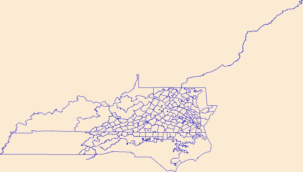
Virginia,
Virginia Beach,
Warren,
Washington,
Waynesboro,
Westmoreland,
Williamsburg,
Winchester,
Wise,
Wythe,
York,
boundaries,
boundary,
cadastral surveys,
geographic names,
land ownership,
land use maps,
legal land descriptions,
political and administrative boundaries,
zoning maps, Fewer tags
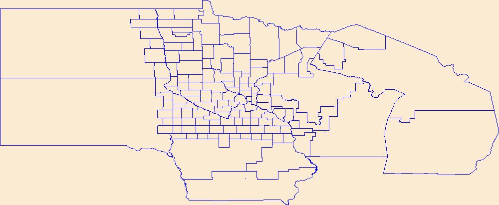
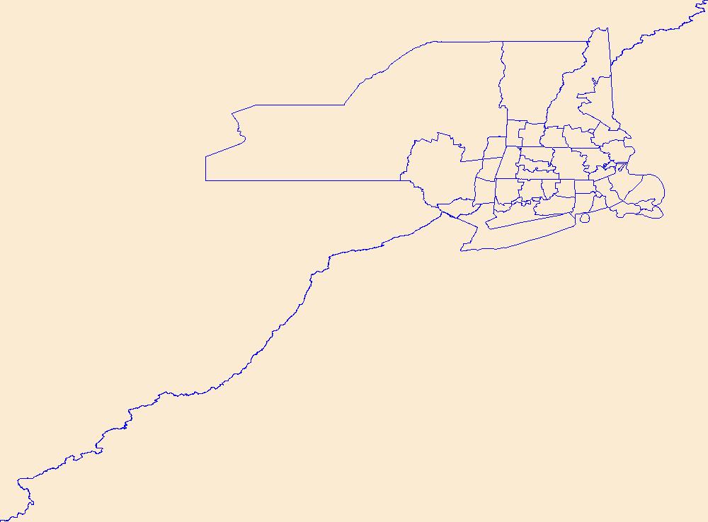
Geospatial data is comprised of government boundaries.
Types: Citation;
Tags: Aitkin,
Anoka,
Becker,
Beltrami,
Benton, All tags...
Big Stone,
Blue Earth,
Boundaries,
Brown,
Carlton,
Carver,
Cass,
Chippewa,
Chisago,
Clay,
Clearwater,
Cook,
Cottonwood,
County or Equivalent,
Crow Wing,
Dakota,
Dodge,
Douglas,
Downloadable Data,
Esri File GeoDatabase 10,
Faribault,
FileGDB,
Fillmore,
Freeborn,
Goodhue,
Grant,
Hennepin,
Houston,
Hubbard,
Incorporated Place,
Isanti,
Itasca,
Jackson,
Jurisdictional,
Kanabec,
Kandiyohi,
Kittson,
Koochiching,
Lac qui Parle,
Lake,
Lake of the Woods,
Le Sueur,
Lincoln,
Lyon,
MN,
Mahnomen,
Marshall,
Martin,
McLeod,
Meeker,
Mille Lacs,
Minnesota,
Minor Civil Division,
Morrison,
Mower,
Murray,
National Boundary Dataset (NBD),
National Boundary Dataset (NBD),
Native American Area,
Nicollet,
Nobles,
Norman,
Olmsted,
Otter Tail,
PLSS First Division,
PLSS Special Survey,
PLSS Township,
Pennington,
Pine,
Pipestone,
Polk,
Pope,
Public Land Survey System,
Ramsey,
Red Lake,
Redwood,
Renville,
Reserve,
Rice,
Rock,
Roseau,
Scott,
Sherburne,
Sibley,
St. Louis,
State,
State,
State or Territory,
Stearns,
Steele,
Stevens,
Swift,
Todd,
Traverse,
U.S. National Grid,
US,
Unincorporated Place,
United States,
Wabasha,
Wadena,
Waseca,
Washington,
Watonwan,
Wilkin,
Winona,
Wright,
Yellow Medicine,
boundaries,
boundary,
cadastral surveys,
geographic names,
land ownership,
land use maps,
legal land descriptions,
political and administrative boundaries,
zoning maps, Fewer tags
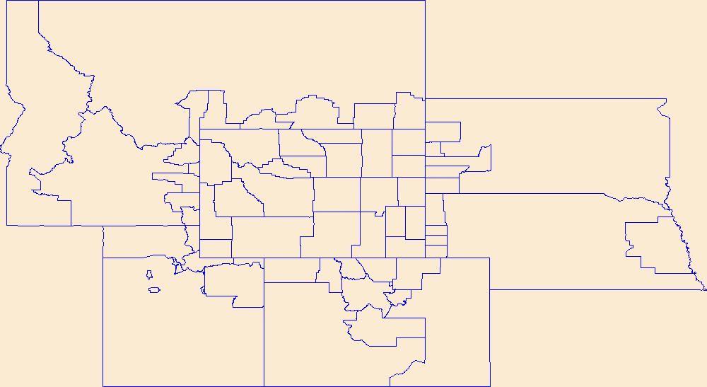
Geospatial data is comprised of government boundaries.
Tags: Albany,
Big Horn,
Boundaries,
Campbell,
Carbon, All tags...
Converse,
County or Equivalent,
Crook,
Downloadable Data,
Fremont,
GeoPackage,
Goshen,
Hot Springs,
Incorporated Place,
Johnson,
Jurisdictional,
Laramie,
Lincoln,
Minor Civil Division,
National Boundary Dataset (NBD),
National Boundary Dataset (NBD),
Native American Area,
Natrona,
Niobrara,
Open Geospatial Consortium GeoPackage 1.2,
PLSS First Division,
PLSS Special Survey,
PLSS Township,
Park,
Platte,
Public Land Survey System,
Reserve,
Sheridan,
State,
State,
State or Territory,
Sublette,
Sweetwater,
Teton,
U.S. National Grid,
US,
Uinta,
Unincorporated Place,
United States,
WY,
Washakie,
Weston,
Wyoming,
boundaries,
boundary,
cadastral surveys,
geographic names,
land ownership,
land use maps,
legal land descriptions,
political and administrative boundaries,
zoning maps, Fewer tags
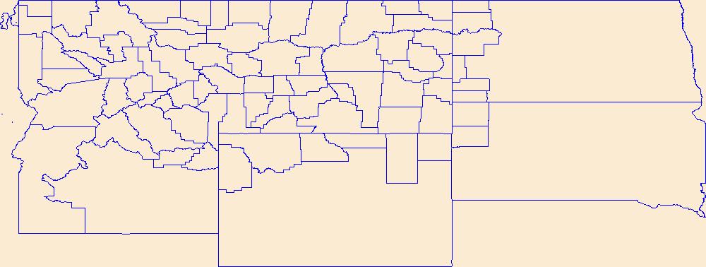
Geospatial data is comprised of government boundaries.
Tags: Beaverhead,
Big Horn,
Blaine,
Boundaries,
Broadwater, All tags...
Carbon,
Carter,
Cascade,
Chouteau,
County or Equivalent,
Custer,
Daniels,
Dawson,
Deer Lodge,
Downloadable Data,
Esri Shapefile nan,
Fallon,
Fergus,
Flathead,
Gallatin,
Garfield,
Glacier,
Golden Valley,
Granite,
Hill,
Incorporated Place,
Jefferson,
Judith Basin,
Jurisdictional,
Lake,
Lewis and Clark,
Liberty,
Lincoln,
MT,
Madison,
McCone,
Meagher,
Mineral,
Minor Civil Division,
Missoula,
Montana,
Musselshell,
National Boundary Dataset (NBD),
National Boundary Dataset (NBD),
Native American Area,
PLSS First Division,
PLSS Special Survey,
PLSS Township,
Park,
Petroleum,
Phillips,
Pondera,
Powder River,
Powell,
Prairie,
Public Land Survey System,
Ravalli,
Reserve,
Richland,
Roosevelt,
Rosebud,
Sanders,
Shapefile,
Sheridan,
Silver Bow,
State,
State,
State or Territory,
Stillwater,
Sweet Grass,
Teton,
Toole,
Treasure,
U.S. National Grid,
US,
Unincorporated Place,
United States,
Valley,
Wheatland,
Wibaux,
Yellowstone,
boundaries,
boundary,
cadastral surveys,
geographic names,
land ownership,
land use maps,
legal land descriptions,
political and administrative boundaries,
zoning maps, Fewer tags
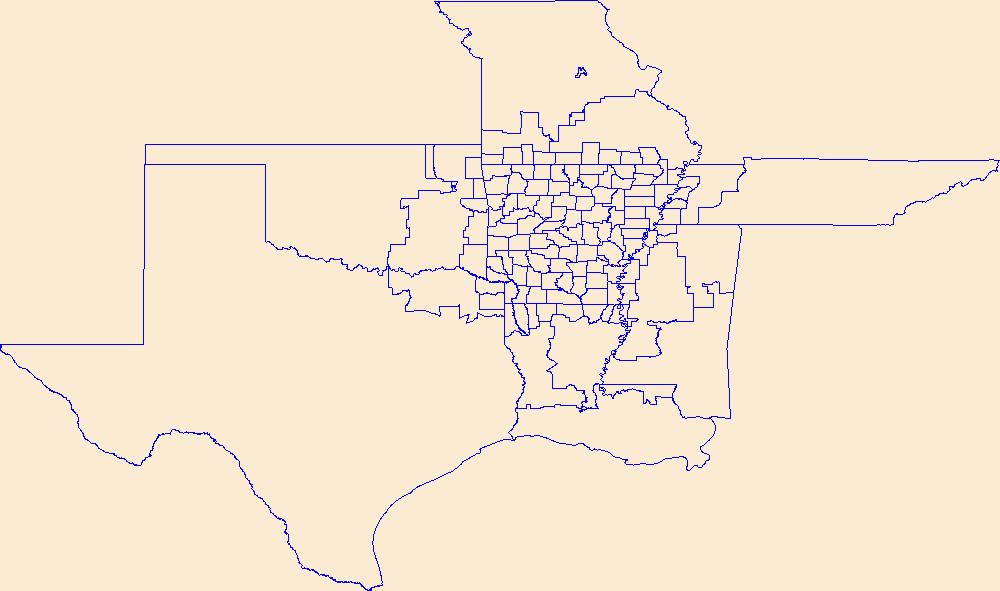
Geospatial data is comprised of government boundaries.
Types: Citation;
Tags: AR,
Arkansas,
Arkansas,
Ashley,
Baxter, All tags...
Benton,
Boone,
Boundaries,
Bradley,
Calhoun,
Carroll,
Chicot,
Clark,
Clay,
Cleburne,
Cleveland,
Columbia,
Conway,
County or Equivalent,
Craighead,
Crawford,
Crittenden,
Cross,
Dallas,
Desha,
Downloadable Data,
Drew,
Esri File GeoDatabase 10,
Faulkner,
FileGDB,
Franklin,
Fulton,
Garland,
Grant,
Greene,
Hempstead,
Hot Spring,
Howard,
Incorporated Place,
Independence,
Izard,
Jackson,
Jefferson,
Johnson,
Jurisdictional,
Lafayette,
Lawrence,
Lee,
Lincoln,
Little River,
Logan,
Lonoke,
Madison,
Marion,
Miller,
Minor Civil Division,
Mississippi,
Monroe,
Montgomery,
National Boundary Dataset (NBD),
National Boundary Dataset (NBD),
Native American Area,
Nevada,
Newton,
Ouachita,
PLSS First Division,
PLSS Special Survey,
PLSS Township,
Perry,
Phillips,
Pike,
Poinsett,
Polk,
Pope,
Prairie,
Public Land Survey System,
Pulaski,
Randolph,
Reserve,
Saline,
Scott,
Searcy,
Sebastian,
Sevier,
Sharp,
St. Francis,
State,
State,
State or Territory,
Stone,
U.S. National Grid,
US,
Unincorporated Place,
Union,
United States,
Van Buren,
Washington,
White,
Woodruff,
Yell,
boundaries,
boundary,
cadastral surveys,
geographic names,
land ownership,
land use maps,
legal land descriptions,
political and administrative boundaries,
zoning maps, Fewer tags
Geospatial data is comprised of government boundaries.
Tags: Belknap,
Boundaries,
Carroll,
Cheshire,
Coos, All tags...
County or Equivalent,
Downloadable Data,
Esri Shapefile nan,
Grafton,
Hillsborough,
Incorporated Place,
Jurisdictional,
Merrimack,
Minor Civil Division,
NH,
National Boundary Dataset (NBD),
National Boundary Dataset (NBD),
Native American Area,
New Hampshire,
PLSS First Division,
PLSS Special Survey,
PLSS Township,
Public Land Survey System,
Reserve,
Rockingham,
Shapefile,
State,
State,
State or Territory,
Strafford,
Sullivan,
U.S. National Grid,
US,
Unincorporated Place,
United States,
boundaries,
boundary,
cadastral surveys,
geographic names,
land ownership,
land use maps,
legal land descriptions,
political and administrative boundaries,
zoning maps, Fewer tags
Geospatial data is comprised of government boundaries.
Types: Citation;
Tags: Barnstable,
Berkshire,
Boundaries,
Bristol,
County or Equivalent, All tags...
Downloadable Data,
Dukes,
Esri File GeoDatabase 10,
Essex,
FileGDB,
Franklin,
Hampden,
Hampshire,
Incorporated Place,
Jurisdictional,
MA,
Massachusetts,
Middlesex,
Minor Civil Division,
Nantucket,
National Boundary Dataset (NBD),
National Boundary Dataset (NBD),
Native American Area,
Norfolk,
PLSS First Division,
PLSS Special Survey,
PLSS Township,
Plymouth,
Public Land Survey System,
Reserve,
State,
State,
State or Territory,
Suffolk,
U.S. National Grid,
US,
Unincorporated Place,
United States,
Worcester,
boundaries,
boundary,
cadastral surveys,
geographic names,
land ownership,
land use maps,
legal land descriptions,
political and administrative boundaries,
zoning maps, Fewer tags

Geospatial data is comprised of government boundaries.
Tags: AS,
American Samoa,
Boundaries,
County or Equivalent,
Downloadable Data, All tags...
Eastern,
GeoPackage,
Incorporated Place,
Jurisdictional,
Manu'a,
Minor Civil Division,
National Boundary Dataset (NBD),
National Boundary Dataset (NBD),
Native American Area,
Open Geospatial Consortium GeoPackage 1.2,
PLSS First Division,
PLSS Special Survey,
PLSS Township,
Public Land Survey System,
Reserve,
Rose Island,
State,
State,
State or Territory,
Swains Island,
U.S. National Grid,
US,
Unincorporated Place,
United States,
Western,
boundaries,
boundary,
cadastral surveys,
geographic names,
land ownership,
land use maps,
legal land descriptions,
political and administrative boundaries,
zoning maps, Fewer tags

Geospatial data is comprised of government boundaries.
Types: Citation;
Tags: Boundaries,
County or Equivalent,
Downloadable Data,
Esri File GeoDatabase 10,
FileGDB, All tags...
HI,
Hawaii,
Hawaii,
Honolulu,
Incorporated Place,
Jurisdictional,
Kalawao,
Kauai,
Maui,
Minor Civil Division,
National Boundary Dataset (NBD),
National Boundary Dataset (NBD),
Native American Area,
PLSS First Division,
PLSS Special Survey,
PLSS Township,
Public Land Survey System,
Reserve,
State,
State,
State or Territory,
U.S. National Grid,
US,
Unincorporated Place,
United States,
boundaries,
boundary,
cadastral surveys,
geographic names,
land ownership,
land use maps,
legal land descriptions,
political and administrative boundaries,
zoning maps, Fewer tags

Conservation properties in the East Kootenay, West Kootenay and North Columbia. The data includes BC Government, Canadian Wildlife Service, FWCP, NCC, The Land Conservancy, Nature Trust, Fee Simple and TAC properties. This dataset excludes covenants & other agreements. (Non-OGL version)
Tags: Acquisition,
Agreements,
BC,
BC data,
Biology, All tags...
Boundaries,
British Columbia,
Canada,
Columbia Basin,
Conservation,
Conservation Properties,
EKCP,
East Kootenay,
East Kootenay Conservation Program,
Ecology,
FWCP,
Fee Simple,
Fish,
Fish and Wildlife Compensation Program,
Kootenay Conservation Properties,
Kootenays,
Land Acquisition,
Land Ownership,
NPLCC,
North Pacific Landscape Conservation Cooperative,
Properties,
Rocky Mountains,
TAC,
West Kootenay,
Wildlife,
environment,
private land, Fewer tags

The data set consists of data collected in 1995, 1996, and 1997 in wetlands in the Prairie Pothole Region of North Dakota and South Dakota. The data were summarized and used in the analysis for a U.S. Geological Survey Open File Report entitled: The influence of local- and landscape-level factors on wetland breeding birds in the Prairie Pothole Region of North and South Dakota. The data consist of two data sets. A species data set includes the common names, scientific names (species and genus), and four-letter alpha codes for 133 bird species observed during the three-year study. The bird abundance data set includes the abundance of wetland birds by wetland class (temporary, seasonal, semipermanent, permanent, alkali),...
Categories: Data;
Tags: Aquatic Biology,
Aquatic birds,
Arrowwood Wetland Management District,
Audubon Wetland Management District,
Chase Lake Wetland Management District, All tags...
Des Lacs Wetland Management District,
Devils Lake Wetland Management District,
Ecology,
Environmental restoration,
Huron Wetland Management District,
J. Clark Salyer Wetland Management District,
Kulm Wetland Management District,
Lake Andes Wetland Management District,
Land ownership,
Landscape,
Long Lake Wetland Management District,
Lostwood Wetland Management District,
Madison Wetland Management District,
North Dakota,
Prairie Pothole Region,
Sand Lake Wetland Management District,
South Dakota,
Tewaukon Wetland Management District,
USGS Science Data Catalog (SDC),
Valley City Wetland Management District,
Waubay Wetland Management District,
Wetlands,
Wildlife Biology,
biota,
birds,
landscape factors,
local factors,
wetland birds,
wetland classification,
wetland ecosystems,
wetland restoration, Fewer tags

The Protected Areas Database of the United States (PAD-US) is a geodatabase, managed by U. S. Geological Survey Gap Analysis Program, that illustrates and describes public land ownership, management and other conservation lands, including voluntarily provided privately protected areas. The geodatabase contains four feature classes such as, Marine Protected Areas (MPA) and Easements that each contains uniquely associated attributes. These two feature classes are combined with the PAD-US Fee feature class to provide a full inventory of protected areas in a common schema (i.e. Combined file). Legitimate and other protected area overlaps exist in the full inventory, with Easements loaded on top of Fee and MPAs...
Categories: Data;
Types: ArcGIS REST Map Service,
Map Service;
Tags: Alabama (AL),
Alaska (AK),
Arizona (AZ),
Arkansas (AR),
Biodiversity, All tags...
California (CA),
Colorado (CO),
Connecticut (CT),
Conservation,
Delaware (DE),
Florida (FL),
GAP Status Code,
Gap Analysis,
Georgia (GA),
Hawaii (HI),
IUCN Category,
Idaho (ID),
Illinois (IL),
Indiana (IN),
Iowa (IA),
Kansas (KS),
Kentucky (KY),
Land Manager,
Land Ownership,
Land Stewardship,
Louisiana (LA),
Maine (ME),
Maryland (MD),
Massachusetts (MA),
Michigan (MI),
Minnesota (MN),
Mississippi (MS),
Missouri (MO),
Montana (MT),
Nebraska (NE),
Nevada (NV),
New Hampshire (NH),
New Jersey (NJ),
New Mexico (NM),
New York (NY),
North Carolina (NC),
North Dakota (ND),
Ohio (OH),
Oklahoma (OK),
Oregon (OR),
Pennsylvania (PA),
Protected Area,
Protection Status,
Rhode Island (RI),
South Carolina (SC),
South Dakota (SD),
Tennessee (TN),
Texas (TX),
United States,
Utah (UT),
Vermont (VT),
Virginia (VA),
Washington (WA),
West Virginia (WV),
Wisconsin (WI),
Wyoming (WY), Fewer tags

Spatial analysis and statistical summaries of the Protected Areas Database of the United States (PAD-US) provide land managers and decision makers with a general assessment of management intent for biodiversity protection, natural resource management, and recreation access across the nation. The PAD-US 2.1 Combined Fee, Designation, Easement feature class (with Military Lands and Tribal Areas from the Proclamation and Other Planning Boundaries feature class) was modified to remove overlaps, avoiding overestimation in protected area statistics and to support user needs. A Python scripted process ("CreateVectorAnalysisFileScript.zip" associated item of PAD-US 2.1 Spatial Analysis and Statistics, 2021; https://doi.org/10.5066/P9KJLB3Q)...
Categories: Data;
Tags: Agricultural Research Service,
Alabama (AL),
Alaska (AK),
American Samoa (AS),
Arizona (AZ), All tags...
Arkansas (AR),
Army Corps of Engineers,
Biodiversity,
Bureau of Land Management,
Bureau of Reclamation,
Cadastre Theme,
California (CA),
Colorado (CO),
Connecticut (CT),
Conservation,
Delaware (DE),
Department of Defense,
Department of Energy,
Federal Lands,
Federated States of Micronesia (FM),
Florida (FL),
Forest Service,
GAP Status Code,
Gap Analysis,
Geography,
Georgia (GA),
Governmental Units,
Guam (GU),
Hawaii (HI),
IUCN Category,
Idaho (ID),
Illinois (IL),
Indiana (IN),
Iowa (IA),
Kansas (KS),
Kentucky (KY),
Land Manager,
Land Ownership,
Land Stewardship,
Land-Use Change,
Local Government Lands,
Louisiana (LA),
Maine (ME),
Mariana Islands (MP),
Marshall Islands (MH),
Maryland (MD),
Massachusetts (MA),
Michigan (MI),
Minnesota (MN),
Mississippi (MS),
Missouri (MO),
Montana (MT),
NGDA,
NGDA Portfolio Themes,
National Geospatial Data Asset,
National Oceanic and Atmospheric Administration,
National Park Service,
Natural Resources Conservation Service,
Nebraska (NE),
Nevada (NV),
New Hampshire (NH),
New Jersey (NJ),
New Mexico (NM),
New York (NY),
North Carolina (NC),
North Dakota (ND),
Ohio (OH),
Oklahoma (OK),
Oregon (OR),
Outdoor Recreation,
Palau (PW),
Parks,
Pennsylvania (PA),
Private Lands,
Protected Area,
Protection Status,
Public Health,
Public Lands,
Public Open Space,
Puerto Rico (PR),
Rhode Island (RI),
South Carolina (SC),
South Dakota (SD),
State Lands,
Tennessee (TN),
Tennessee Valley Authority,
Texas (TX),
U.S. Fish and Wildlife Service,
U.S. Minor Outlying Islands (UM),
United States,
United States,
United States Virgin Islands (VI),
Utah (UT),
Vermont (VT),
Virginia (VA),
Washington (WA),
West Virginia (WV),
Wisconsin (WI),
Wyoming (WY), Fewer tags

Protection Status spatial analysis and statistical summaries of the Protected Areas Database of the United States (PAD-US) provide land managers and decision makers with a general assessment of management intent to protect biodiversity across the nation and identify areas managed for multiple uses, including natural resource extraction, as represented by the GAP Status Code (see GAP Status Code Definition sheet in all associated Summary Statistics by GAP Status Code Microsoft Excel Workbook download). Area statistics include total acreage, acres by managing agency, and percent protection. These summaries are available for various units of interest to stakeholders: National, State, Department of the Interior Region,...
Categories: Data;
Tags: Agricultural Research Service,
Alabama (AL),
Alaska (AK),
American Samoa (AS),
Arizona (AZ), All tags...
Arkansas (AR),
Army Corps of Engineers,
Biodiversity,
Bureau of Land Management,
Bureau of Reclamation,
Cadastre Theme,
California (CA),
Colorado (CO),
Connecticut (CT),
Conservation,
Delaware (DE),
Department of Defense,
Department of Energy,
Federal Lands,
Federated States of Micronesia (FM),
Florida (FL),
Forest Service,
GAP Status Code,
Gap Analysis,
Geography,
Georgia (GA),
Governmental Units,
Guam (GU),
Hawaii (HI),
IUCN Category,
Idaho (ID),
Illinois (IL),
Indiana (IN),
Iowa (IA),
Kansas (KS),
Kentucky (KY),
Land Manager,
Land Ownership,
Land Stewardship,
Land-Use Change,
Local Government Lands,
Louisiana (LA),
Maine (ME),
Mariana Islands (MP),
Marshall Islands (MH),
Maryland (MD),
Massachusetts (MA),
Michigan (MI),
Minnesota (MN),
Mississippi (MS),
Missouri (MO),
Montana (MT),
NGDA,
NGDA Portfolio Themes,
National Geospatial Data Asset,
National Oceanic and Atmospheric Administration,
National Park Service,
Natural Resources Conservation Service,
Nebraska (NE),
Nevada (NV),
New Hampshire (NH),
New Jersey (NJ),
New Mexico (NM),
New York (NY),
North Carolina (NC),
North Dakota (ND),
Ohio (OH),
Oklahoma (OK),
Oregon (OR),
Outdoor Recreation,
Palau (PW),
Parks,
Pennsylvania (PA),
Private Lands,
Protected Area,
Protection Status,
Public Health,
Public Lands,
Public Open Space,
Puerto Rico (PR),
Rhode Island (RI),
South Carolina (SC),
South Dakota (SD),
State Lands,
Tennessee (TN),
Tennessee Valley Authority,
Texas (TX),
U.S. Fish and Wildlife Service,
U.S. Minor Outlying Islands (UM),
United States,
United States,
United States Virgin Islands (VI),
Utah (UT),
Vermont (VT),
Virginia (VA),
Washington (WA),
West Virginia (WV),
Wisconsin (WI),
Wyoming (WY),
land use and land cover, Fewer tags

Spatial analysis and statistical summaries of the Protected Areas Database of the United States (PAD-US) provide land managers and decision makers with a general assessment of management intent for biodiversity protection, natural resource management, and recreation access across the nation. This data release presents results from statistical summaries of the PAD-US 2.1 protection status for various land unit boundaries (Protected Areas Database of the United States (PAD-US) 2.1 Summary Statistics by GAP Status Code) as well as summaries of public access status (Protected Areas Database of the United States (PAD-US) 2.1 Summary Statistics by Public Access Category), provided in Microsoft Excel readable workbooks,...
Tags: Agricultural Research Service,
Alabama (AL),
Alaska (AK),
American Samoa (AS),
Arizona (AZ), All tags...
Arkansas (AR),
Army Corps of Engineers,
Biodiversity,
Bureau of Land Management,
Bureau of Reclamation,
Cadastre Theme,
California (CA),
Colorado (CO),
Connecticut (CT),
Conservation,
Delaware (DE),
Department of Defense,
Department of Energy,
Federal Lands,
Federated States of Micronesia (FM),
Florida (FL),
Forest Service,
GAP Status Code,
Gap Analysis,
Geography,
Georgia (GA),
Governmental Units,
Guam (GU),
Hawaii (HI),
IUCN Category,
Idaho (ID),
Illinois (IL),
Indiana (IN),
Iowa (IA),
Kansas (KS),
Kentucky (KY),
Land Manager,
Land Ownership,
Land Stewardship,
Land-Use Change,
Local Government Lands,
Louisiana (LA),
Maine (ME),
Mariana Islands (MP),
Marshall Islands (MH),
Maryland (MD),
Massachusetts (MA),
Michigan (MI),
Minnesota (MN),
Mississippi (MS),
Missouri (MO),
Montana (MT),
NGDA,
NGDA Portfolio Themes,
National Geospatial Data Asset,
National Oceanic and Atmospheric Administration,
National Park Service,
Natural Resources Conservation Service,
Nebraska (NE),
Nevada (NV),
New Hampshire (NH),
New Jersey (NJ),
New Mexico (NM),
New York (NY),
North Carolina (NC),
North Dakota (ND),
Ohio (OH),
Oklahoma (OK),
Oregon (OR),
Outdoor Recreation,
Palau (PW),
Parks,
Pennsylvania (PA),
Private Lands,
Protected Area,
Protection Status,
Public Health,
Public Lands,
Public Open Space,
Puerto Rico (PR),
Rhode Island (RI),
South Carolina (SC),
South Dakota (SD),
State Lands,
Tennessee (TN),
Tennessee Valley Authority,
Texas (TX),
U.S. Fish and Wildlife Service,
U.S. Minor Outlying Islands (UM),
USGS Science Data Catalog (SDC),
United States,
United States,
United States Virgin Islands (VI),
Utah (UT),
Vermont (VT),
Virginia (VA),
Washington (WA),
West Virginia (WV),
Wisconsin (WI),
Wyoming (WY), Fewer tags

The USGS Protected Areas Database of the United States (PAD-US) is the nation's inventory of protected areas, including public open space and voluntarily provided, private protected areas, identified as an A-16 National Geospatial Data Asset in the Cadastral Theme (http://www.fgdc.gov/ngda-reports/NGDA_Datasets.html). PAD-US is an ongoing project with several published versions of a spatial database of areas dedicated to the preservation of biological diversity, and other natural, recreational or cultural uses, managed for these purposes through legal or other effective means. The geodatabase maps and describes public open space and other protected areas. Most areas are public lands owned in fee; however, long-term...
Types: Citation;
Tags: Agricultural Research Service,
Alabama (AL),
Alaska (AK),
American Samoa (AS),
Arizona (AZ), All tags...
Arkansas (AR),
Army Corps of Engineers,
Biodiversity,
Bureau of Indian Affairs,
Bureau of Land Management,
Bureau of Reclamation,
Cadastre Theme,
California (CA),
Colorado (CO),
Connecticut (CT),
Conservation,
Delaware (DE),
Department of Defense,
Department of Energy,
Federal Lands,
Federated States of Micronesia (FM),
Florida (FL),
Forest Service,
GAP Status Code,
Gap Analysis,
Georgia (GA),
Governmental Units,
Guam (GU),
Hawaii (HI),
IUCN Category,
Idaho (ID),
Illinois (IL),
Indiana (IN),
Iowa (IA),
Kansas (KS),
Kentucky (KY),
Land Manager,
Land Ownership,
Land Stewardship,
Local Government Lands,
Louisiana (LA),
Maine (ME),
Mariana Islands (MP),
Marshall Islands (MH),
Maryland (MD),
Massachusetts (MA),
Michigan (MI),
Minnesota (MN),
Mississippi (MS),
Missouri (MO),
Montana (MT),
NGDA,
NGDA Portfolio Themes,
NGDA Portfolio Themes,
National Geospatial Data Asset,
National Oceanic and Atmospheric Administration,
National Park Service,
Natural Resources Conservation Service,
Nebraska (NE),
Nevada (NV),
New Hampshire (NH),
New Jersey (NJ),
New Mexico (NM),
New York (NY),
North Carolina (NC),
North Dakota (ND),
Ohio (OH),
Oklahoma (OK),
Oregon (OR),
Outdoor Recreation,
Palau (PW),
Parks,
Pennsylvania (PA),
Private Lands,
Protected Area,
Protection Status,
Public Health,
Public Lands,
Public Open Space,
Puerto Rico (PR),
Rhode Island (RI),
South Carolina (SC),
South Dakota (SD),
State Lands,
Tennessee (TN),
Tennessee Valley Authority,
Texas (TX),
U.S. Fish & Wildlife Service,
U.S. Fish and Wildlife Service,
U.S. Minor Outlying Islands (UM),
United States,
United States,
United States Virgin Islands (VI),
Utah (UT),
Vermont (VT),
Virginia (VA),
Washington (WA),
West Virginia (WV),
Wisconsin (WI),
Wyoming (WY), Fewer tags
|
|

