Filters: Tags: Lakewood (X)
47 results (9ms)|
Filters
Date Range
Types (Less) Contacts (Less)
Categories (Less) Tag Types Tag Schemes
|
This data set contains imagery from the National Agriculture Imagery Program (NAIP). The NAIP program is administered by USDA FSA and has been established to support two main FSA strategic goals centered on agricultural production. These are, increase stewardship of America's natural resources while enhancing the environment, and to ensure commodities are procured and distributed effectively and efficiently to increase food security. The NAIP program supports these goals by acquiring and providing ortho imagery that has been collected during the agricultural growing season in the U.S. The NAIP ortho imagery is tailored to meet FSA requirements and is a fundamental tool used to support FSA farm and conservation programs....
This data set contains imagery from the National Agriculture Imagery Program (NAIP). The NAIP program is administered by USDA FSA and has been established to support two main FSA strategic goals centered on agricultural production. These are, increase stewardship of America's natural resources while enhancing the environment, and to ensure commodities are procured and distributed effectively and efficiently to increase food security. The NAIP program supports these goals by acquiring and providing ortho imagery that has been collected during the agricultural growing season in the U.S. The NAIP ortho imagery is tailored to meet FSA requirements and is a fundamental tool used to support FSA farm and conservation programs....
This data set contains imagery from the National Agriculture Imagery Program (NAIP). The NAIP program is administered by USDA FSA and has been established to support two main FSA strategic goals centered on agricultural production. These are, increase stewardship of America's natural resources while enhancing the environment, and to ensure commodities are procured and distributed effectively and efficiently to increase food security. The NAIP program supports these goals by acquiring and providing ortho imagery that has been collected during the agricultural growing season in the U.S. The NAIP ortho imagery is tailored to meet FSA requirements and is a fundamental tool used to support FSA farm and conservation programs....
This dataset is related to a 2017 journal article by A. J. Pietruszka and L. A. Neymark titled "Evaluation of laser ablation double-focusing SC-ICPMS for “common” lead isotopic measurements in silicate glasses and minerals" that is published in the Journal of Analytical Atomic Spectrometry (doi:10.1039/c7ja00005g).
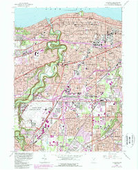
USGS Historical Quadrangle in GeoPDF.
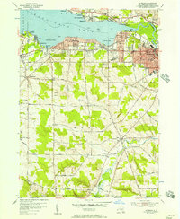
USGS Historical Quadrangle in GeoPDF.
This data set contains imagery from the National Agriculture Imagery Program (NAIP). The NAIP program is administered by USDA FSA and has been established to support two main FSA strategic goals centered on agricultural production. These are, increase stewardship of America's natural resources while enhancing the environment, and to ensure commodities are procured and distributed effectively and efficiently to increase food security. The NAIP program supports these goals by acquiring and providing ortho imagery that has been collected during the agricultural growing season in the U.S. The NAIP ortho imagery is tailored to meet FSA requirements and is a fundamental tool used to support FSA farm and conservation programs....
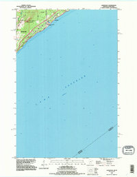
USGS Historical Quadrangle in GeoPDF.

USGS Historical Quadrangle in GeoPDF.
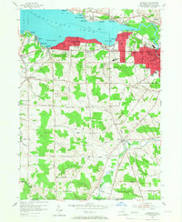
USGS Historical Quadrangle in GeoPDF.
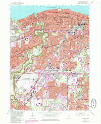
USGS Historical Quadrangle in GeoPDF.
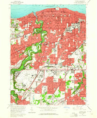
USGS Historical Quadrangle in GeoPDF.
The Los Angeles Coastal Plain (LACP) covers about 580 square miles and is the largest coastal plain of semiarid southern California. The LACP is heavily developed with mostly residential, commercial, and industrial land uses that rely heavily on groundwater for water supply. In 2010, the LACP was home to about 14 percent of California’s population and is also a major commercial and industrial hub. There has been a heavy reliance on groundwater from the LACP for many years. Managed aquifer recharge from the spreading grounds and barrier wells is now a substantial component of the LACP’s groundwater supply. The U.S. Geological Survey (USGS) conducted a study in cooperation with the Water Replenishment District of...

The U.S. Geological Survey (USGS), in cooperation with the Water Replenishment District of Southern California, developed a regional groundwater model of the Los Angeles Coastal Plain (LACP) incorporating new data, analyses, and modeling tools to better understand the hydrogeology of the groundwater basins. The LACP covers about 580 square miles and is the largest coastal plain of semiarid southern California. This aquifer is heavily developed with mostly residential, commercial, and industrial use and relies heavily on groundwater for its water supply. There has been a heavy reliance on groundwater from the LACP for many years. The need to replenish the groundwater basins within the LACP was recognized as far back...
This data set contains imagery from the National Agriculture Imagery Program (NAIP). The NAIP program is administered by USDA FSA and has been established to support two main FSA strategic goals centered on agricultural production. These are, increase stewardship of America's natural resources while enhancing the environment, and to ensure commodities are procured and distributed effectively and efficiently to increase food security. The NAIP program supports these goals by acquiring and providing ortho imagery that has been collected during the agricultural growing season in the U.S. The NAIP ortho imagery is tailored to meet FSA requirements and is a fundamental tool used to support FSA farm and conservation programs....
This data set contains imagery from the National Agriculture Imagery Program (NAIP). The NAIP program is administered by USDA FSA and has been established to support two main FSA strategic goals centered on agricultural production. These are, increase stewardship of America's natural resources while enhancing the environment, and to ensure commodities are procured and distributed effectively and efficiently to increase food security. The NAIP program supports these goals by acquiring and providing ortho imagery that has been collected during the agricultural growing season in the U.S. The NAIP ortho imagery is tailored to meet FSA requirements and is a fundamental tool used to support FSA farm and conservation programs....
These data include pumping, injection, and water spreading input data for the MODFLOW-6 extension and update to Los Angeles Coastal Plain Groundwater Model (LACPGM-MF6) for the years 2016-2020. The LACPGM-MF6 required model inputs to represent groundwater injection, groundwater extraction, and water spreading. Extended datasets include four barrier project injection rates, two groundwater production extraction rates, and one water spreading infiltration rates. The data were made available by the two local water agencies, Water Resources Division of Los Angeles and the Orange County Water District. Spreading data were formatted for the MODFLOW-6 well package and both injection and extraction data were formatted for...
Categories: Data;
Tags: 2016-2019 model extension,
Barrier Project,
Bell Gardens,
California,
Cerritos,
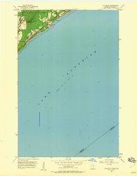
USGS Historical Quadrangle in GeoPDF.
This data release includes 40Ar/39Ar intercalibration data from the U.S. Geological Survey for neutron fluence monitors HD-B1 (Heidelberg biotite) and FCs (Fish Canyon sanidine). Potassium-bearing mineral grains were analyzed by argon geochronology at the U.S. Geological Survey Argon Geochronology Laboratory in Denver, Colorado. These data provide intercalibration information between the two fluence monitors.
This data set contains imagery from the National Agriculture Imagery Program (NAIP). The NAIP program is administered by USDA FSA and has been established to support two main FSA strategic goals centered on agricultural production. These are, increase stewardship of America's natural resources while enhancing the environment, and to ensure commodities are procured and distributed effectively and efficiently to increase food security. The NAIP program supports these goals by acquiring and providing ortho imagery that has been collected during the agricultural growing season in the U.S. The NAIP ortho imagery is tailored to meet FSA requirements and is a fundamental tool used to support FSA farm and conservation programs....
|

|
