Filters
Date Range
Extensions
Types
Contacts
Categories
Tag Types
Tag Schemes
|
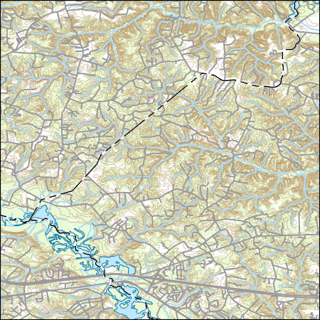
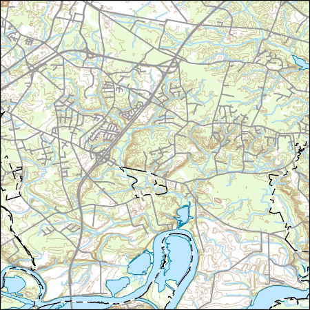
Layered geospatial PDF 7.5 Minute Quadrangle Map. Layers of geospatial data include orthoimagery, roads, grids, geographic names, elevation contours, hydrography, and other selected map features. This map is derived from GIS (geospatial information system) data. It represents a repackaging of GIS data in traditional map form, not creation of new information. The geospatial data in this map are from selected National Map data holdings and other government sources.
Tags: 7.5 x 7.5 minute,
Chesterfield County,
Downloadable Data,
EarthCover,
Geospatial PDF, All tags...
Geospatial PDF,
Goochland County,
Henrico County,
Imagery and Base Maps,
Map,
Midlothian, VA,
Powhatan County,
Public Land Survey System,
U.S. National Grid,
US,
US Topo,
US Topo Historical,
Virginia,
boundary,
contour,
geographic names,
hydrography,
imageryBaseMapsEarthCover,
orthoimage,
structures,
topographic,
transportation,
woodland, Fewer tags
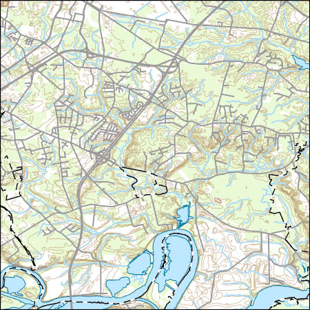
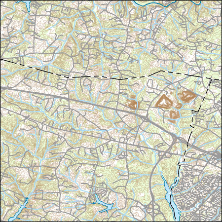
Layered geospatial PDF 7.5 Minute Quadrangle Map. Layers of geospatial data include orthoimagery, roads, grids, geographic names, elevation contours, hydrography, and other selected map features. This map is derived from GIS (geospatial information system) data. It represents a repackaging of GIS data in traditional map form, not creation of new information. The geospatial data in this map are from selected National Map data holdings and other government sources.
Tags: 7.5 x 7.5 minute,
Chesterfield County,
City of Richmond,
Downloadable Data,
EarthCover, All tags...
Geospatial PDF,
Geospatial PDF,
Henrico County,
Imagery and Base Maps,
Map,
Public Land Survey System,
U.S. National Grid,
US,
US Topo,
US Topo Current,
Virginia,
boundary,
contour,
geographic names,
hydrography,
imageryBaseMapsEarthCover,
orthoimage,
structures,
topographic,
transportation,
woodland, Fewer tags
Layers of geospatial data include contours, boundaries, land cover, hydrography, roads, transportation, geographic names, structures, and other selected map features.
Types: Citation;
Tags: 7.5 x 7.5 minute,
7_5_Min,
Combined Vector,
Combined Vector,
Combined Vector, All tags...
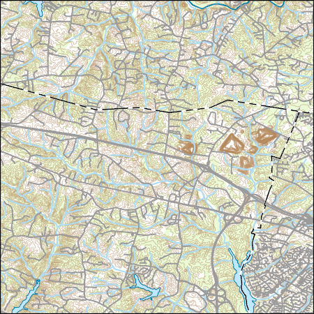
Downloadable Data,
Esri File GeoDatabase 10,
FileGDB,
Goochland County,
Hanover County,
Henrico County,
Public Land Survey System,
Topo Map Vector Data,
US,
United States,
VA,
Virginia,
boundary,
contours,
geographic names,
hydrography,
structures,
transportation,
woodland, Fewer tags
Layers of geospatial data include contours, boundaries, land cover, hydrography, roads, transportation, geographic names, structures, and other selected map features.
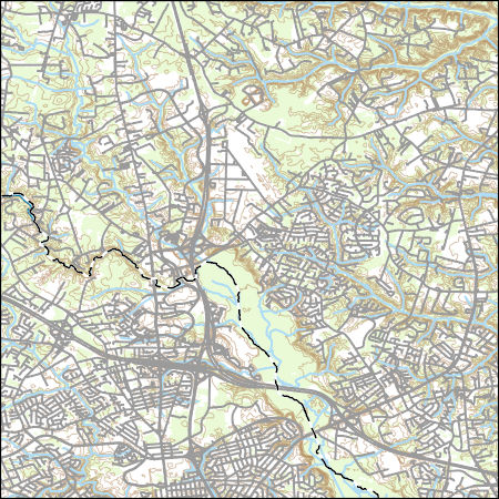
Tags: 7.5 x 7.5 minute,
7_5_Min,
Combined Vector,
Combined Vector,
Combined Vector, All tags...
Downloadable Data,
GeoPackage,
Goochland County,
Hanover County,
Henrico County,
Open Geospatial Consortium GeoPackage 1.2,
Public Land Survey System,
Topo Map Vector Data,
US,
United States,
VA,
Virginia,
boundary,
contours,
geographic names,
hydrography,
structures,
transportation,
woodland, Fewer tags
Layers of geospatial data include contours, boundaries, land cover, hydrography, roads, transportation, geographic names, structures, and other selected map features.
Types: Citation;
Tags: 7.5 x 7.5 minute,
7_5_Min,
Combined Vector,
Combined Vector,
Combined Vector, All tags...
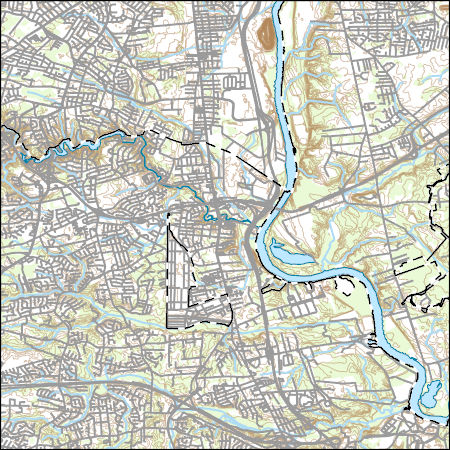
Downloadable Data,
Esri File GeoDatabase 10,
FileGDB,
Hanover County,
Henrico County,
Public Land Survey System,
Topo Map Vector Data,
US,
United States,
VA,
Virginia,
boundary,
contours,
geographic names,
hydrography,
structures,
transportation,
woodland, Fewer tags
Layers of geospatial data include contours, boundaries, land cover, hydrography, roads, transportation, geographic names, structures, and other selected map features.
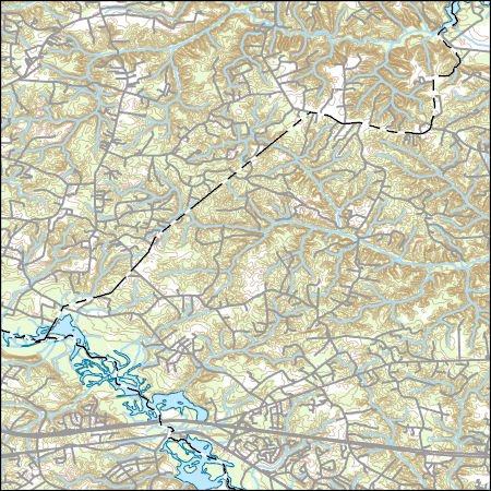
Tags: 7.5 x 7.5 minute,
7_5_Min,
Chesterfield County,
Combined Vector,
Combined Vector, All tags...
Combined Vector,
Downloadable Data,
GeoPackage,
Henrico County,
Open Geospatial Consortium GeoPackage 1.2,
Public Land Survey System,
Richmond County,
Topo Map Vector Data,
US,
United States,
VA,
Virginia,
boundary,
contours,
geographic names,
hydrography,
structures,
transportation,
woodland, Fewer tags
Layers of geospatial data include contours, boundaries, land cover, hydrography, roads, transportation, geographic names, structures, and other selected map features.
Tags: 7.5 x 7.5 minute,
7_5_Min,
Combined Vector,
Combined Vector,
Combined Vector, All tags...
Downloadable Data,
GeoPackage,
Hanover County,
Henrico County,
New Kent County,
Open Geospatial Consortium GeoPackage 1.2,
Public Land Survey System,
Topo Map Vector Data,
US,
United States,
VA,
Virginia,
boundary,
contours,
geographic names,
hydrography,
structures,
transportation,
woodland, Fewer tags
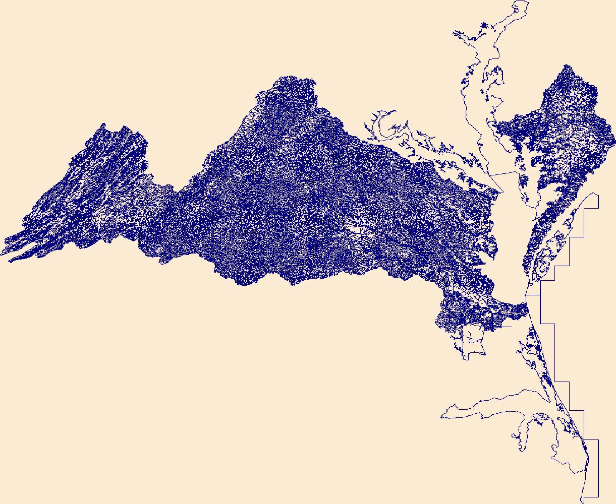
The National Hydrography Dataset (NHD) is a feature-based database that interconnects and uniquely identifies the stream segments or reaches that make up the nation's surface water drainage system. NHD data was originally developed at 1:100,000-scale and exists at that scale for the whole country. This high-resolution NHD, generally developed at 1:24,000/1:12,000 scale, adds detail to the original 1:100,000-scale NHD. (Data for Alaska, Puerto Rico and the Virgin Islands was developed at high-resolution, not 1:100,000 scale.) Local resolution NHD is being developed where partners and data exist. The NHD contains reach codes for networked features, flow direction, names, and centerline representations for areal water...
Tags: Accomack County,
Adams County,
Administrative watershed units,
Alamance County, All tags...
Albemarle County,
Alexander County,
Alexandria County,
Allegany County,
Alleghany County,
Amelia County,
Amherst County,
Anderson County,
Appomattox County,
Area of Complex Channels,
Area to be submerged,
Arlington County,
Ashe County,
Augusta County,
Basin,
Basin,
Bath County,
Bay/Inlet,
Bedford County,
Bell County,
Berkeley County,
Bertie County,
Bland County,
Botetourt County,
Boundaries,
Boundary,
Breathitt County,
Bridge,
Bristol County,
Brunswick County,
Buchanan County,
Buckingham County,
Buena Vista County,
Caldwell County,
Camden County,
Campbell County,
Canal/Ditch,
Cape May County,
Caroline County,
Carroll County,
Carter County,
Caswell County,
Charles City County,
Charles County,
Charlotte County,
Charlottesville County,
Chesapeake County,
Chesterfield County,
Chowan County,
Claiborne County,
Clarke County,
Clay County,
Coastline,
Colonial Heights County,
Connector,
Covington County,
Craig County,
Culpeper County,
Cumberland County,
Currituck County,
DC,
DE,
Dam/Weir,
Danville County,
Dare County,
Davidson County,
Davie County,
Delaware,
Dickenson County,
Dinwiddie County,
District of Columbia,
District of Columbia County,
Dorchester County,
Downloadable Data,
Drainage areas for surface water,
Drainageway,
Emporia County,
Esri Shapefile,
Essex County,
Estuary,
Fairfax County,
Falls Church County,
Fauquier County,
Flow direction network,
Floyd County,
Flume,
Fluvanna County,
ForeShore,
Forsyth County,
Franklin County,
Frederick County,
Fredericksburg County,
Fulton County,
Gaging Station,
Galax County,
Gate,
Gates County,
Giles County,
Gloucester County,
Goochland County,
Grainger County,
Grant County,
Granville County,
Grayson County,
Greenbrier County,
Greene County,
Greensville County,
Guilford County,
HU10,
HU12,
HU14,
HU16,
HU2,
HU4,
HU6,
HU8,
HUC,
Halifax County,
Hamblen County,
Hampshire County,
Hampton County,
Hancock County,
Hanover County,
Hardy County,
Harlan County,
Harrisonburg County,
Hawkins County,
Hazard Zone,
Henrico County,
Henry County,
Hertford County,
Highland County,
Hopewell County,
Huntingdon County,
Hyde County,
Hydrographic,
Hydrography,
Hydrography,
Hydrography,
Hydrologic Unit Code,
Hydrologic Units,
Ice mass,
Inundation Area,
Iredell County,
Isle of Wight County,
James City County,
Jefferson County,
Johnson County,
KY,
Kentucky,
King George County,
King William County,
King and Queen County,
Knott County,
Knox County,
Lancaster County,
Laurel County,
Lawrence County,
Lee County,
Leslie County,
Letcher County,
Levee,
Lexington County,
Line,
Lock Chamber,
Logan County,
Loudoun County,
Louisa County,
Lunenburg County,
Lynchburg County,
MD,
Madison County,
Magoffin County,
Manassas County,
Manassas Park County,
Marsh,
Martin County,
Martinsville County,
Maryland,
Mathews County,
McCreary County,
McDowell County,
Mecklenburg County,
Mercer County,
Middlesex County,
Mineral County,
Mingo County,
Monroe County,
Montgomery County,
Morgan County,
NC,
NJ,
National Hydrography Dataset (NHD),
National Hydrography Dataset (NHD) Best Resolution,
Nelson County,
New Jersey,
New Kent County,
Newport News County,
Nonearthen Shore,
Norfolk County,
North Carolina,
Northampton County,
Northumberland County,
Norton County,
Nottoway County,
Orange County,
Orthoimage,
PA,
Page County,
Pasquotank County,
Patrick County,
Pendleton County,
Pennsylvania,
Perquimans County,
Perry County,
Person County,
Petersburg County,
Pike County,
Pittsylvania County,
Playa,
Pocahontas County,
Point,
PointEvent,
Pond,
Poquoson County,
Portsmouth County,
Powhatan County,
Prince Edward County,
Prince George County,
Prince George's County,
Prince William County,
Pulaski County,
Radford County,
Raleigh County,
Randolph County,
Rapids,
Rapids,
Rappahannock County,
Reach,
Reach code,
Reef,
Region,
Reservoir,
Richmond County,
Roanoke County,
Rock,
Rockbridge County,
Rockingham County,
Russell County,
Salem County,
Scott County,
Sea/Ocean,
Sevier County,
Shapefile,
Shenandoah County,
Sink/Rise,
Smyth County,
Somerset County,
Sounding Datum Line,
Southampton County,
Special Use Zone,
Special Use Zone Limit,
Spillway,
Spotsylvania County,
St. Mary's County,
Stafford County,
State,
State,
State_Virginia,
Staunton County,
Stokes County,
Stream,
Stream/River,
Sub-basin,
Sub-region,
Subbasin,
Submerged Stream,
Subregion,
Subwatershed,
Suffolk County,
Sullivan County,
Summers County,
Surface water systems,
Surry County,
Sussex County,
Swamp,
TN,
Tazewell County,
Tennessee,
Topographic,
Tucker County,
Tunnel,
Tyrrell County,
US,
Underground Conduit,
Union County,
United States,
VA,
Vance County,
Virginia,
Virginia Beach County,
WBD,
WBD,
WV,
Wall,
Warren County,
Wash,
Washington County,
Watauga County,
Water Intake Outflow,
Waterfall,
Watershed,
Watershed Boundaries,
Watershed Boundary Dataset,
Wayne County,
Waynesboro County,
Well,
West Virginia,
Westmoreland County,
Whitley County,
Wicomico County,
Wilkes County,
Williamsburg County,
Winchester County,
Wise County,
Wolfe County,
Worcester County,
Wyoming County,
Wythe County,
Yadkin County,
York County,
artificial path,
boundaries,
dams,
drainage systems and characteristics,
inlandWaters,
lakes,
ngda,
rivers, Fewer tags
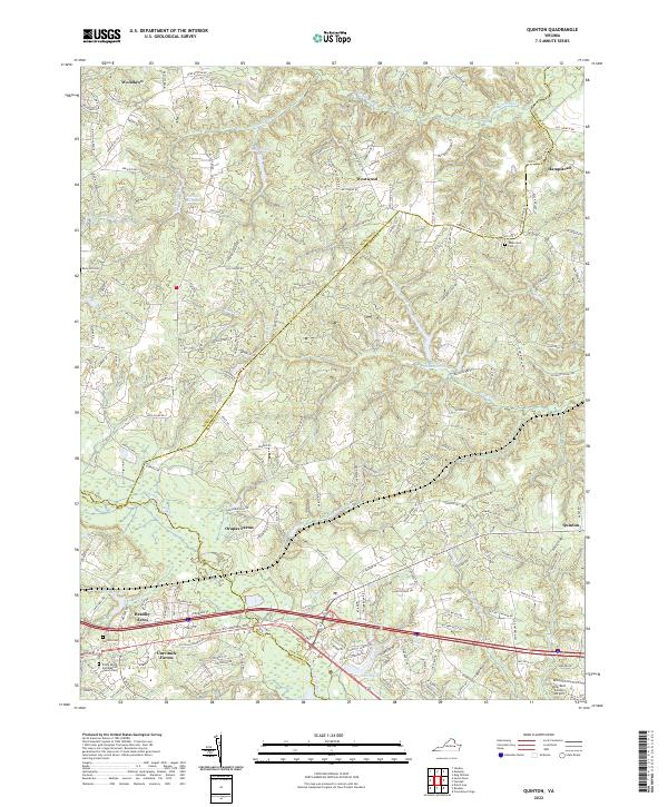
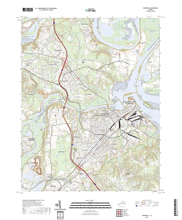
Layered geospatial PDF 7.5 Minute Quadrangle Map. Layers of geospatial data include orthoimagery, roads, grids, geographic names, elevation contours, hydrography, and other selected map features. This map is derived from GIS (geospatial information system) data. It represents a repackaging of GIS data in traditional map form, not creation of new information. The geospatial data in this map are from selected National Map data holdings and other government sources.
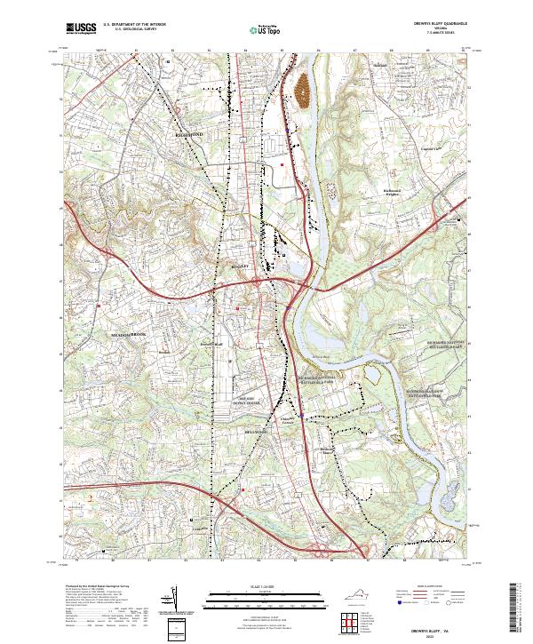
Tags: 7.5 x 7.5 minute,
Charles City County,
Chesterfield County,
City of Colonial Heights,
City of Hopewell, All tags...
Downloadable Data,
EarthCover,
Geospatial PDF,
Geospatial PDF,
Henrico County,
Hopewell, VA,
Imagery and Base Maps,
Map,
Prince George County,
Public Land Survey System,
U.S. National Grid,
US,
US Topo,
US Topo Historical,
Virginia,
boundary,
contour,
geographic names,
hydrography,
imageryBaseMapsEarthCover,
orthoimage,
structures,
topographic,
transportation,
woodland, Fewer tags
Layers of geospatial data include contours, boundaries, land cover, hydrography, roads, transportation, geographic names, structures, and other selected map features.
Types: Citation;
Tags: 7.5 x 7.5 minute,
7_5_Min,
Combined Vector,
Combined Vector,
Combined Vector, All tags...
Downloadable Data,
Esri File GeoDatabase 10,
FileGDB,
Hanover County,
Henrico County,
Public Land Survey System,
Richmond County,
Topo Map Vector Data,
US,
United States,
VA,
Virginia,
boundary,
contours,
geographic names,
hydrography,
structures,
transportation,
woodland, Fewer tags
Airborne magnetic data are provided here as part of the data release, 'Airborne magnetic and radiometric survey, Virginia and North Carolina Fall Zone, 2021.' This website includes the processed aeromagnetic data provided in an ascii .csv file and a geoTIFF image showing the total magnetic intensity. The contractor report is available on the parent page.
Categories: Data;
Types: Downloadable,
GeoTIFF,
Map Service,
Raster;
Tags: AASG,
Amelia County,
Association of State Geologists,
Bertie County,
Brunswick County, All tags...
Caroline County,
Charles City County,
Chesterfield County,
Colonial Heights County,
Cumberland County,
Dinwiddie County,
Downloadable,
EHP,
Earth Mapping Resources Initiative,
EarthMRI,
Earthquake Hazards Program,
Edgecombe County,
Emporia County,
Fluvanna County,
GGGSC,
GeoTIFF,
Geology, Geophysics, and Geochemistry Science Center,
Goochland County,
Greensville County,
Halifax County,
Hanover County,
Henrico County,
Hopewell County,
Louisa County,
MRP,
Map Service,
Martin County,
Mineral Resources Program,
NCGMP,
Nash County,
National Cooperative Geologic Mapping Program,
North Carolina,
Northampton County,
Nottoway County,
Petersburg,
Petersburg County,
Powhatan County,
Prince George County,
Rasters,
Richmond,
Richmond City County,
Rocky Mount,
Southampton County,
Sussex County,
U.S. Geological Survey,
USGS,
United States,
Virginia,
Warren County,
aeromagnetic surveying,
aeroradiometric surveying,
airborne geophysical survey,
economy,
economy,
geophysics,
geoscientific information,
geoscientificInformation,
geospatial datasets,
horizontal magnetic gradiometry,
magnetic field (earth),
potassium,
radon,
thorium,
uranium, Fewer tags
Layered geospatial PDF 7.5 Minute Quadrangle Map. Layers of geospatial data include orthoimagery, roads, grids, geographic names, elevation contours, hydrography, and other selected map features. This map is derived from GIS (geospatial information system) data. It represents a repackaging of GIS data in traditional map form, not creation of new information. The geospatial data in this map are from selected National Map data holdings and other government sources.
Tags: 7.5 x 7.5 minute,
Downloadable Data,
EarthCover,
Geospatial PDF,
Geospatial PDF, All tags...
Hanover County,
Henrico County,
Imagery and Base Maps,
Map,
New Kent County,
Public Land Survey System,
U.S. National Grid,
US,
US Topo,
US Topo Current,
Virginia,
boundary,
contour,
geographic names,
hydrography,
imageryBaseMapsEarthCover,
orthoimage,
structures,
topographic,
transportation,
woodland, Fewer tags
Layered geospatial PDF 7.5 Minute Quadrangle Map. Layers of geospatial data include orthoimagery, roads, grids, geographic names, elevation contours, hydrography, and other selected map features. This map is derived from GIS (geospatial information system) data. It represents a repackaging of GIS data in traditional map form, not creation of new information. The geospatial data in this map are from selected National Map data holdings and other government sources.
Tags: 7.5 x 7.5 minute,
Charles City County,
Chesterfield County,
Downloadable Data,
EarthCover, All tags...
Geospatial PDF,
Geospatial PDF,
Henrico County,
Imagery and Base Maps,
Map,
New Kent County,
Public Land Survey System,
Roxbury, VA,
U.S. National Grid,
US,
US Topo,
US Topo Historical,
Virginia,
boundary,
contour,
geographic names,
hydrography,
imageryBaseMapsEarthCover,
orthoimage,
structures,
topographic,
transportation,
woodland, Fewer tags
Layered geospatial PDF 7.5 Minute Quadrangle Map. Layers of geospatial data include orthoimagery, roads, grids, geographic names, elevation contours, hydrography, and other selected map features. This map is derived from GIS (geospatial information system) data. It represents a repackaging of GIS data in traditional map form, not creation of new information. The geospatial data in this map are from selected National Map data holdings and other government sources.
Tags: 7.5 x 7.5 minute,
Downloadable Data,
EarthCover,
Geospatial PDF,
Geospatial PDF, All tags...
Hanover County,
Henrico County,
Imagery and Base Maps,
Map,
Public Land Survey System,
U.S. National Grid,
US,
US Topo,
US Topo Historical,
Virginia,
Yellow Tavern, VA,
boundary,
contour,
geographic names,
hydrography,
imageryBaseMapsEarthCover,
orthoimage,
structures,
topographic,
transportation,
woodland, Fewer tags
Layers of geospatial data include contours, boundaries, land cover, hydrography, roads, transportation, geographic names, structures, and other selected map features.
Types: Citation;
Tags: 7.5 x 7.5 minute,
7_5_Min,
Charles City County,
Chesterfield County,
Combined Vector, All tags...
Combined Vector,
Combined Vector,
Downloadable Data,
Esri File GeoDatabase 10,
FileGDB,
Henrico County,
New Kent County,
Public Land Survey System,
Topo Map Vector Data,
US,
United States,
VA,
Virginia,
boundary,
contours,
geographic names,
hydrography,
structures,
transportation,
woodland, Fewer tags
Layers of geospatial data include contours, boundaries, land cover, hydrography, roads, transportation, geographic names, structures, and other selected map features.
Types: Citation;
Tags: 7.5 x 7.5 minute,
7_5_Min,
Charles City County,
Chesterfield County,
Combined Vector, All tags...
Combined Vector,
Combined Vector,
Downloadable Data,
Esri Shapefile,
Henrico County,
Public Land Survey System,
Shapefile,
Topo Map Vector Data,
US,
United States,
VA,
Virginia,
boundary,
contours,
geographic names,
hydrography,
structures,
transportation,
woodland, Fewer tags
Layers of geospatial data include contours, boundaries, land cover, hydrography, roads, transportation, geographic names, structures, and other selected map features.
Types: Citation;
Tags: 7.5 x 7.5 minute,
7_5_Min,
Combined Vector,
Combined Vector,
Combined Vector, All tags...
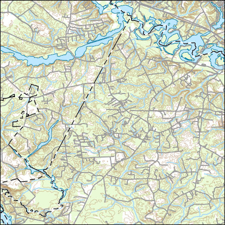
Downloadable Data,
Esri File GeoDatabase 10,
FileGDB,
Hanover County,
Henrico County,
New Kent County,
Public Land Survey System,
Topo Map Vector Data,
US,
United States,
VA,
Virginia,
boundary,
contours,
geographic names,
hydrography,
structures,
transportation,
woodland, Fewer tags
The National Hydrography Dataset (NHD) is a feature-based database that interconnects and uniquely identifies the stream segments or reaches that make up the nation's surface water drainage system. NHD data was originally developed at 1:100,000-scale and exists at that scale for the whole country. This high-resolution NHD, generally developed at 1:24,000/1:12,000 scale, adds detail to the original 1:100,000-scale NHD. (Data for Alaska, Puerto Rico and the Virgin Islands was developed at high-resolution, not 1:100,000 scale.) Local resolution NHD is being developed where partners and data exist. The NHD contains reach codes for networked features, flow direction, names, and centerline representations for areal water...
Categories: Data;
Types: ArcGIS REST Map Service,
ArcGIS Service Definition,
Downloadable,
Map Service;
Tags: Accomack County,
Adams County,
Administrative watershed units,
Alamance County,
Albemarle County, All tags...
Alexander County,
Alexandria City,
Allegany County,
Alleghany County,
Allegheny County,
Amelia County,
Amherst County,
Anderson County,
Appomattox County,
Area of Complex Channels,
Area to be submerged,
Arlington County,
Ashe County,
Athens County,
Augusta County,
Barbour County,
Basin,
Bath County,
Bay/Inlet,
Beaver County,
Bedford County,
Bell County,
Belmont County,
Berkeley County,
Bertie County,
Bland County,
Boone County,
Botetourt County,
Boundaries,
Boundary,
Boyd County,
Braxton County,
Breathitt County,
Bridge,
Bristol City,
Brooke County,
Brunswick County,
Buchanan County,
Buckingham County,
Buena Vista City,
Butler County,
Cabell County,
Caldwell County,
Calhoun County,
Camden County,
Campbell County,
Canal/Ditch,
Cape May County,
Caroline County,
Carroll County,
Carter County,
Caswell County,
Charles City City,
Charles County,
Charlotte County,
Charlottesville City,
Chesapeake City,
Chesterfield County,
Chowan County,
Claiborne County,
Clarke County,
Clay County,
Coastline,
Colonial Heights City,
Columbiana County,
Connector,
Covington City,
Craig County,
Culpeper County,
Cumberland County,
Currituck County,
DC,
DE,
Dam/Weir,
Danville City,
Dare County,
Davidson County,
Davie County,
Delaware,
Dickenson County,
Dinwiddie County,
District of Columbia,
District of Columbia Columbia,
Doddridge County,
Dorchester County,
Drainage areas for surface water,
Elliott County,
Emporia City,
Essex County,
Estuary,
Fairfax City,
Fairfax County,
Falls Church City,
Fauquier County,
Fayette County,
Flow direction network,
Floyd County,
Flume,
Fluvanna County,
ForeShore,
Forsyth County,
Franklin City,
Franklin County,
Frederick County,
Fredericksburg City,
Fulton County,
Gaging Station,
Galax City,
Gallia County,
Garrett County,
Gate,
Gates County,
Giles County,
Gilmer County,
Gloucester County,
Goochland County,
Grainger County,
Grant County,
Granville County,
Grayson County,
Greenbrier County,
Greene County,
Greensville County,
Greenup County,
Guernsey County,
Guilford County,
HU10,
HU12,
HU14,
HU16,
HU2,
HU4,
HU6,
HU8,
HUC,
Halifax County,
Hamblen County,
Hampshire County,
Hampton City,
Hancock County,
Hanover County,
Hardy County,
Harlan County,
Harrison County,
Harrisonburg City,
Hawkins County,
Hazard Zone,
Henrico County,
Henry County,
Hertford County,
Highland County,
Hocking County,
Hopewell City,
Huntingdon County,
Hyde County,
Hydrographic,
Hydrography,
Hydrography,
Hydrologic Unit Code,
Hydrologic Units,
Ice mass,
Inundation Area,
Iredell County,
Isle of Wight County,
Jackson County,
James City City,
Jefferson County,
Johnson County,
KY,
Kanawha County,
Kentucky,
King George County,
King William County,
King and Queen County,
Knott County,
Knox County,
Lancaster County,
Laurel County,
Lawrence County,
Lee County,
Leslie County,
Letcher County,
Levee,
Lewis County,
Lexington City,
Lincoln County,
Line,
Lock Chamber,
Logan County,
Loudoun County,
Louisa County,
Lunenburg County,
Lynchburg City,
MD,
Madison County,
Magoffin County,
Mahoning County,
Manassas City,
Manassas Park City,
Marion County,
Marsh,
Marshall County,
Martin County,
Martinsville City,
Maryland,
Mason County,
Mathews County,
McCreary County,
McDowell County,
Mecklenburg County,
Meigs County,
Mercer County,
Middlesex County,
Mineral County,
Mingo County,
Monongalia County,
Monroe County,
Montgomery County,
Morgan County,
NC,
NJ,
Nelson County,
New Jersey,
New Kent County,
Newport News City,
Nicholas County,
Noble County,
Nonearthen Shore,
Norfolk City,
North Carolina,
Northampton County,
Northumberland County,
Norton City,
Nottoway County,
OH,
Ohio,
Ohio County,
Orange County,
Orthoimage,
PA,
Page County,
Pasquotank County,
Patrick County,
Pendleton County,
Pennsylvania,
Perquimans County,
Perry County,
Person County,
Petersburg City,
Pike County,
Pittsylvania County,
Playa,
Pleasants County,
Pocahontas County,
Point,
PointEvent,
Pond,
Poquoson City,
Portsmouth City,
Powhatan County,
Preston County,
Prince Edward County,
Prince George County,
Prince George's County,
Prince William County,
Pulaski County,
Putnam County,
Radford City,
Raleigh County,
Randolph County,
Rapids,
Rappahannock County,
Reach,
Reach code,
Reef,
Region,
Reservoir,
Richmond City,
Richmond County,
Ritchie County,
Roane County,
Roanoke City,
Roanoke County,
Rock,
Rockbridge County,
Rockingham County,
Rowan County,
Russell County,
Salem City,
Scioto County,
Scott County,
Sea/Ocean,
Sevier County,
Shenandoah County,
Sink/Rise,
Smyth County,
Somerset County,
Sounding Datum Line,
Southampton County,
Special Use Zone,
Special Use Zone Limit,
Spillway,
Spotsylvania County,
St. Mary's County,
Stafford County,
Staunton City,
Stokes County,
Stream/River,
Sub-basin,
Sub-region,
Subbasin,
Submerged Stream,
Subregion,
Subwatershed,
Suffolk City,
Sullivan County,
Summers County,
Surry County,
Sussex County,
Swamp,
TN,
Taylor County,
Tazewell County,
Tennessee,
Topographic,
Tucker County,
Tunnel,
Tyler County,
Tyrrell County,
US,
Underground Conduit,
Union County,
United States,
Upshur County,
VA,
Vance County,
Vinton County,
Virginia,
Virginia Beach City,
WBD,
WV,
Wall,
Warren County,
Wash,
Washington County,
Watauga County,
Water Intake Outflow,
Waterfall,
Watershed,
Watershed Boundaries,
Watershed Boundary Dataset,
Wayne County,
Waynesboro City,
Webster County,
Well,
West Virginia,
Westmoreland County,
Wetzel County,
Whitley County,
Wicomico County,
Wilkes County,
Williamsburg City,
Winchester City,
Wirt County,
Wise County,
Wolfe County,
Wood County,
Worcester County,
Wyoming County,
Wythe County,
Yadkin County,
York County,
artificial path,
boundaries,
dams,
drainage systems and characteristics,
inlandWaters,
lakes,
ngda,
rivers,
stream,
surface water systems, Fewer tags
Layered geospatial PDF 7.5 Minute Quadrangle Map. Layers of geospatial data include orthoimagery, roads, grids, geographic names, elevation contours, hydrography, and other selected map features. This map is derived from GIS (geospatial information system) data. It represents a repackaging of GIS data in traditional map form, not creation of new information. The geospatial data in this map are from selected National Map data holdings and other government sources.
Tags: 7.5 x 7.5 minute,
Downloadable Data,
EarthCover,
Geospatial PDF,
Geospatial PDF, All tags...
Glen Allen, VA,
Hanover County,
Henrico County,
Imagery and Base Maps,
Map,
Public Land Survey System,
U.S. National Grid,
US,
US Topo,
US Topo Current,
Virginia,
boundary,
contour,
geographic names,
hydrography,
imageryBaseMapsEarthCover,
orthoimage,
structures,
topographic,
transportation,
woodland, Fewer tags
Layered geospatial PDF 7.5 Minute Quadrangle Map. Layers of geospatial data include orthoimagery, roads, grids, geographic names, elevation contours, hydrography, and other selected map features. This map is derived from GIS (geospatial information system) data. It represents a repackaging of GIS data in traditional map form, not creation of new information. The geospatial data in this map are from selected National Map data holdings and other government sources.
Tags: 7.5 x 7.5 minute,
Charles City County,
Chesterfield County,
City of Colonial Heights,
City of Hopewell, All tags...
Downloadable Data,
EarthCover,
Geospatial PDF,
Geospatial PDF,
Henrico County,
Imagery and Base Maps,
Map,
Prince George County,
Public Land Survey System,
U.S. National Grid,
US,
US Topo,
US Topo Current,
Virginia,
boundary,
contour,
geographic names,
hydrography,
imageryBaseMapsEarthCover,
orthoimage,
structures,
topographic,
transportation,
woodland, Fewer tags
|
|