Filters: Tags: Grand Bay (X)
18 results (18ms)|
Filters
Date Range
Types Contacts
Categories Tag Types
|
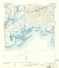
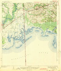
USGS Historical Quadrangle in GeoPDF.
Suspended-sediment transport is a critical element governing the geomorphology of tidal marshes and estuaries. Marsh elevation, relative to sea level, is maintained by both organic material and the deposition of inorganic sediment. Additionally, horizontal marsh extent is altered by lateral erosion and accretion. In wetlands within and near Grand Bay National Estuarine Research Reserve, parts of the salt marsh are eroding relatively rapidly. To understand the connection between sediment fluxes and these processes, the U.S. Geological Survey made oceanographic and water-quality measurements from August 2, 2016, to January 28, 2017, to quantify suspended-sediment concentration and sediment transport in tidal channels...
Categories: Data;
Tags: Bayou Heron,
Bayou Middle,
Geomorphology,
Grand Bay,
Grand Bay National Estuarine Research Reserve,
This data set contains imagery from the National Agriculture Imagery Program (NAIP). The NAIP program is administered by USDA FSA and has been established to support two main FSA strategic goals centered on agricultural production. These are, increase stewardship of America's natural resources while enhancing the environment, and to ensure commodities are procured and distributed effectively and efficiently to increase food security. The NAIP program supports these goals by acquiring and providing ortho imagery that has been collected during the agricultural growing season in the U.S. The NAIP ortho imagery is tailored to meet FSA requirements and is a fundamental tool used to support FSA farm and conservation programs....
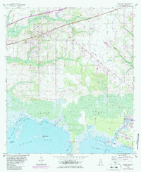
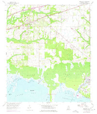
USGS Historical Quadrangle in GeoPDF.
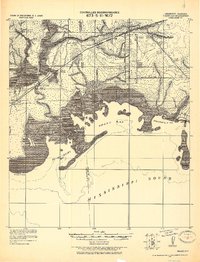
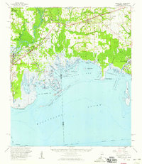
USGS Historical Quadrangle in GeoPDF.
The northern Gulf of Mexico coast spans two major climate gradients and represents an excellent natural laboratory for developing climate-influenced ecological models. In this project, we used these zones of remarkable transition to develop macroclimate-based models for quantifying the regional responses of coastal wetland ecosystems to climate variation. In addition to providing important fish and wildlife habitat and supporting coastal food webs, these coastal wetlands provide many ecosystem goods and services including clean water, stable coastlines, food, recreational opportunities, and stored carbon. Our objective was to examine and forecast the effects of macroclimatic drivers on wetland ecosystem structure...
Categories: Data;
Types: Citation;
Tags: Corpus Christi,
Galveston,
Grand Bay,
Gulf of Mexico,
Laguna Madre,
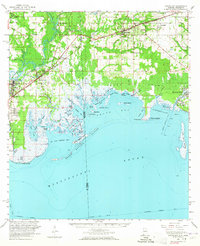
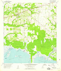
USGS Historical Quadrangle in GeoPDF.
USGS Historical Quadrangle in GeoPDF.
The CAGES program (Comparative Assessment of Gulf Estuarine Systems) is designed to examine the differences between estuarine ecosystems and investigate why some are more productive than others. The program focuses on estuarine areas important to commercial fisheries and includes data on commercial finfish and invertebrate species, as well as other species commonly captured in trawl sampling. This Louisiana dataset is a subset of the CAGES Relational Database which is a compilation of fishery-independent data contributed by natural resource agencies of the Gulf States (Texas, Louisiana, Mississippi, Alabama, and Florida). This data set includes data from trawls collected by the Alabama Department of Conservation...
Categories: Data;
Tags: Alabama,
Alabama Department of Conservation and Natural Resources,
Annelida,
Arnica Bay,
Bay Minette Creek,
USGS Historical Quadrangle in GeoPDF.
USGS Historical Quadrangle in GeoPDF.
Grand Bay, a 30-square-kilometer embayment of the Gulf of Mexico bordered by 20 square kilometers of salt marsh, is experiencing rapid lateral shoreline erosion at up to 5 meters per year. Determining whether the eroded sediment is exported to the deep ocean or imported via tidal channels and deposited on the marsh platform is critical to understanding the long-term response of the marsh to wave attack and sea-level rise. Quantifying water-column sediment flux helps to characterize the role of tidal channels in this process, and water discharge is a key component of sediment flux. To that end, discharge was measured repeatedly over consecutive diurnal tidal cycles in the tidal channels of Bayou Heron and Bayou Middle,...
The northern Gulf of Mexico coast spans two major climate gradients and represents an excellent natural laboratory for developing climate-influenced ecological models. In this project, we used these zones of remarkable transition to develop macroclimate-based models for quantifying the regional responses of coastal wetland ecosystems to climate variation. In addition to providing important fish and wildlife habitat and supporting coastal food webs, these coastal wetlands provide many ecosystem goods and services including clean water, stable coastlines, food, recreational opportunities, and stored carbon. Our objective was to examine and forecast the effects of macroclimatic drivers on wetland ecosystem structure...
Categories: Data;
Types: Citation;
Tags: Corpus Christi,
Galveston,
Grand Bay,
Gulf of Mexico,
Laguna Madre,
This data set contains imagery from the National Agriculture Imagery Program (NAIP). The NAIP program is administered by USDA FSA and has been established to support two main FSA strategic goals centered on agricultural production. These are, increase stewardship of America's natural resources while enhancing the environment, and to ensure commodities are procured and distributed effectively and efficiently to increase food security. The NAIP program supports these goals by acquiring and providing ortho imagery that has been collected during the agricultural growing season in the U.S. The NAIP ortho imagery is tailored to meet FSA requirements and is a fundamental tool used to support FSA farm and conservation programs....
This data set contains imagery from the National Agriculture Imagery Program (NAIP). The NAIP program is administered by USDA FSA and has been established to support two main FSA strategic goals centered on agricultural production. These are, increase stewardship of America's natural resources while enhancing the environment, and to ensure commodities are procured and distributed effectively and efficiently to increase food security. The NAIP program supports these goals by acquiring and providing ortho imagery that has been collected during the agricultural growing season in the U.S. The NAIP ortho imagery is tailored to meet FSA requirements and is a fundamental tool used to support FSA farm and conservation programs....
USGS Historical Quadrangle in GeoPDF.
This data set contains imagery from the National Agriculture Imagery Program (NAIP). The NAIP program is administered by USDA FSA and has been established to support two main FSA strategic goals centered on agricultural production. These are, increase stewardship of America's natural resources while enhancing the environment, and to ensure commodities are procured and distributed effectively and efficiently to increase food security. The NAIP program supports these goals by acquiring and providing ortho imagery that has been collected during the agricultural growing season in the U.S. The NAIP ortho imagery is tailored to meet FSA requirements and is a fundamental tool used to support FSA farm and conservation programs....
|

|
