Filters: Tags: GLOBE (X)
60 results (16ms)|
Filters
|
This data bundle contains some of the inputs, all of the processing instructions and all outputs from a single VisTrails/SAHM workflow. This model specifically includes location data for Bombina orientalis and random background locations. Predictors include climatic, topographic, and land cover rasters. The three bundle documentation files are: 1) '_archive_bundle_metadata.xml' which contains FGDC metadata describing the archive bundle. 2) '_archive_raster_inputs.csv' a list of the raster inputs that were used to generate these model results. These are not included in the archive bundle due to size constraints but are identified in this file as well as the metadata document. 3) '_archive_workflow_Final runs.vt'...
Types: Citation;
Tags: Earth,
Globe,
SAHM,
Software for Assisted Habitat Modeling,
Species Distribution modeling,
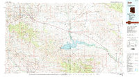
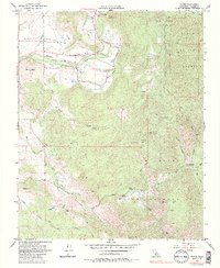
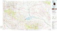
USGS Historical Quadrangle in GeoPDF.
USGS Historical Quadrangle in GeoPDF.
USGS Historical Quadrangle in GeoPDF.
This data set contains imagery from the National Agriculture Imagery Program (NAIP). The NAIP program is administered by USDA FSA and has been established to support two main FSA strategic goals centered on agricultural production. These are, increase stewardship of America's natural resources while enhancing the environment, and to ensure commodities are procured and distributed effectively and efficiently to increase food security. The NAIP program supports these goals by acquiring and providing ortho imagery that has been collected during the agricultural growing season in the U.S. The NAIP ortho imagery is tailored to meet FSA requirements and is a fundamental tool used to support FSA farm and conservation programs....

This is aggregated results from a run of the MC1 model (MC1_GLOBAL version). The GCM data were downscaled to a half degree grid resolution using an anomaly approach. The baseline historical data was based on CRU TS 2.0 climate. For this map percent change was calculated as: (((Future-Historical)/Historical)*100) Where Future is the average value for 2070-2099 and Historical is the average value for 1961-1990. See related datasets: http://app.databasin.org/app/pages/galleryPage.jsp?id=f7eee62457f641dd85016b7fec7e7c67
Tags: globe,
vegetation carbon
This data set contains imagery from the National Agriculture Imagery Program (NAIP). The NAIP program is administered by USDA FSA and has been established to support two main FSA strategic goals centered on agricultural production. These are, increase stewardship of America's natural resources while enhancing the environment, and to ensure commodities are procured and distributed effectively and efficiently to increase food security. The NAIP program supports these goals by acquiring and providing ortho imagery that has been collected during the agricultural growing season in the U.S. The NAIP ortho imagery is tailored to meet FSA requirements and is a fundamental tool used to support FSA farm and conservation programs....
This data set contains imagery from the National Agriculture Imagery Program (NAIP). The NAIP program is administered by USDA FSA and has been established to support two main FSA strategic goals centered on agricultural production. These are increase stewardship of America's natural resources while enhancing the environment, and to ensure commodities are procured and distributed effectively and efficiently to increase food security. The NAIP program supports these goals by acquiring and providing ortho imagery that has been collected during the agricultural growing season in the U.S. The NAIP ortho imagery is tailored to meet FSA requirements and is a fundamental tool used to support FSA farm and conservation programs....
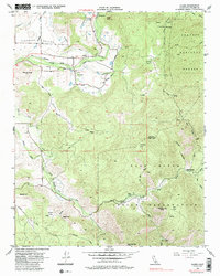
USGS Historical Quadrangle in GeoPDF.
USGS Historical Quadrangle in GeoPDF.
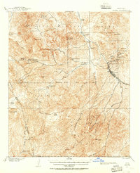
USGS Historical Quadrangle in GeoPDF.
This data set contains imagery from the National Agriculture Imagery Program (NAIP). The NAIP program is administered by USDA FSA and has been established to support two main FSA strategic goals centered on agricultural production. These are, increase stewardship of America's natural resources while enhancing the environment, and to ensure commodities are procured and distributed effectively and efficiently to increase food security. The NAIP program supports these goals by acquiring and providing ortho imagery that has been collected during the agricultural growing season in the U.S. The NAIP ortho imagery is tailored to meet FSA requirements and is a fundamental tool used to support FSA farm and conservation programs....

These results come from the GLOBAL version of MC1. MC1 is a dynamic vegetation model for estimating the distribution of vegetation and associated ecosystem fluxes of carbon, nutrients, and water. It was created to assess the potential impacts of global climate change on ecosystem structure and function at a wide range of spatial scales from landscape to global. The model incorporates transient dynamics to make predictions about the patterns of ecological change. MC1 was created by combining physiologically based biogeographic rules defined in the MAPSS model with a modified version of the biogeochemical model, CENTURY. MC1 includes a fire module, MCFIRE, that mechanistically simulates the occurrence and impacts...
Tags: globe,
vegetation type
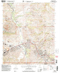
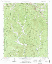
USGS Historical Quadrangle in GeoPDF.

USGS Historical Quadrangle in GeoPDF.

These results come from the GLOBAL version of MC1. MC1 is a dynamic vegetation model for estimating the distribution of vegetation and associated ecosystem fluxes of carbon, nutrients, and water. It was created to assess the potential impacts of global climate change on ecosystem structure and function at a wide range of spatial scales from landscape to global. The model incorporates transient dynamics to make predictions about the patterns of ecological change. MC1 was created by combining physiologically based biogeographic rules defined in the MAPSS model with a modified version of the biogeochemical model, CENTURY. MC1 includes a fire module, MCFIRE, that mechanistically simulates the occurrence and impacts...
Tags: globe,
vegetation type

This is aggregated results from a run of the MC1 model (MC1_GLOBAL version). The GCM data were downscaled to a half degree grid resolution using an anomaly approach. The baseline historical data was based on CRU TS 2.0 climate. For this map percent change was calculated as: (((Future-Historical)/Historical)*100) Where Future is the average value for 2070-2099 and Historical is the average value for 1961-1990. See related datasets: http://app.databasin.org/app/pages/galleryPage.jsp?id=f7eee62457f641dd85016b7fec7e7c67
Tags: globe,
vegetation carbon
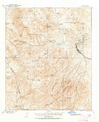
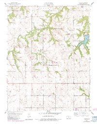
USGS Historical Quadrangle in GeoPDF.
USGS Historical Quadrangle in GeoPDF.

This is aggregated results from a run of the MC1 model (MC1_GLOBAL version). The GCM data were downscaled to a half degree grid resolution using an anomaly approach. The baseline historical data was based on CRU TS 2.0 climate. For this map percent change was calculated as: (((Future-Historical)/Historical)*100) Where Future is the average value for 2070-2099 and Historical is the average value for 1961-1990. See related datasets: http://app.databasin.org/app/pages/galleryPage.jsp?id=f7eee62457f641dd85016b7fec7e7c67
Tags: globe,
vegetation carbon
|

|
