Filters: Tags: Fraser (X)
29 results (22ms)|
Filters
Date Range
Types Contacts
Categories Tag Types Tag Schemes |
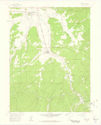
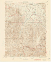
USGS Historical Quadrangle in GeoPDF.
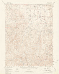
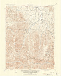
USGS Historical Quadrangle in GeoPDF.
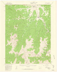
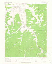
USGS Historical Quadrangle in GeoPDF.
This data set contains imagery from the National Agriculture Imagery Program (NAIP). The NAIP program is administered by USDA FSA and has been established to support two main FSA strategic goals centered on agricultural production. These are, increase stewardship of America's natural resources while enhancing the environment, and to ensure commodities are procured and distributed effectively and efficiently to increase food security. The NAIP program supports these goals by acquiring and providing ortho imagery that has been collected during the agricultural growing season in the U.S. The NAIP ortho imagery is tailored to meet FSA requirements and is a fundamental tool used to support FSA farm and conservation programs....
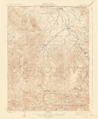
USGS Historical Quadrangle in GeoPDF.
USGS Historical Quadrangle in GeoPDF.
This data set contains imagery from the National Agriculture Imagery Program (NAIP). The NAIP program is administered by USDA FSA and has been established to support two main FSA strategic goals centered on agricultural production. These are, increase stewardship of America's natural resources while enhancing the environment, and to ensure commodities are procured and distributed effectively and efficiently to increase food security. The NAIP program supports these goals by acquiring and providing ortho imagery that has been collected during the agricultural growing season in the U.S. The NAIP ortho imagery is tailored to meet FSA requirements and is a fundamental tool used to support FSA farm and conservation programs....
USGS Historical Quadrangle in GeoPDF.
This data release consists of three child items distinguishing the following types of data: light detection and ranging (lidar) point clouds (LPCs), digital elevation models (DEMs), and snow depth raster maps. These three data types are all derived from lidar data collected on small, uncrewed aircraft systems (sUAS) at study areas in the Upper Colorado River Basin, Colorado, from 2020 to 2022. These data were collected and generated as part of the U.S. Geological Survey's (USGS) Next Generation Water Observing Systems (NGWOS) Upper Colorado River Basin project.
This data set contains imagery from the National Agriculture Imagery Program (NAIP). The NAIP program is administered by USDA FSA and has been established to support two main FSA strategic goals centered on agricultural production. These are, increase stewardship of America's natural resources while enhancing the environment, and to ensure commodities are procured and distributed effectively and efficiently to increase food security. The NAIP program supports these goals by acquiring and providing ortho imagery that has been collected during the agricultural growing season in the U.S. The NAIP ortho imagery is tailored to meet FSA requirements and is a fundamental tool used to support FSA farm and conservation programs....
This data set contains imagery from the National Agriculture Imagery Program (NAIP). The NAIP program is administered by USDA FSA and has been established to support two main FSA strategic goals centered on agricultural production. These are, increase stewardship of America's natural resources while enhancing the environment, and to ensure commodities are procured and distributed effectively and efficiently to increase food security. The NAIP program supports these goals by acquiring and providing ortho imagery that has been collected during the agricultural growing season in the U.S. The NAIP ortho imagery is tailored to meet FSA requirements and is a fundamental tool used to support FSA farm and conservation programs....
USGS Historical Quadrangle in GeoPDF.
These digital elevation models (DEMs) were generated from light detection and ranging (lidar) point clouds (LPCs) derived from lidar data collected during multiple field campaigns at three study areas near Winter Park, Colorado. Small, uncrewed aircraft systems (sUAS) were used to collect lidar datasets to represent snow-covered and snow-free periods.
Landscape carbon (C) flux estimates are necessary for assessing the ability of terrestrial ecosystems to buffer further increases in anthropogenic carbon dioxide (CO2) emissions. Advances in remote sensing have allowed for coarse-scale estimates of gross primary productivity (GPP) (e.g., MODIS 17), yet efforts to assess spatial patterns in respiration lag behind those of GPP. Here, we demonstrate a method to predict growing season soil respiration at a regional scale in a forested ecosystem. We related field measurements (n=144) of growing season soil respiration across subalpine forests in the Southern Rocky Mountains ecoregion to a suite of biophysical predictors with a Random Forest model (30 m pixel size). We...
USGS Historical Quadrangle in GeoPDF.
USGS Historical Quadrangle in GeoPDF.
USGS Historical Quadrangle in GeoPDF.
These light detection and ranging (lidar) point clouds (LPCs) were generated from lidar data collected during multiple field campaigns in three study areas near Winter Park, Colorado. Small, uncrewed aircraft systems (sUAS) collected lidar datasets to represent snow-covered and snow-free periods. More information regarding the sUAS used and data collection methods can be found in the Supplemental Information and process step sections of each study area metadata file.
|

|
