Filters: Tags: Cottonwood (X)
212 results (34ms)|
Filters
Date Range
Extensions Types Contacts
Categories Tag Types
|
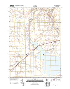
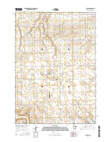
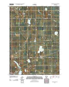
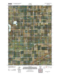
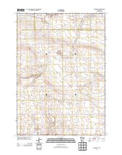
Layered GeoPDF 7.5 Minute Quadrangle Map. Layers of geospatial data include orthoimagery, roads, grids, geographic names, elevation contours, hydrography, and other selected map features.
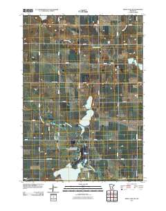
Layered GeoPDF 7.5 Minute Quadrangle Map. Layers of geospatial data include orthoimagery, roads, grids, geographic names, elevation contours, hydrography, and other selected map features.
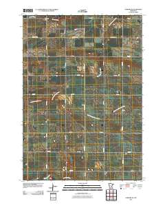
Layered GeoPDF 7.5 Minute Quadrangle Map. Layers of geospatial data include orthoimagery, roads, grids, geographic names, elevation contours, hydrography, and other selected map features.
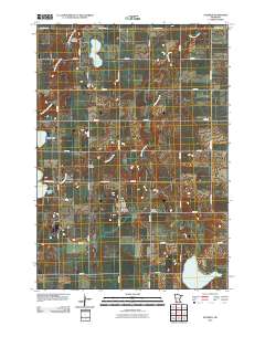
Layered GeoPDF 7.5 Minute Quadrangle Map. Layers of geospatial data include orthoimagery, roads, grids, geographic names, elevation contours, hydrography, and other selected map features.
Layered geospatial PDF Map. Layers of geospatial data include orthoimagery, roads, grids, geographic names, elevation contours, hydrography, and other selected map features.
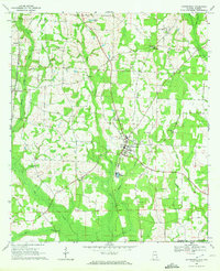
USGS Historical Quadrangle in GeoPDF.
These data represent nuclear microsatellite data collected from four riparian plant species that occur in and around Grand Canyon National Park: Populus fremontii (POFR), Salix gooddingii (SAGO), Salix exigua (SAEX), and Prosopis glandulosa (PRGL). These data were collected for population genetic analysis to help inform native plant material development in Grand Canyon National Park. Leaf samples were collected at sites spanning 470 km of the Colorado River between Glen Canyon Dam and Lake Mead and in tributaries. Known revegetation areas were not sampled. We aimed to collect leaf tissue from at least 15 individuals at each sample site. If there were fewer than 15 individuals per species at a site, leaf tissue was...
Rivers in the SRLCC differ from one another in flow characteristics, levels of regulation, and vulnerability to wildfire; characteristics that will be influenced by climate change (Seager et al. 2007, Mortiz et al. 2012). An understanding of how changes in streamflow and wildfire frequency will affect structure of live and dead woody vegetation is needed to for managers assess the vulnerability of riparian obligate species to climate change. We are developing stochastic transition models for cottonwood trees and snags along the Middle Rio Grande by modifying Lytle and Merritts (2004) stage-structured cottonwood population model. By incorporating influences of flood and wildfire into stage transition rates, we can...
Categories: Data,
Project;
Types: Downloadable,
Map Service,
OGC WFS Layer,
OGC WMS Layer,
OGC WMS Service;
Tags: Conservation NGOs,
Cultural Resources,
Decision Support,
EARTH SCIENCE > LAND SURFACE > LANDSCAPE,
Federal resource managers,
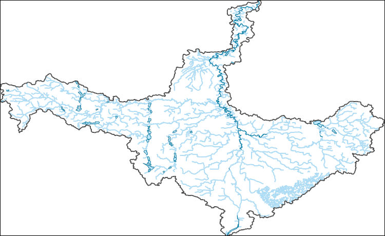
The National Hydrography Dataset (NHD) is a feature-based database that interconnects and uniquely identifies the stream segments or reaches that make up the nation's surface water drainage system. NHD data was originally developed at 1:100,000-scale and exists at that scale for the whole country. This high-resolution NHD, generally developed at 1:24,000/1:12,000 scale, adds detail to the original 1:100,000-scale NHD. (Data for Alaska, Puerto Rico and the Virgin Islands was developed at high-resolution, not 1:100,000 scale.) Local resolution NHD is being developed where partners and data exist. The NHD contains reach codes for networked features, flow direction, names, and centerline representations for areal water...
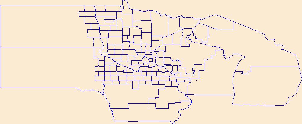
Geospatial data is comprised of government boundaries.
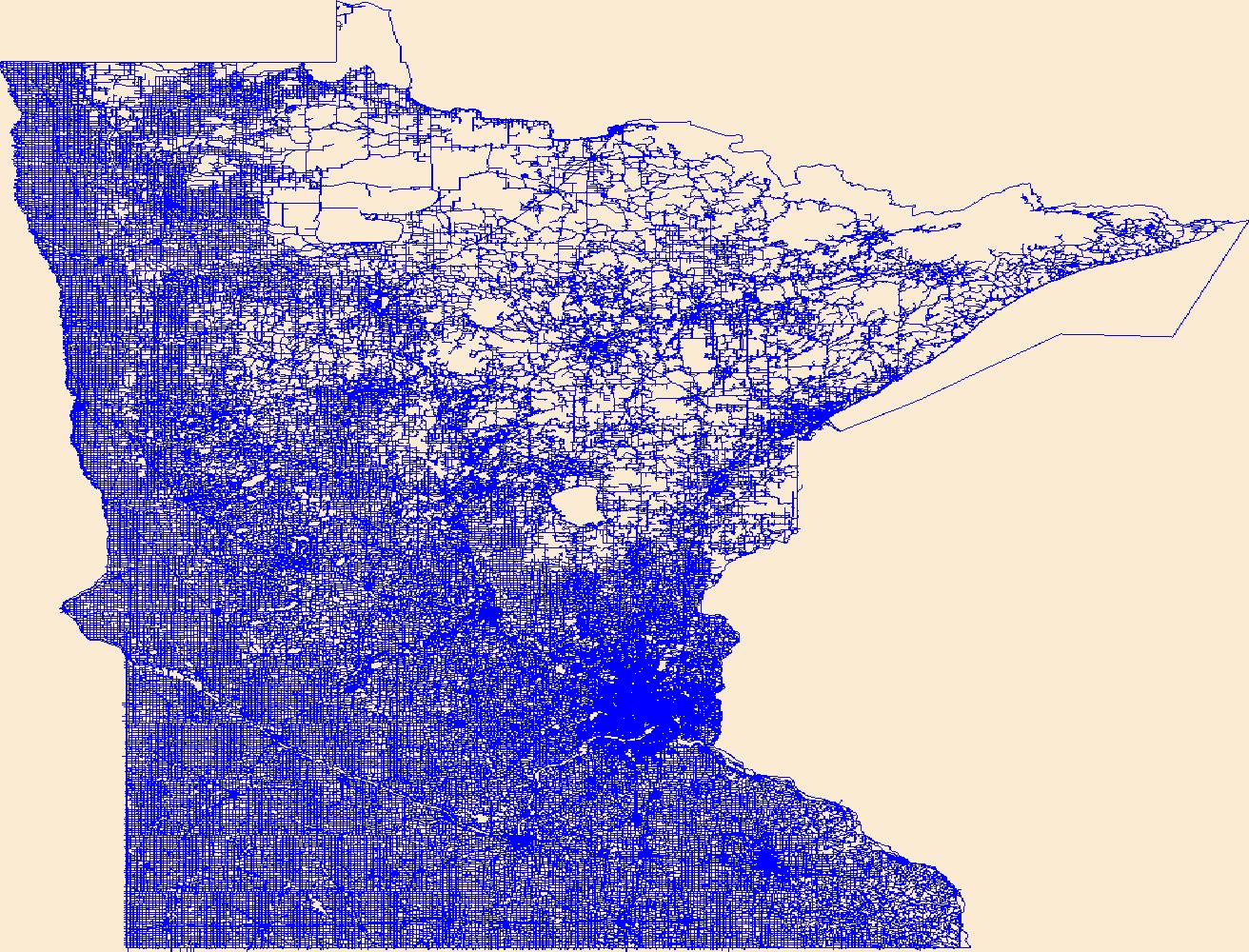
Layers of geospatial data include roads, airports, trails, and railroads.
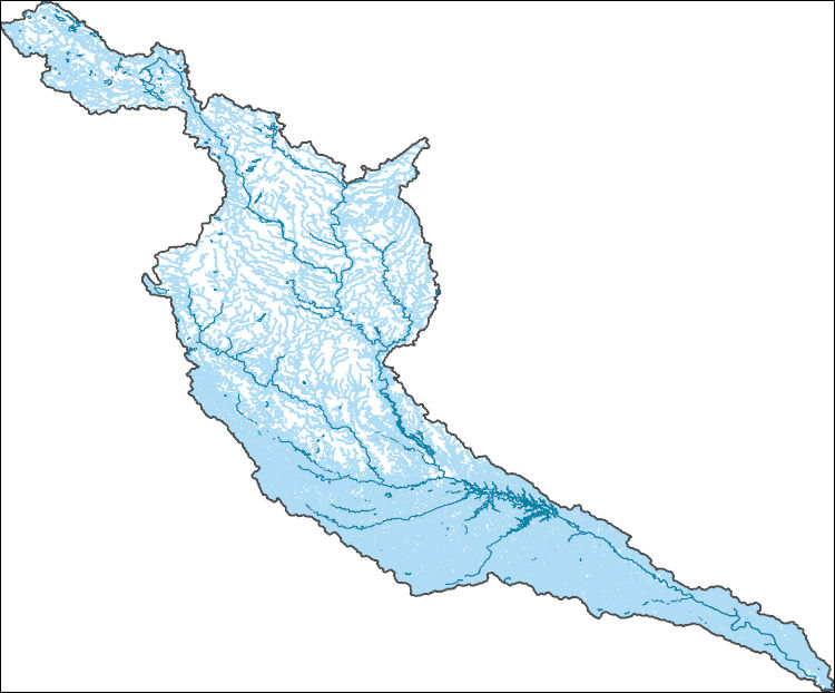
The National Hydrography Dataset (NHD) is a feature-based database that interconnects and uniquely identifies the stream segments or reaches that make up the nation's surface water drainage system. NHD data was originally developed at 1:100,000-scale and exists at that scale for the whole country. This high-resolution NHD, generally developed at 1:24,000/1:12,000 scale, adds detail to the original 1:100,000-scale NHD. (Data for Alaska, Puerto Rico and the Virgin Islands was developed at high-resolution, not 1:100,000 scale.) Local resolution NHD is being developed where partners and data exist. The NHD contains reach codes for networked features, flow direction, names, and centerline representations for areal water...
Perennial streams in the Desert LCC support riparian trees such as cottonwood (Populus spp) and box elder (Acer negundo) that are critical components of habitat for riparian obligate birds and other wildlife species (Webb et al. 2007). Trees, snags, and fallen woody debris provide nesting and foraging sites for a variety of riparian animals (Bateman et al. 2008, Smith et al. 2012). Riparian trees require occasional floods to create space suitable for germination and are dependent on accessible groundwater for growth and survival (Lytle and Merritt 2004). Studies along the Middle Rio Grande in New Mexico have shown that rates of woody debris accumulation are also influenced by hydrology because floods physically...
Categories: Data,
Project;
Types: Map Service,
OGC WFS Layer,
OGC WMS Layer,
OGC WMS Service;
Tags: 2012,
Acer negundo,
Applications and Tools,
Decision Support,
Desert Landscape Conservation Cooperative,
This data set contains imagery from the National Agriculture Imagery Program (NAIP). The NAIP program is administered by USDA FSA and has been established to support two main FSA strategic goals centered on agricultural production. These are, increase stewardship of America's natural resources while enhancing the environment, and to ensure commodities are procured and distributed effectively and efficiently to increase food security. The NAIP program supports these goals by acquiring and providing ortho imagery that has been collected during the agricultural growing season in the U.S. The NAIP ortho imagery is tailored to meet FSA requirements and is a fundamental tool used to support FSA farm and conservation programs....
This data set contains imagery from the National Agriculture Imagery Program (NAIP). The NAIP program is administered by USDA FSA and has been established to support two main FSA strategic goals centered on agricultural production. These are, increase stewardship of America's natural resources while enhancing the environment, and to ensure commodities are procured and distributed effectively and efficiently to increase food security. The NAIP program supports these goals by acquiring and providing ortho imagery that has been collected during the agricultural growing season in the U.S. The NAIP ortho imagery is tailored to meet FSA requirements and is a fundamental tool used to support FSA farm and conservation programs....
This data set contains imagery from the National Agriculture Imagery Program (NAIP). The NAIP program is administered by USDA FSA and has been established to support two main FSA strategic goals centered on agricultural production. These are, increase stewardship of America's natural resources while enhancing the environment, and to ensure commodities are procured and distributed effectively and efficiently to increase food security. The NAIP program supports these goals by acquiring and providing ortho imagery that has been collected during the agricultural growing season in the U.S. The NAIP ortho imagery is tailored to meet FSA requirements and is a fundamental tool used to support FSA farm and conservation programs....
Elaeagnus angustifolia L., a nonnative N2-fixer, has established within riparian corridors of the interior western United States and is now the fourth most frequently occurring woody riparian plant in this region. We examined whether E. angustifolia alters pools and fluxes of soil inorganic N at eight sites dominated by Populus deltoides ssp. wislizeni along the Rio Grande in New Mexico over 2 years. E. angustifolia contributed a small fraction of total leaf fall (<5% across sites) but accounted for a disproportionately high amount of N (19%) that entered the system from P. deltoides and E. angustifolia leaf fall, due to the high N content (>2%) of E. angustifolia senesced leaves. Soil inorganic N concentrations...
Categories: Publication;
Types: Citation,
Journal Citation;
Tags: Ecosystems,
Elaeagnus angustifolia,
Populus deltoides,
Russian olive,
Springer New York,
Layered GeoPDF 7.5 Minute Quadrangle Map. Layers of geospatial data include orthoimagery, roads, grids, geographic names, elevation contours, hydrography, and other selected map features.
Layered GeoPDF 7.5 Minute Quadrangle Map. Layers of geospatial data include orthoimagery, roads, grids, geographic names, elevation contours, hydrography, and other selected map features.
Layered GeoPDF 7.5 Minute Quadrangle Map. Layers of geospatial data include orthoimagery, roads, grids, geographic names, elevation contours, hydrography, and other selected map features.
|

|
