Filters: Tags: Water (X) > partyWithName: U.S. Geological Survey, National Geospatial Technical Operations Center (X)
125 results (95ms)|
Filters
Date Range
Extensions Types Contacts
Categories Tag Types Tag Schemes |

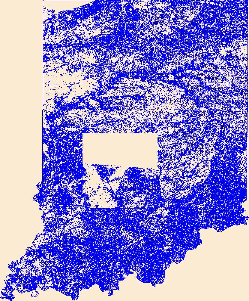
Geospatial data that is a derivative land cover product depicting woodland on topographic maps.

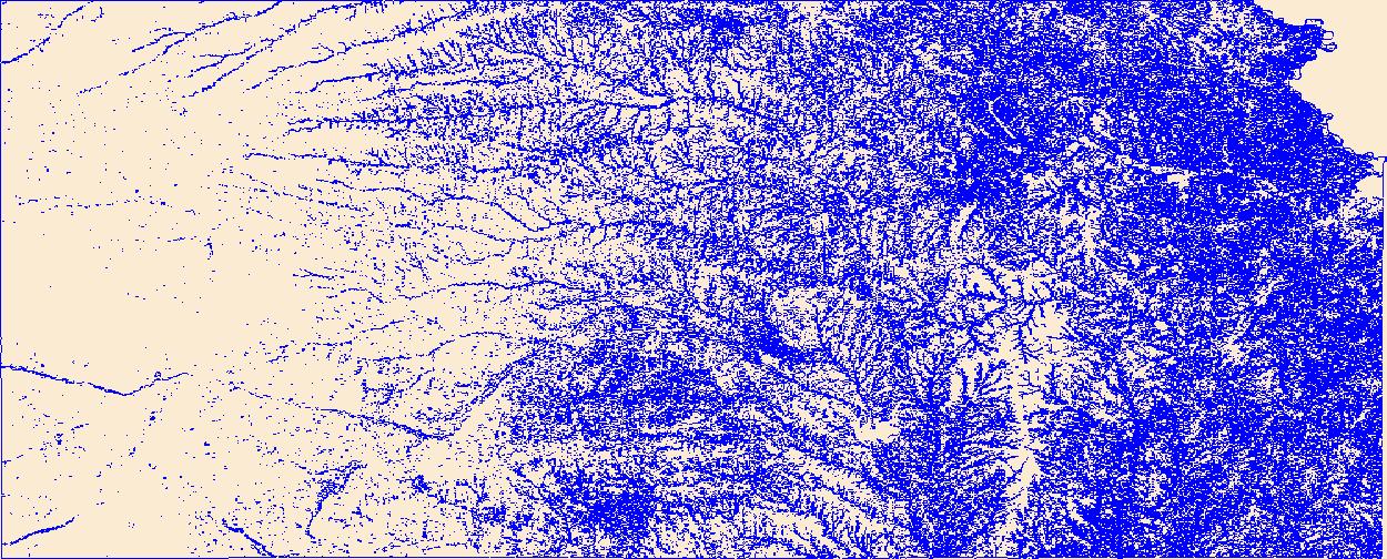
Geospatial data that is a derivative land cover product depicting woodland on topographic maps.

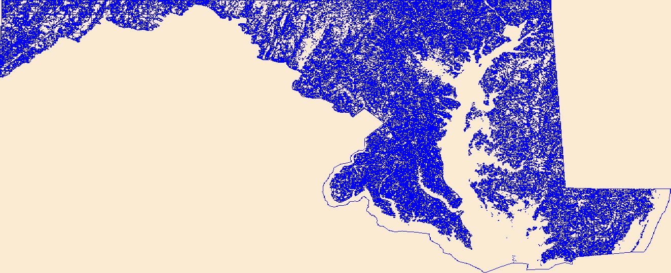
Geospatial data that is a derivative land cover product depicting woodland on topographic maps.

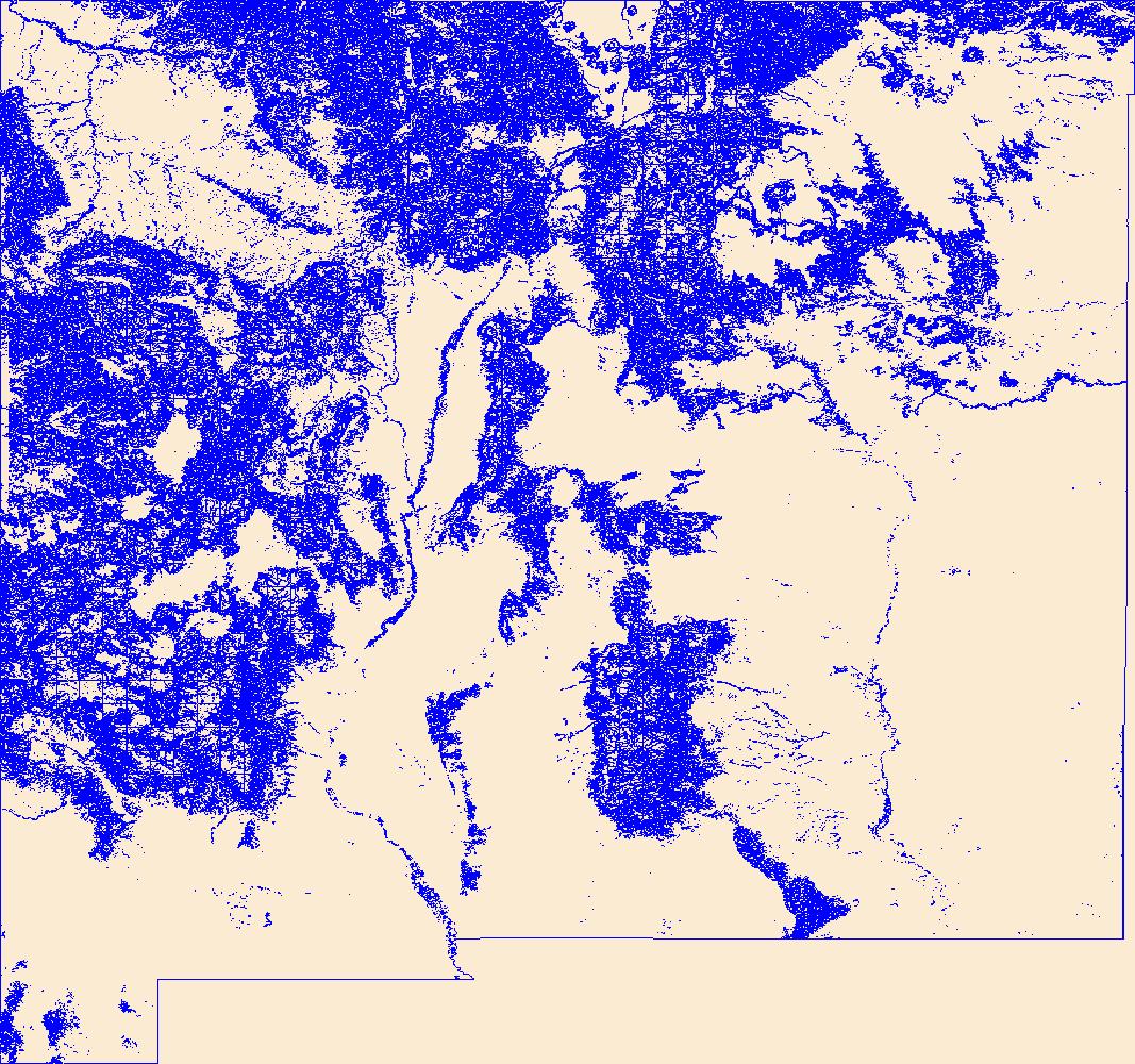
Geospatial data that is a derivative land cover product depicting woodland on topographic maps.

Geospatial data that is a derivative land cover product depicting woodland on topographic maps.

Geospatial data that is a derivative land cover product depicting woodland on topographic maps.

Geospatial data that is a derivative land cover product depicting woodland on topographic maps.

Geospatial data that is a derivative land cover product depicting woodland on topographic maps.

Geospatial data that is a derivative land cover product depicting woodland on topographic maps.

Geospatial data that is a derivative land cover product depicting woodland on topographic maps.

Geospatial data that is a derivative land cover product depicting woodland on topographic maps.
Geospatial data that is a derivative land cover product depicting woodland on topographic maps.
Geospatial data that is a derivative land cover product depicting woodland on topographic maps.
Geospatial data that is a derivative land cover product depicting woodland on topographic maps.
Geospatial data that is a derivative land cover product depicting woodland on topographic maps.
Geospatial data that is a derivative land cover product depicting woodland on topographic maps.

The Watershed Boundary Dataset (WBD) from The National Map (TNM) defines the perimeter of drainage areas formed by the terrain and other landscape characteristics. The drainage areas are nested within each other so that a large drainage area, such as the Upper Mississippi River, will be composed of multiple smaller drainage areas, such as the Wisconsin River. Each of these smaller areas can further be subdivided into smaller and smaller drainage areas. The WBD uses six different levels in this hierarchy, with the smallest averaging about 30,000 acres. The WBD is made up of polygons nested into six levels of data respectively defined by Regions, Subregions, Basins, Subbasins, Watersheds, and Subwatersheds. For additional...
Geospatial data that is a derivative land cover product depicting woodland on topographic maps.

USGS developed The National Map (TNM) Gazetteer as the Federal and national standard (ANSI INCITS 446-2008) for geographic nomenclature based on the Geographic Names Information System (GNIS). The National Map Gazetteer contains information about physical and cultural geographic features, geographic areas, and locational entities that are generally recognizable and locatable by name (have achieved some landmark status) and are of interest to any level of government or to the public for any purpose that would lead to the representation of the feature in printed or electronic maps and/or geographic information systems. The dataset includes features of all types in the United States, its associated areas, and Antarctica,...

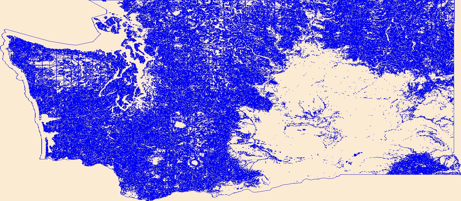
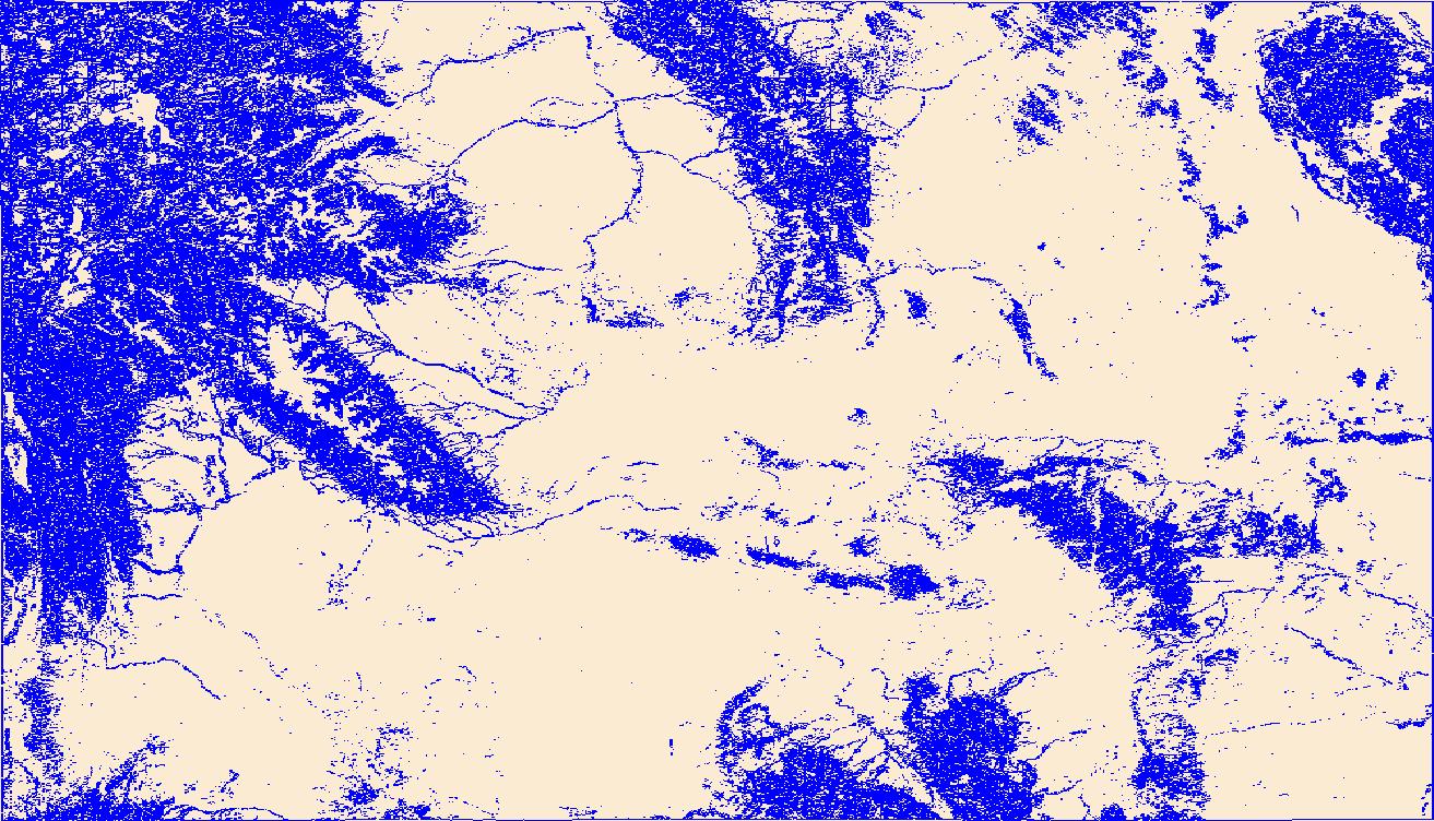
The USGS National Hydrography Dataset (NHD) service from The National Map (TNM) is a comprehensive set of digital spatial data that encodes information about naturally occurring and constructed bodies of surface water (lakes, ponds, and reservoirs), paths through which water flows (canals, ditches, streams, and rivers), and related entities such as point features (springs, wells, stream gages, and dams). The information encoded about these features includes classification and other characteristics, delineation, geographic name, position and related measures, a "reach code" through which other information can be related to the NHD, and the direction of water flow. The network of reach codes delineating water and...
|

|
