Filters: Tags: Habitat (X)
1,451 results (16ms)|
Filters
Date Range
Extensions (Less)
Types (Less)
Contacts (Less)
Categories (Less)
Tag Types
|
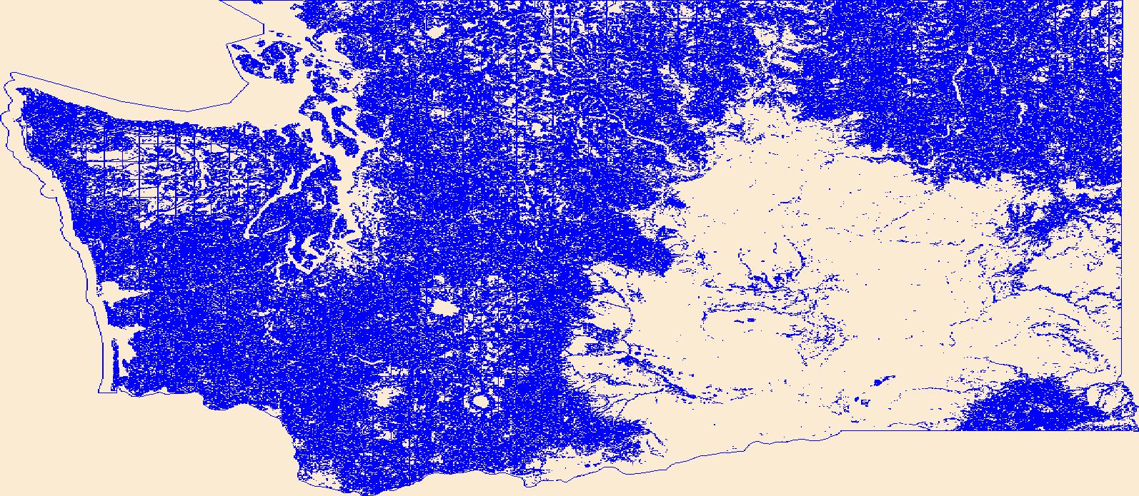
This dataset is a component of a complete package of products from the Connect the Connecticut project. Connect the Connecticut is a collaborative effort to identify shared priorities for conserving the Connecticut River Watershed for future generations, considering the value of fish and wildlife species and the natural ecosystems they inhabit. Click here to download the full data package, including all documentation.This dataset represents the climate response index for Eastern Meadowlark. Climate response is one of several different measures of landscape capability that reflect different decisions (or assumptions) regarding how to incorporate current versus future land use and climate changes. The climate response...
Categories: Data;
Types: ArcGIS REST Map Service,
ArcGIS Service Definition,
Citation,
Downloadable,
Map Service;
Tags: Data,
LCC Network Science Catalog,
North Atlantic Landscape Conservation Cooperative Data.gov,
change,
change,
This dataset is a component of a complete package of products from the Connect the Connecticut project. Connect the Connecticut is a collaborative effort to identify shared priorities for conserving the Connecticut River Watershed for future generations, considering the value of fish and wildlife species and the natural ecosystems they inhabit. Click here to download the full data package, including all documentation.This dataset represents the climate response index for Moose. Climate response is one of several different measures of landscape capability that reflect different decisions (or assumptions) regarding how to incorporate current versus future land use and climate changes. The climate response index is...
Categories: Data;
Types: ArcGIS REST Map Service,
ArcGIS Service Definition,
Citation,
Downloadable,
Map Service;
Tags: Data,
LCC Network Science Catalog,
North Atlantic Landscape Conservation Cooperative Data.gov,
change,
change,
This data product contains combined estimates of high habitat quality areas for mountain lion, mule deer, desert bighorn sheep, and black bear. The analysis area was a 236,000 square kilometers that encompassed the Navajo Nation, which includes portions of Arizona, New Mexico, and Utah. The estimates of habitat quality were created with spatially explicit habitat variables and either an expert-based linear combination process (for mountain lion and mule deer) or a generalized linear mixed model-based estimation that used radio-collar telemetry data (for desert bighorn sheep, black bear, and pronghorn; collected between 2005-2011). Habitat variables varied among species but included vegetation type, terrain ruggedness,...
Categories: Data;
Types: ArcGIS REST Map Service,
ArcGIS Service Definition,
Downloadable,
Map Service;
Tags: Arizona,
Navajo Nation,
New Mexico,
Utah,
habitat,
Phase 1 & 2 (2010, 2012): This project developed a sampling design and monitoring protocol for wintering shorebirds in the Central Valley and in the San Francisco Bay Estuary and develop an LCC-specific online shorebird monitoring portal publicly available at the California Avian Data Center. The three objectives in Phase II of this project are: 1) Complete the shorebird monitoring plan for the CA LCC by developing a sampling design and monitoring protocol for wintering shorebirds in coastal southern California and northern Mexico. 2) Develop models to evaluate the influence of habitat factors from multiple spatial scales on shorebird use of San Francisco Bay and managed wetlands in the Sacramento Valley, as a model...
Categories: Data,
Project;
Types: Map Service,
OGC WFS Layer,
OGC WMS Layer,
OGC WMS Service;
Tags: 2010,
2011,
2013,
Academics & scientific researchers,
Academics & scientific researchers,
To support an investigation of the effectiveness of a large-scale river restoration project, several types of field data were collected from two gravel-bed reaches of the regulated lower Merced River in California's Central Valley, primarily in the fall of 2016. These data sets were intended to characterize salmon spawning habitat and identify factors influencing spawning site selection. This parent data release includes links to child pages for the following data sets: 1) Bulk samples of streambed sediment used to characterize the subsurface grain size distribution. 2) Pebble counts used to characterize the sediment grain size distribution of the bed surface. 3) Force gage measurements used to parameterize a...
Types: Map Service,
OGC WFS Layer,
OGC WMS Layer,
OGC WMS Service;
Tags: California,
Central Valley,
Ecology,
Geomorphology,
Gravel friction angle,
The delineation of priority areas in western North America for managing Greater Sage-Grouse (Centrocercus urophasianus) represents a broad-scale experiment in conservation biology. The strategy of limiting spatial disturbance and focusing conservation actions within delineated areas may benefit the greatest proportion of Greater Sage-Grouse. However, land use under normal restrictions outside priority areas potentially limits dispersal and gene flow, which can isolate priority areas and lead to spatially disjunct populations. We used graph theory, representing priority areas as spatially distributed nodes interconnected by movement corridors, to understand the capacity of priority areas to function as connected...
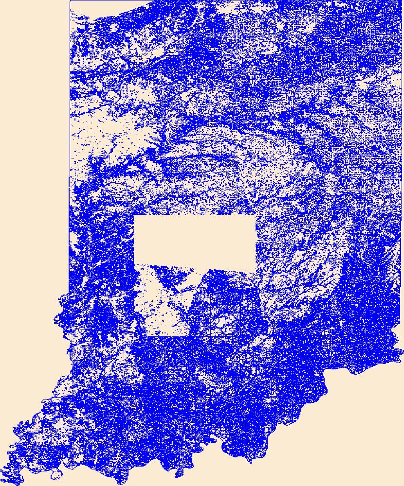
Geospatial data that is a derivative land cover product depicting woodland on topographic maps.
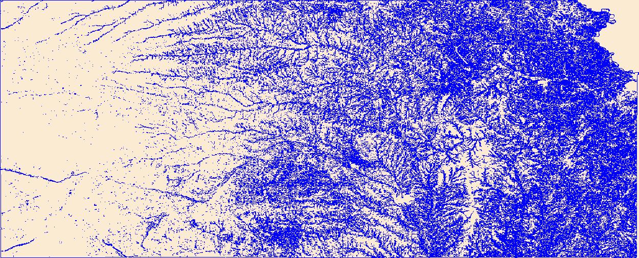
Geospatial data that is a derivative land cover product depicting woodland on topographic maps.
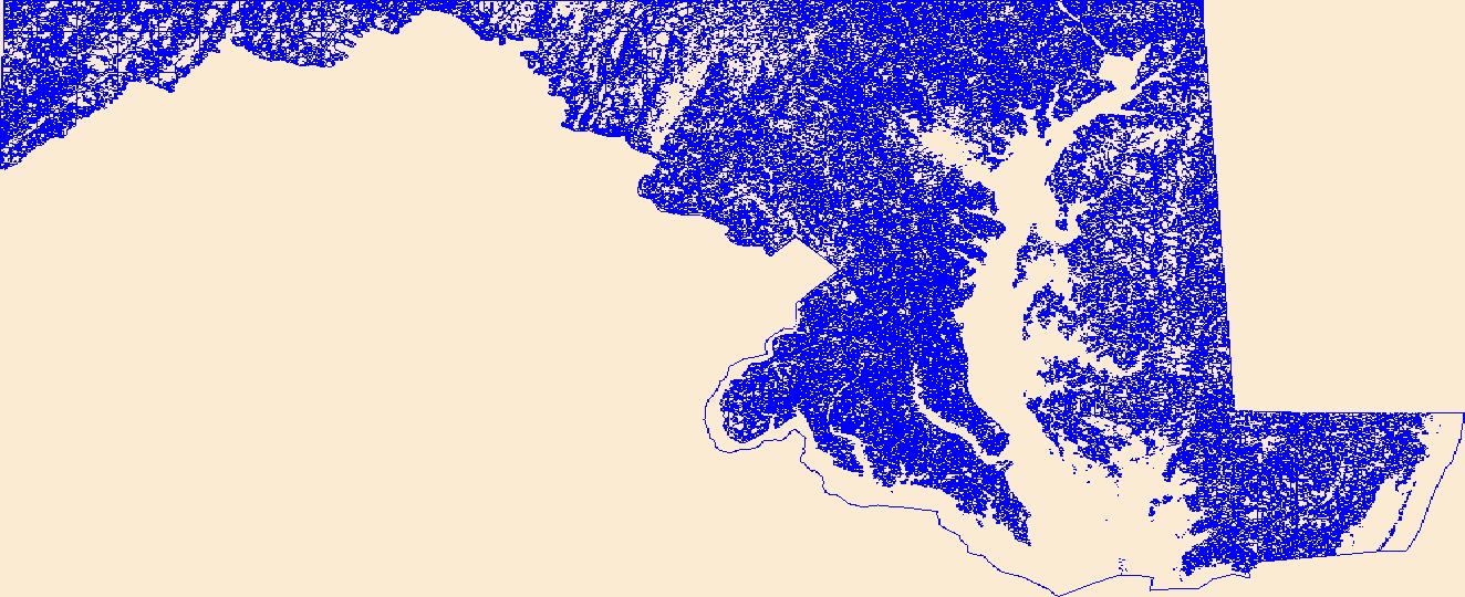
Geospatial data that is a derivative land cover product depicting woodland on topographic maps.
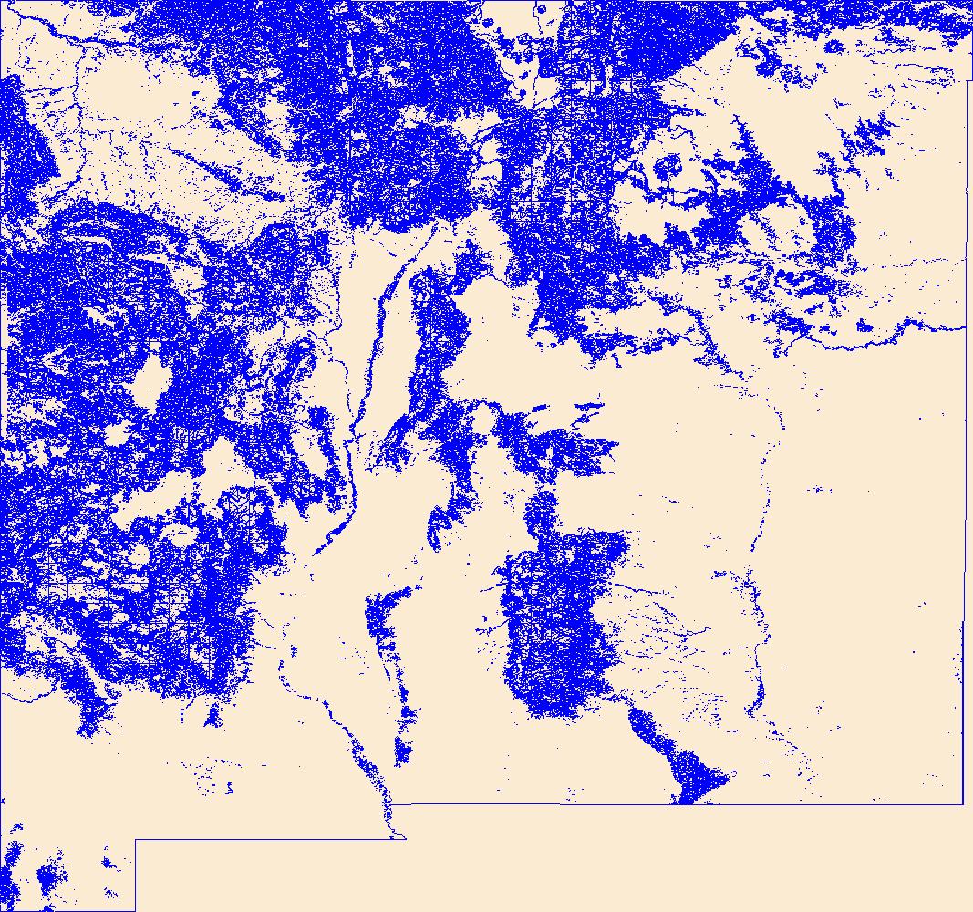
Geospatial data that is a derivative land cover product depicting woodland on topographic maps.
Geospatial data that is a derivative land cover product depicting woodland on topographic maps.
All mensuration data represented here expand upon vessel operations (OP table) data, all of which are collected by the United States Geological Survey, Great Lakes Science Center and its partners. The Mensuration Tables contain data collected from the research vessel deploying various gear used for mensuration data collection. The database uses sample_type to indicate the gear deployed. The tables relating to Mensuration are: Mensuration.csv, MS_head_rope_depth.csv, MS_FOOT_ROPE_DEPTH, MS_Primary.csv, MS_Temperature.csv, and MS_Wingspread.csv Data Quality: Note that the following data release is a snapshot of the database at the time of release. Some data quality checks are still being undertaken after the time...
Sage-grouse (Centrocercus urophasianus and C. minimus) historically inhabited much of the sagebrush-dominated habitat of North America. Today, sage-grouse populations are declining throughout most of their range. Population dynamics of sage-grouse are marked by strong cyclic behavior. Adult survival is high, but is offset by low juvenile survival, resulting in low productivity. Habitat for sage-grouse varies strongly by life-history stage. Critical habitat components include adequate canopy cover of tall grasses (? 18 cm) and medium height shrubs (40?80 cm) for nesting, abundant forbs and insects for brood rearing, and availability of herbaceous riparian species for late-growing season foraging. Fire ecology of...
Categories: Publication;
Types: Citation,
Journal Citation;
Tags: Rangeland Ecology & Management,
Society for Range Management,
fire ecology,
habitat,
herbicide,
Distribution, movements, and habitat use of 10 wild adult razorback suckers (Xyrauchen texanus) were examined in Lake Mohave, Arizona-Nevada, from November 1994 through July 1997. Movement rates (0.00?17.35 km d?1) and ranges (x?= 39 km) were similar to those for riverine populations. All study fish returned to spawning sites used in previous years, but they also visited other spawning areas. Spawning females were significantly (P = 0.031) more active than males (480 vs. 87 m d?1) and moved substantial distances between spawning sites during peak reproduction (1?28 February). Fish became most active (m d?1, km month?1) after spawning and moved to areas known to support higher algal production. Fish were typically...
Categories: Publication;
Types: Citation,
Journal Citation;
Tags: Western North American Naturalist,
Xyrauchen texanus,
habitat,
movements,
razorback sucker,
Coalbed methane is one of the most important and valuable natural resources in the Western United States. The natural gas that results from CBM development is the cleanest burning fossil fuel, and the extensive domestic supply makes it a central element of the national goal of a secure supply of energy. Demand for natural gas will continue to grow and CBM will play an increasingly larger role in meeting that demand. CBM production has expanded tremendously over the past decade, and the rapidity with which development has expanded has resulted in stresses and tension in affected communities. Development of this important energy resource must be balanced with a number of other important goals of protecting water,...
Categories: Publication;
Types: Citation;
Tags: Canada,
Commentary,
Information,
considerations,
diamond,
Geospatial data that is a derivative land cover product depicting woodland on topographic maps.

This dataset depicts Ecosystems of Belize - version 2004. This dataset is an update from the 2001 Belize Ecosystems Map (Meerman & Sabido, 2001). This 2004 version has been enhanced using a substantial set of new data. The data quality of the 2004 version has greatly improved over the 2001 version. Marine habitat data were much improved. The classification still follows the UNESCO system developed for the Central American Ecosystems Map and is thus completely consistent with that product. Also, for the first time, metadata are included.

These data identify, in general, the areas where final critical habitat for the San Diego fairy shrimp (Branchinecta sandiegonensis) occur.

These data identify, in general, the areas where final critical habitat for the Mountain Yellow-legged frog (Rana muscosa) occur.
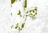
This data set represents greater SAGE GROUSE brooding use areas in Utah as determined by UDWR field biologists in 2010.
|

|
