USGS Geographic Names Acquisition Plan Objectives for FY14 - The National Map

Dates

Publication Date
Time Period
2014
File Modification Date
2014-01-24 16:03:00

Summary

U.S. Geological Survey, Department of the Interior - The annual Geographic Names acquisition plan is to collect geographic name data over the United States and its territories through the Board on Geographic Names processes. The U.S. Board on Geographic Names is a Federal body created in 1890 and established in its present form by Public Law in 1947 to maintain uniform geographic name usage throughout the Federal Government. The Board comprises representatives of Federal agencies concerned with geographic information, population, ecology, and management of public lands. Sharing its responsibilities with the Secretary of the Interior, the Board promulgates official geographic feature names with locative attributes as well as principles, [...]

Contacts

Attached Files

Click on title to download individual files attached to this item.

PlannedAcquisition-GeographicNames.xml
Original FGDC Metadata

View
7.78 KB application/fgdc+xml
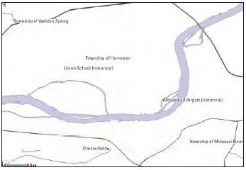
Browse graphic showing Geographic Names.

Map

Communities

  • National Geospatial Program
  • The National Map

Tags

Provenance

Data source
Link Processing
Added to Sciencebase on Mon Oct 20 14:47:03 MDT 2014 by processing URL <b>PlannedAcquisition-GeographicNames.xml</b> in item <a href="https://www.sciencebase.gov/catalog/item/5445609be4b0f888a81b7e0c">https://www.sciencebase.gov/catalog/item/5445609be4b0f888a81b7e0c</a> <br />
Additional Information

Identifiers

Type Scheme Key
processingUrl http://thor-f5.er.usgs.gov/ngtoc/metadata/waf/planned/PlannedAcquisition-GeographicNames.xml

Item Actions

View Item as ...

Save Item as ...

View Item...