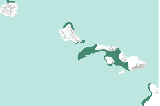
The National Marine Sanctuary Program manages a system of sanctuaries and other managed areas around the country. The legal boundaries of these sanctuaries are defined within the Code of Federal Regulations, at 15 C.F.R. Part 922 and the subparts for each national marine sanctuary. The GIS compatible digital boundary files for each national marine sanctuary are representations of those legal boundaries and are based on the best available data. These files are available for public use at locations defined in this metadata record.
Summary
The National Marine Sanctuary Program manages a system of sanctuaries and other
managed areas around the country. The legal boundaries of these sanctuaries are
defined within the Code of Federal Regulations, at 15 C.F.R. Part 922 and the
subparts for each national marine sanctuary. The GIS compatible digital boundary
files for each national marine sanctuary are representations of those legal
boundaries and are based on the best available data. These files are available
for public use at locations defined in this metadata record.