NOAA California Ocean Uses - Industrial (dominant areas)
Dates
Original Data Basin Creation Date
2011-05-02 08:21:38
Original Data Basin Modified Date
2011-05-24 10:45:47
Summary
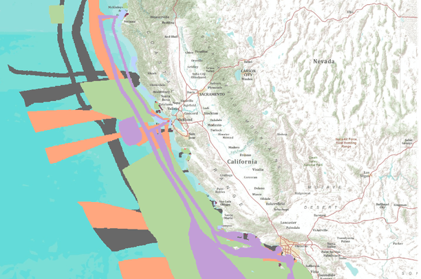
These data are an extraction of the "dominant' industrial data from the California Ocean Uses dataset. For the full dataset please visit, http://www.mpa.gov/dataanalysis/atlas_ca/. The California Ocean Uses Atlas Project is an innovative public-private partnership between NOAA's Marine Protected Areas Center and Marine Conservation Biology Institute . Funded by grants from the Gordon and Betty Moore Foundation and the Resources Legacy Fund Foundation , the Atlas project fills a critical information gap in ocean management by mapping, for the first time, the full range of significant human uses of the ocean in state and federal waters of the coast of California. Spatial data for nearly 30 ocean uses were gathered through a series of [...]
Summary
These data are an extraction of the "dominant' industrial data from the California Ocean Uses dataset. For the full dataset please visit, http://www.mpa.gov/dataanalysis/atlas_ca/.
The California Ocean Uses Atlas Project is an innovative public-private partnership between NOAA's Marine Protected Areas Center and
Marine Conservation Biology Institute . Funded by grants from the
Gordon and Betty Moore Foundation and the
Resources Legacy Fund Foundation , the Atlas project fills a critical information gap in ocean management by mapping, for the first time, the full range of significant human uses of the ocean in state and federal waters of the coast of California. Spatial data for nearly 30 ocean uses were gathered through a series of participatory mapping workshops convened with regional ocean use experts throughout the state. The resulting atlas data provides baseline information regarding the location and extent to which the ocean environment is used for non-consumptive, fishing, and industrial and military activities. The results of this project can be accessed below and include regional and statewide use maps, a downloadable GIS geodatabase, analytical case studies and an online mapping tool for data visualization.