USGS Small-scale Dataset - Global Map: 1:1,000,000-Scale Coastline of the United States 201403 FileGDB 10.1
Dates
Publication Date
2014-03
Time Period
2014-03
File Modification Date
2016-10-06 17:30:00
Citation
U.S. Geological Survey, 201403, USGS Small-scale Dataset - Global Map: 1:1,000,000-Scale Coastline of the United States 201403 FileGDB 10.1: U.S. Geological Survey.
Summary
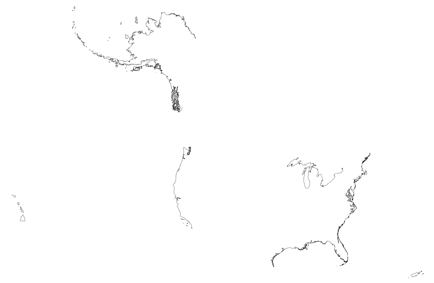
This map layer includes Global Map data showing the coastline of the United States, Puerto Rico, and the U.S. Virgin Islands. The United States shoreline of the Great Lakes is also included. The data are a modified version of the National Atlas of the United States 1:1,000,000-Scale Coastline of the United States.
Summary
This map layer includes Global Map data showing the coastline of the United States, Puerto Rico, and the U.S. Virgin Islands. The United States shoreline of the Great Lakes is also included. The data are a modified version of the National Atlas of the United States 1:1,000,000-Scale Coastline of the United States.
Global Map data are part of a cooperative effort among national mapping organizations around the world to produce and maintain a standard set of basic cartographic data that supports global investigations of natural and human-built environments. Participating nations prepare data using a common data structure and description to ensure compatibility and to tangibly promote the tenets of the Global Spatial Data Infrastructure. These data are intended for geographic display and analysis at the national level, and for large regional areas. The data should be displayed and analyzed at scales appropriate for 1:1,000,000-scale data. No responsibility is assumed by the National Atlas of the United States in the use of these data.