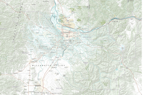
Stream routes (projected and existing), Portland Metro Region, Oregon
Dates
Original Data Basin Creation Date
2012-07-04 15:22:26
Original Data Basin Modified Date
2012-07-04 15:22:26
Summary
Routed regional river centerline data layer using the polylineM feature format with measures in kilometers. The stream route layer includes stream locations where, on the basis of the raster model used to create the data layer, surface water may have once existed, but is now piped, culverted or thought to be buried. Likewise the layer includes centerlines through water bodies, i.e. portions of streams that connect with larger bodies of water such as wetlands, ponds, etc. Thus many portions of a stream route feature are included primarily to complete the centerline network for routing purposes. Downloaded from Metro's RLIS Discovery site on 7/2/2012.
Summary
Routed regional river centerline data layer using the polylineM feature format with measures in kilometers. The stream route layer includes stream locations where, on the basis of the raster model used to create the data layer, surface water may have once existed, but is now piped, culverted or thought to be buried. Likewise the layer includes centerlines through water bodies, i.e. portions of streams that connect with larger bodies of water such as wetlands, ponds, etc. Thus many portions of a stream route feature are included primarily to complete the centerline network for routing purposes.